Install
Álamo, Veracruz, Mexico Weather
Current conditions
Forecast for this hour (no station report in the last two hours)
Forecast
10-day-
Wednesday
Heavy showers. High 28°. Precipitation 20.8 mm for the day.
-
Wednesday Night
Heavy rain. Low 22°. Precipitation 20.8 mm for the day.
-
Thursday
Heavy rain. High 26°. Precipitation 39.8 mm for the day.
MET Norway forecast updated 1 hr ago.
Hourly
Hourly forecast- Now22°
- 01:0022°0.4
- 02:0022°0.2
- 03:0022°3.6
- 04:0022°0.2
- 05:0022°
- 06:0022°
- 07:0022°
- 08:0023°
- 09:0024°0.2
- 10:0025°2.4
- 11:0025°0.7
- 12:0025°
- 13:0027°
- 14:0028°
- 15:0027°0.2
- 16:0026°
- 17:0026°
- 18:0025°
- 19:0024°0.7
- 20:0023°2.1
- 21:0022°6.4
- 22:0022°2.6
- 23:0022°1.0
Daily forecast
DetailsRadar
Full mapWeather news near Álamo
More weather news-
 Was San Antonio fooled by 'false fall'? Temps could flirt with 90.
Enjoy the fall weather while you can, San Antonio. Tuesday’s mild temperatures could even be considered part of a “false fall” in South Texas, given how close the temperatures will flirt once again with 90 degrees for…
- Alamo City Basks in Crisp Weekend Before Heat Roars Back
San Antonio is starting Saturday with morning temperatures in the 40s to around 50 degrees, but the afternoon will be comfortable by October standards. Highs should reach about 70 degrees under mostly sunny to partly…
-
 Cold front brings cold weather to San Antonio on Saturday
A strong cold front brings San Antonio-area temperatures down to the 40s on Saturday, October 16, 2026. Here are the cities that will experience it. San Antonio residents are enjoying cooler weather this week thanks to…
- San Antonio Wind Advisory Brings Cooler Weekend
Friday brings showers followed by partly sunny skies, with a high near 72 as a strong cold front quickly changes the feel of the day. A few showers could linger through midmorning before skies brighten, with powerful…
-
 Cold front brings cold weather to San Antonio. Here's the forecast.
San Antonio residents are enjoying cooler weather this week thanks to a strong Texas cold front. A jacket or long sleeves will still be needed on Saturday, October 16, as breezy conditions continue. According to the…
-
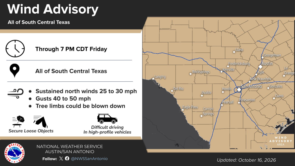 San Antonio's gusty winds diminish Saturday, creating pleasant weekend
High winds in the wake of a cold front should die down on Saturday afternoon in San Antonio, setting up a very pleasant weekend for all sorts of outdoor activities. Northerly winds of 40 miles per hour or higher…
-
 Cold front to send San Antonio temps plunging. How cold will it get?
A cold front arrives in San Antonio, Texas, bringing up to a 20-degree temperature drop and rain showers in October 2026. If you've been itching to wear a long-sleeve shirt, now is your time. A cold front has arrived in…
-
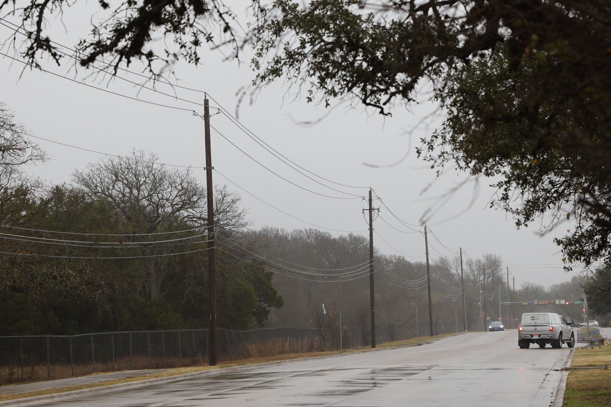 Freeze watch issued amid cold front in Texas. Here's where.
The National Weather Service issued a freeze watch to parts of the Texas Panhandle amid a strong cold front. After weeks of unbearably, and unseasonably, high temperatures across Texas, the Lone Star State is slated to…
-
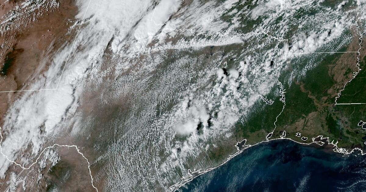 San Antonio's week to end with highs in the 70s with 40 mph wind gusts
You may not need a pumpkin-spiced latte to keep you warm after the arrival of a cold front in the San Antonio area this weekend, but you will probably want to make sure any Halloween decorations in the front yard are…
-
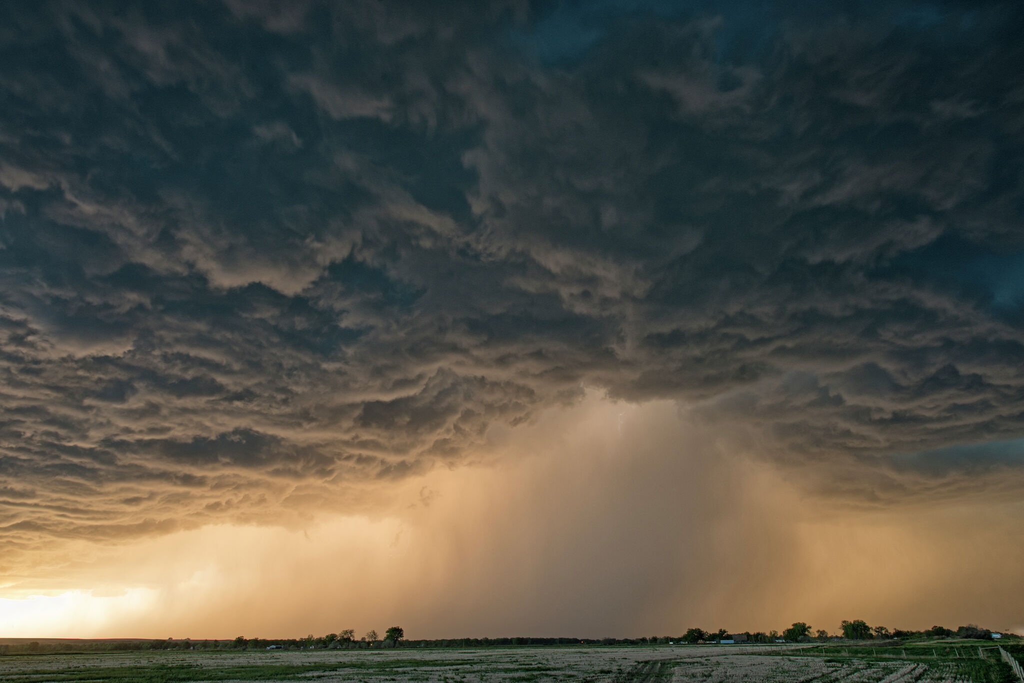 Cold front may pummel Texas with large hail. Here's where
A hail storm may hit Texas towns soon as cold front stalls and continues to bring severe storm threats. A stalled cold front may have brought some relief from soaring temperatures in Texas last week, but it continues to…
Sun & moon
Nearby
- Poza Rica de Hidalgo 48 km
- Túxpam de Rodríguez Cano 28 km
- Coatzintla 52 km
- Cerro Azul 32 km
- Naranjos 49 km
- Alto Lucero 25 km
- Tihuatlan 26 km
- Villa Lázaro Cárdenas 50 km
- Plan de Ayala 46 km
- Santiago de la Peña 28 km
- Totolapa 45 km
- Venustiano Carranza 45 km
Forecasts, observations and alerts in the United States come from the National Weather Service (NOAA); radar from NOAA's Multi-Radar Multi-Sensor system; satellite imagery from NASA's Global Imagery Browse Services (GIBS) and NOAA's GOES satellites; the map from the U.S. Geological Survey's National Map; air quality from AirNow (EPA and its partners); hurricane information from the National Hurricane Center; climate normals and records from NOAA's Regional Climate Centers (ACIS). Forecasts outside the United States and the UV index: MET Norway (CC BY 4.0); observations outside the U.S.: airport reports via NOAA's Aviation Weather Center. Place names: GeoNames (CC BY 4.0). Data are copied on a schedule and may lag the sources; for warnings that affect your safety, follow your local National Weather Service office and emergency officials. Weather news is drawn from the 4Conservative index and reflects what the press published. Terms of use.