Install
Guraidhoo, Kaafu Atoll, Maldives Weather
Current conditions
Forecast for this hour (no station report in the last two hours)
Forecast
10-day-
Monday
Heavy rain. High 30°. Precipitation 6.2 mm for the day.
-
Monday Night
Rain. Low 27°. Precipitation 6.2 mm for the day.
-
Tuesday
Heavy rain. High 30°. Precipitation 11.8 mm for the day.
MET Norway forecast updated 3 hrs ago.
Hourly
Hourly forecast- Now29°0.2
- 11:0029°3.3
- 12:0027°1.6
- 13:0027°0.5
- 14:0027°0.2
- 15:0028°
- 16:0028°
- 17:0028°
- 18:0028°
- 19:0029°0.3
- 20:0029°
- 21:0029°
- 22:0029°
- 23:0030°
- Tue00:0030°
- 01:0029°0.4
- 02:0029°0.7
- 03:0028°
- 04:0029°0.3
- 05:0029°0.9
- 06:0027°0.9
- 07:0027°1.3
- 08:0027°1.2
- 09:0028°0.4
Daily forecast
DetailsRadar
Full mapWeather news in Maldives
More weather news-
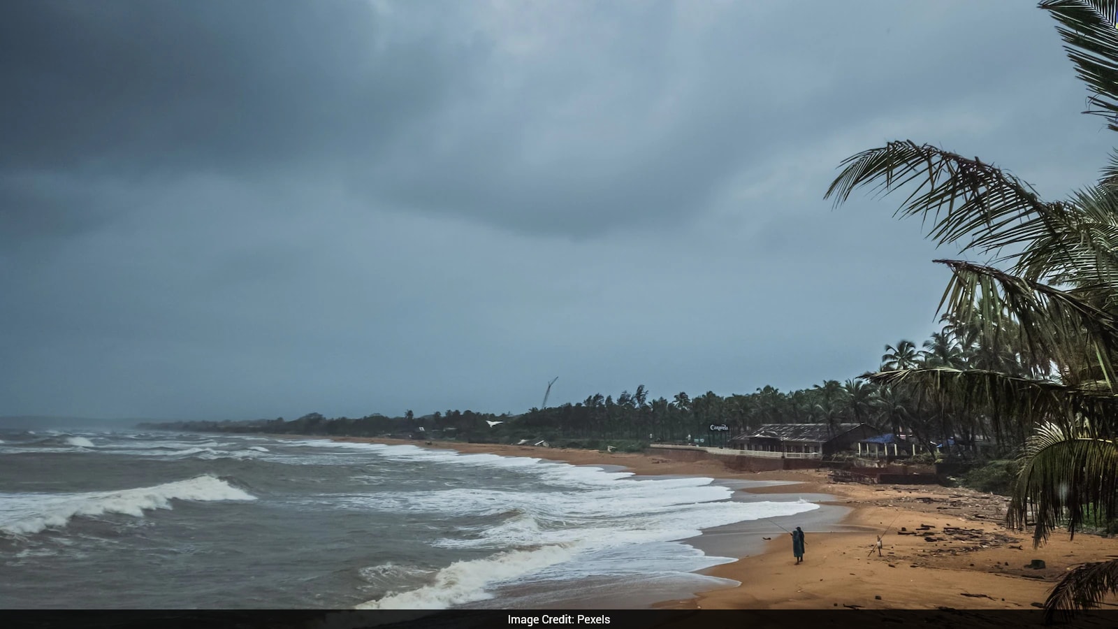 Cyclone Arnab: Origin Of The Name And What You Need To Know
Cyclones can bring strong winds, heavy rainfall and flooding, making it important for states in their expected path to prepare in advance. As Cyclone Arnab approaches the eastern coast of India, Odisha and Andhra…
-
 MMS urges public to remain vigilant as heavy rain clouds forming to the west of the country begin moving over the atolls
The Maldives Meteorological Service has urged the public to exercise caution as the southwest monsoon intensifies, with severe weather conditions forecast for the northern and central atolls over the next three days…
-
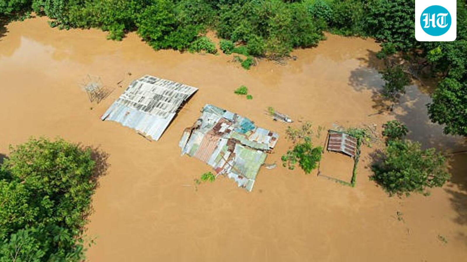 El Nino could be unprecedented, may rise to 3.8°C above average between Nov-Jan: WMO
WMO declares an El Niño when the sea surface temperature anomaly in the tropical Pacific is 0.5°C and higher. The outlook, shared late on Wednesday, said a very strong El Niño disrupts normal temperature and rainfall…
-
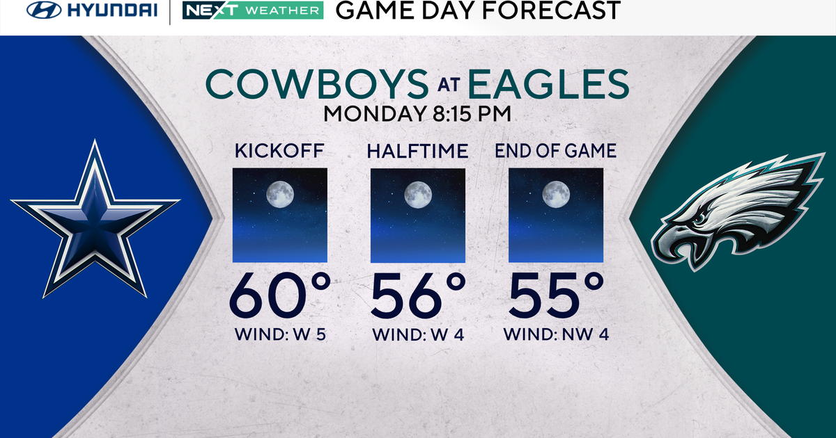 Terrific stretch of October weather continues for Philadelphia Eagles-Dallas Cowboys game Monday
October 25, 2026 / 11:52 PM EDT / CBS Philadelphia It will be a beautiful start to the workweek with plenty of sunshine, light winds and temperatures climbing to around 70 degrees in the Philadelphia region. We're…
-
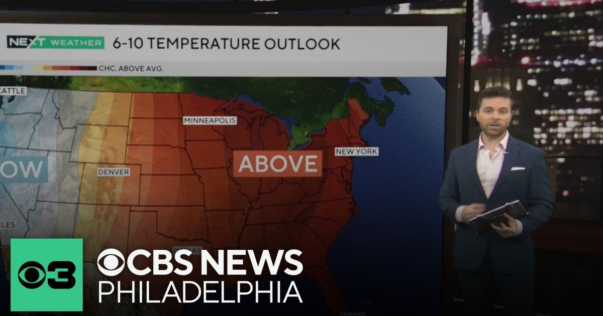 Beautiful stretch of October weather in Philadelphia region
CBS News Philadelphia is a local news organization that is part of CBS News and Stations. Also referred to as KYW-TV and channel 3, CBS News Philadelphia offers local breaking news, weather coverage and investigative…
-
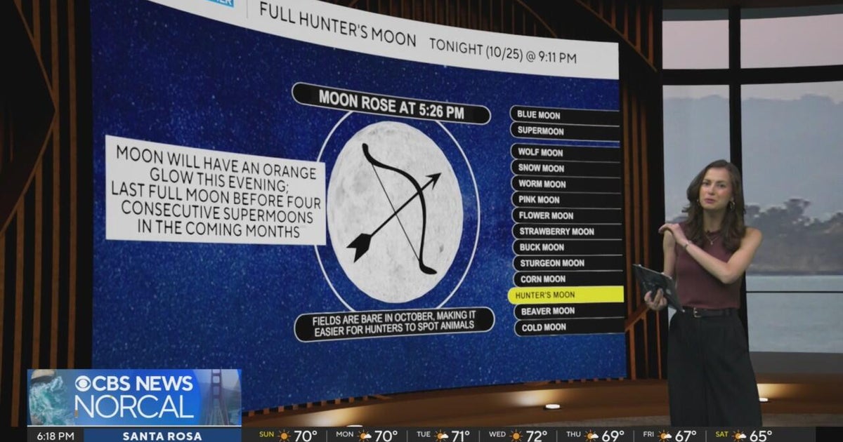 First Alert Weather Sunday evening forecast 10-25-26
CBS News Bay Area Evening Edition Weekend 6pm CBS News Detroit Weekend 6:30pm CBS News Miami 6:30pm CBS Philadelphia at 6:30pm KDKA News Weekend 10pm Your Community Stories From Your Reporters CBS News Texas 5:30pm
-
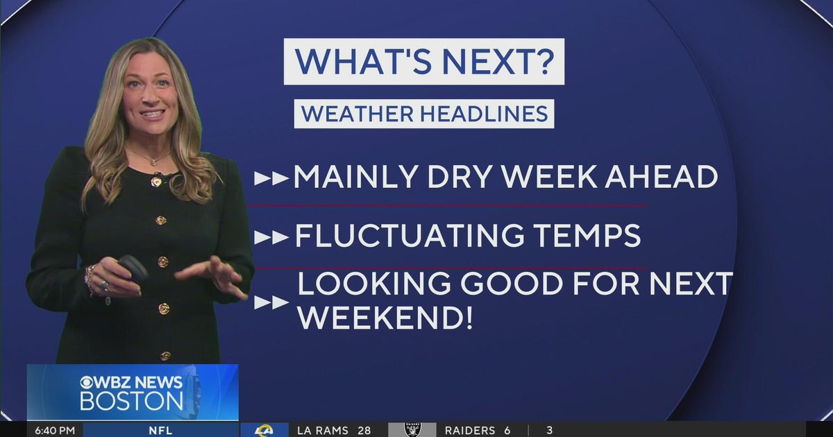 Next Weather: WBZ Evening Update for Oct. 25
CBS News Colorado Weekend 5pm CBS News Detroit Weekend 6:30pm CBS News Miami 6:30pm CBS Philadelphia at 6:30pm KDKA News Weekends 6:30pm CBS News Texas 5:30pm
-
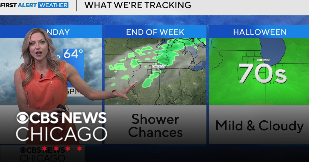 Areas of fog in Chicago Sunday night
CBS News Colorado Weekend 5pm CBS News Detroit Weekend 6:30pm CBS News Miami 6:30pm CBS Philadelphia at 6:30pm KDKA News Weekends 6:30pm CBS News Texas 5:30pm
-
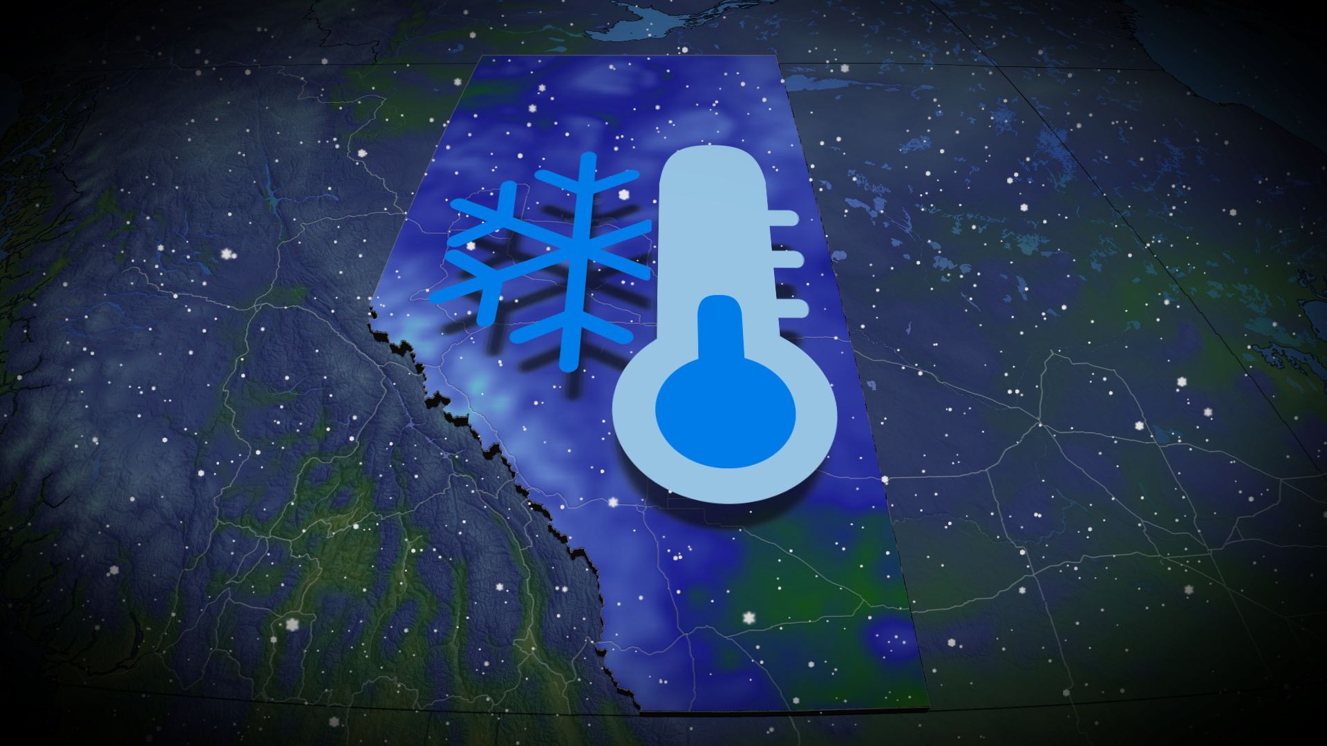 Wintry encore for Alberta as coldest air since April arrives
Prepare for subfreezing high temperatures by the middle of the week The recent burst of wintry weather in Alberta was a taste of the cold air and snow to come heading into the final week of October. Expect the coldest…
-
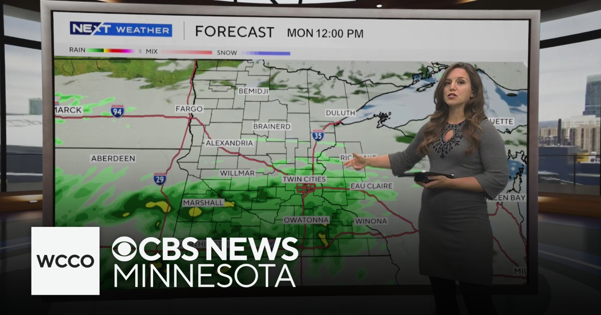 Expect below average temperatures and rain to start the work week | Oct. 25, 2026
CBS News Minnesota is a local news organization that is part of CBS News and Stations. Also referred to as WCCO-TV and channel 4, CBS News Minnesota offers local breaking news, weather coverage and investigative…
Sun & moon
Nearby
- Male 31 km
- Hulhumale 36 km
- Maafushi 5 km
- Mahibadhoo 57 km
Forecasts, observations and alerts in the United States come from the National Weather Service (NOAA); radar from NOAA's Multi-Radar Multi-Sensor system; satellite imagery from NASA's Global Imagery Browse Services (GIBS) and NOAA's GOES satellites; the map from the U.S. Geological Survey's National Map; air quality from AirNow (EPA and its partners); hurricane information from the National Hurricane Center; climate normals and records from NOAA's Regional Climate Centers (ACIS). Forecasts outside the United States and the UV index: MET Norway (CC BY 4.0); observations outside the U.S.: airport reports via NOAA's Aviation Weather Center. Place names: GeoNames (CC BY 4.0). Data are copied on a schedule and may lag the sources; for warnings that affect your safety, follow your local National Weather Service office and emergency officials. Weather news is drawn from the 4Conservative index and reflects what the press published. Terms of use. How to use Weather