Install
Midlands, Plaines Wilhems, Mauritius Weather
Current conditions
Forecast for this hour (no station report in the last two hours)
Forecast
10-day-
Friday
Rain. High 25°. Precipitation 2.9 mm for the day.
-
Friday Night
Fog. Low 17°. Precipitation 2.9 mm for the day.
-
Saturday
Heavy rain. High 25°. Precipitation 12.1 mm for the day.
MET Norway forecast updated 15 hrs ago.
Hourly
Hourly forecast- Now25°0.4
- 15:0023°0.4
- 16:0023°0.2
- 17:0022°
- 18:0021°
- 19:0020°
- 20:0019°
- 21:0019°
- 22:0018°
- 23:0018°
- Sat00:0018°
- 01:0018°
- 02:0018°
- 03:0018°
- 04:0017°
- 05:0017°
- 06:0018°
- 07:0020°
- 08:0022°
- 09:0024°
- 10:0025°0.3
- 11:0025°0.6
- 12:0025°1.6
- 13:0023°2.6
Daily forecast
DetailsRadar
Full mapWeather news near Midlands
More weather news-
 Storm Austen expected to bring very strong winds of up to 47mph to East Midlands
Shoppers shield themselves from wind and rain in Clumber Street, Nottingham city centre(Image: Joseph Raynor/ Nottingham Post) Storm Austen is set to bring gusts of up to 47mph and heavy rain to parts of the East…
-
 UK weather maps show 2C chill as Met Office forecast warns of 'chilly nights'
UK weather maps show daytime temperatures could plummet to near freezing at the beginning of next month, with many Brits facing a cold snap. The GFS weather model maps suggest temperatures will fall to just 1C in the…
-
 UK weather maps show 2C cold snap to hit 14 counties - full list
A cold snap is set to sweep across the UK in the coming weeks as temperatures are expected to drop to 2C in 14 counties. The WXCharts maps, using GFS data, have turned a frosty shade of blue on Sunday, November 1, as…
-
 UK weather maps show temperatures to plummet to 2C as Met Office warn of 'chilly nights'
At midday the temperatures will remain low UK weather maps show that temperatures are expected to plummet to near freezing at the beginning of next month with many Brits facing a cold snap. The WXCharts maps, using GFS…
-
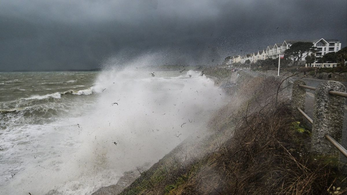 Storm Austen to hit UK within hours as Met Office issues amber warning over 'danger to life'
The Met Office has warned that Storm Austen could cause serious disruption when it hits the UK tonight Amber and yellow weather warnings are in place for parts of the UK as Storm Austen is set to hit. The storm is the…
-
 Britain to be battered by TWO storms in 24 hours: Met Office issues warnings for Storm Austen and Storm Boelo with 80mph gales and heavy rain hitting from tonight
By MARK DUELL, DEPUTY CHIEF REPORTER Britain will be battered by two named storms in just 24 hours as the country faces damaging winds and travel disruption caused by Storm Austen and Storm Boelo. Forecasters issued an…
-
 Nice days and chilly nights for the rest of the week
by Taylor Kanost and Will Rowe COLUMBIA, SC (WACH) — High pressure continues to dominate the weather across South Carolina and most of the eastern U.S. This will continue to keep skies clear today and the rest of the…
-
 Met Office issues ‘danger to life’ warning as Storm Austen approaches
Strong winds are expected across southern parts of England and Wales An amber wind warning has been issued for parts of southwest England, where heavy rain and severe gusts of up to 80mph are forecast. Storm Austen…
-
 Met office issues amber wind warning for parts of south-west England
The Met Office has issued an amber warning for wind in parts of south-west England, with strong gusts of 80mph and heavy rainfall expected on Friday. The forecaster said Storm Austen, the first named storm of the…
-
 Storm Austen to hit Devon and Cornwall rail services on Friday
Storm Austen’s strong winds and Met Office amber warnings will slow and cut Devon and Cornwall rail services on Friday, with long distance trains curtailed. Rail passengers across Devon and Cornwall are being urged to…
Sun & moon
Nearby
- Port Louis 21 km
- Vacoas 10 km
- Beau Bassin-Rose Hill 16 km
- Curepipe 5 km
- Quatre Bornes 12 km
- Triolet 31 km
- Goodlands 34 km
- Bel Air Rivière Sèche 21 km
- Bambous 19 km
- Centre de Flacq 23 km
- Mahébourg 16 km
- Saint Pierre 13 km
Forecasts, observations and alerts in the United States come from the National Weather Service (NOAA); radar from NOAA's Multi-Radar Multi-Sensor system; satellite imagery from NASA's Global Imagery Browse Services (GIBS) and NOAA's GOES satellites; the map from the U.S. Geological Survey's National Map; air quality from AirNow (EPA and its partners); hurricane information from the National Hurricane Center; climate normals and records from NOAA's Regional Climate Centers (ACIS). Forecasts outside the United States and the UV index: MET Norway (CC BY 4.0); observations outside the U.S.: airport reports via NOAA's Aviation Weather Center. Place names: GeoNames (CC BY 4.0). Data are copied on a schedule and may lag the sources; for warnings that affect your safety, follow your local National Weather Service office and emergency officials. Weather news is drawn from the 4Conservative index and reflects what the press published. Terms of use.