Install
Saint-Joseph, Martinique, Martinique Weather
Current conditions
Forecast for this hour (no station report in the last two hours)
Forecast
10-day-
Saturday
Rain. High 30°. Precipitation 8.2 mm for the day.
-
Saturday Night
Rain. Low 24°. Precipitation 8.2 mm for the day.
-
Sunday
Light showers. High 28°. Precipitation 9.1 mm for the day.
MET Norway forecast updated 1 day ago.
Hourly
Hourly forecast- Now30°0.4
- 13:0029°0.8
- 14:0027°0.6
- 15:0027°0.2
- 16:0027°0.3
- 17:0026°0.4
- 18:0025°0.5
- 19:0024°0.2
- 20:0024°
- 21:0024°0.3
- 22:0024°0.3
- 23:0024°0.5
- Sun00:0024°0.2
- 01:0024°0.2
- 02:0024°0.6
- 03:0024°0.5
- 04:0024°1.0
- 05:0023°0.4
- 06:0023°0.2
- 07:0024°
- 08:0026°
- 09:0028°0.4
- 10:0028°0.6
- 11:0028°0.7
Daily forecast
DetailsRadar
Full mapWeather news
More weather news-
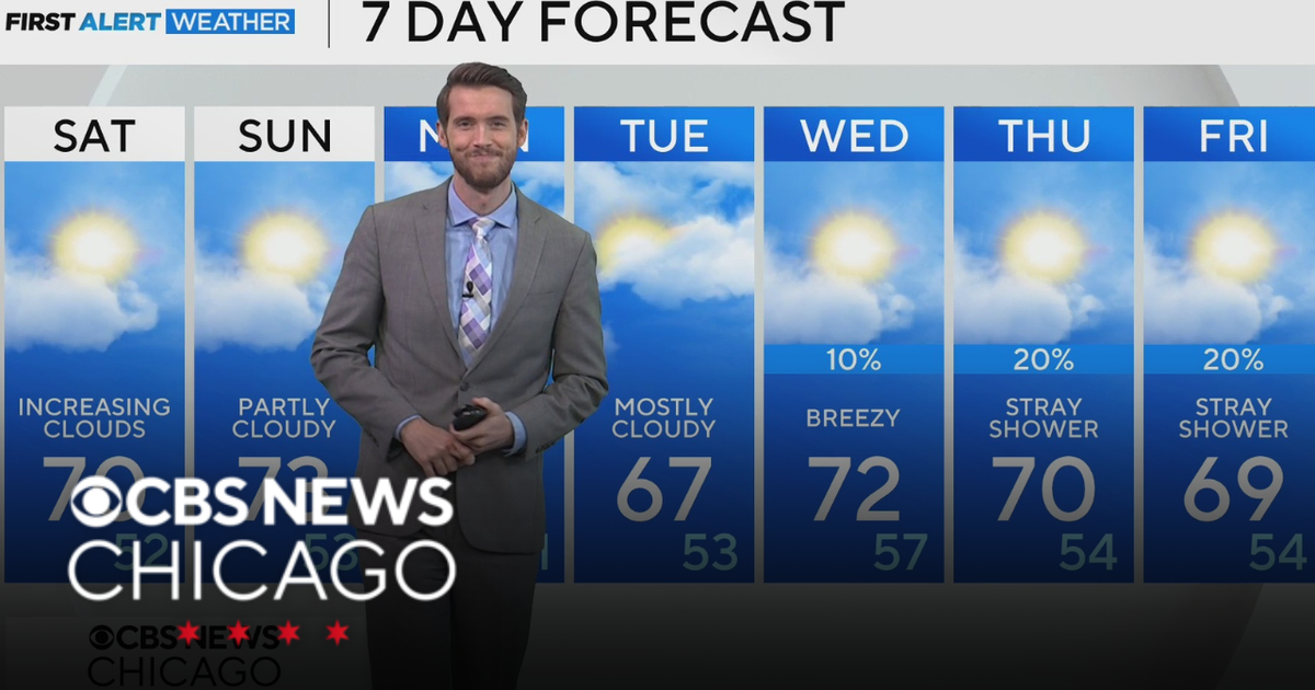 Mild, rain-free day Saturday for Chicago
CBS News Los Angeles Weekend 8am CBS News Miami This Morning 10am CBS News New York Saturday 11am Hometown High Q Classics CBS News Texas 9am
-
 Thousands without power as rain and wind continues
The Met Office issued a yellow weather warning for heavy rain on Saturday Thousands of homes are without power, and disruption is continuing across Devon and Cornwall after more stormy weather. On Friday, Storm Austen…
-
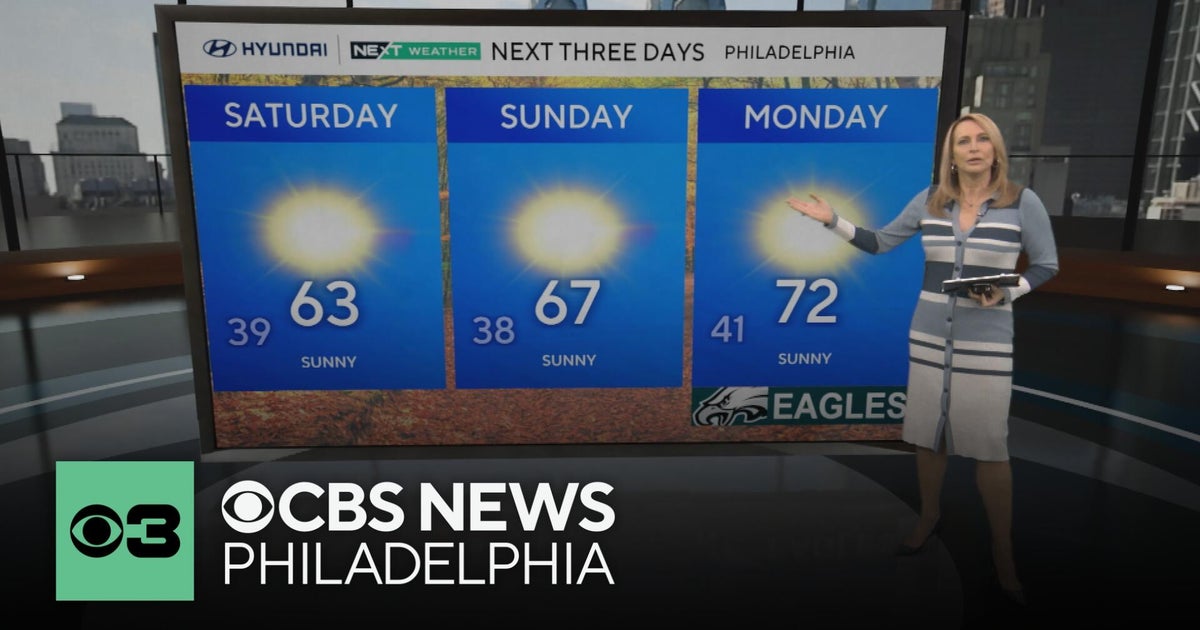 Frosty mornings and sunny days ahead in the Philadelphia area | NEXT Weather
CBS News Bay Area Morning Edition Weekend 7am CBS News Chicago Saturday at 9am CBS Colorado Mornings Weekend CBS News Los Angeles Weekend 7am CBS News Miami This Morning 10am CBS News New York Saturday 10am KDKA News…
-
 Another round of wind and showers Saturday in Minnesota | Oct. 24, 2026
CBS News Bay Area Morning Edition Weekend 6am WBZ This Morning 8am CBS News Chicago Saturday 8am CBS Colorado Mornings Weekend CBS News Los Angeles Weekend 6am CBS News Miami This Morning 9am WCCO News Saturday Morning…
-
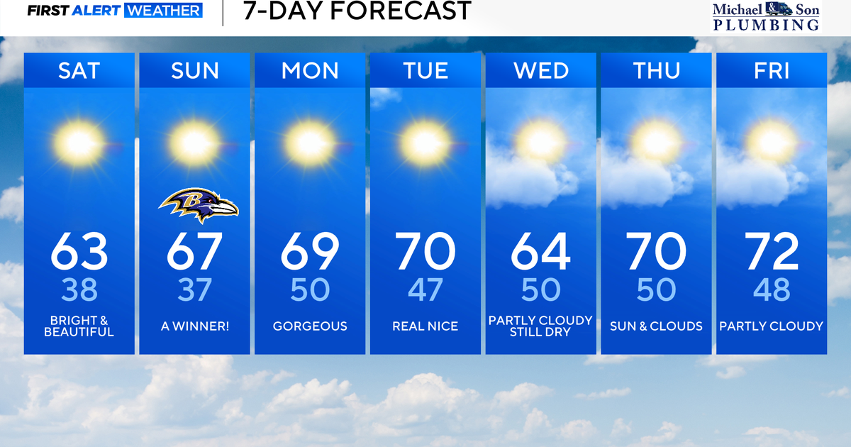 Perfect Fall weather across Maryland this weekend
October 24, 2026 / 9:12 AM EDT / CBS Baltimore The first full dry weekend of October will bring plenty of sunshine and comfortable daytime temperatures in the 60's through the weekend. After frosty mornings through the…
-
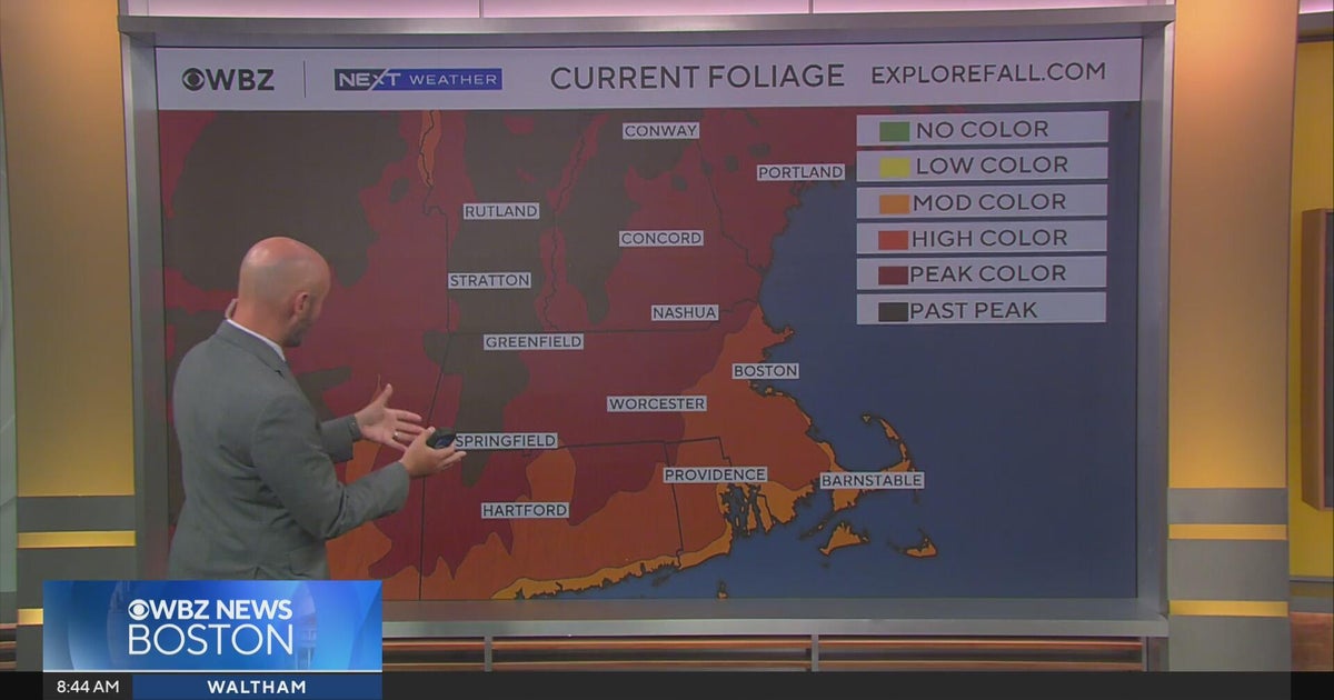 Next Weather: WBZ morning forecast for October 24, 2026
CBS News Bay Area Morning Edition Weekend 6am WBZ This Morning 8am CBS News Chicago Saturday 8am CBS Colorado Mornings Weekend CBS News Los Angeles Weekend 6am CBS News Miami This Morning 9am WCCO News Saturday Morning…
-
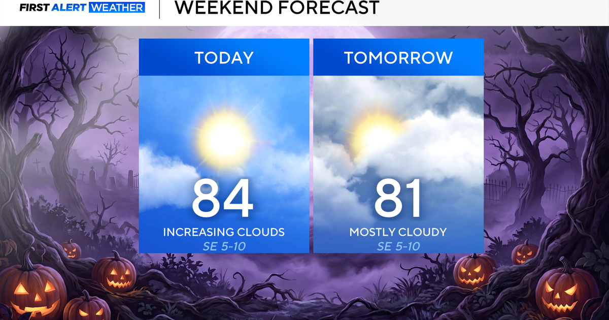 North Texas seeing rain chances return next week
October 24, 2026 / 7:21 AM CDT / CBS Texas North Texas was off to a seasonable start on Saturday morning, with temperatures mainly in the 50s. Temperatures will remain above average this weekend, with highs in the lower…
-
 Storm Boelo to bring gusts of up to 80mph and heavy rain to parts of UK
Second named storm in as many days will hit northern parts of UK as thousands remain without power after Friday’s Storm Austen The UK is bracing for a second storm this weekend, as strong winds and heavy rain are…
-
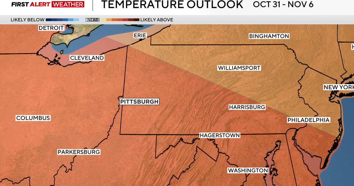 Pittsburgh could see its longest dry stretch of the year, with sunny skies and highs above normal
October 24, 2026 / 7:11 AM EDT / CBS Pittsburgh High pressure sticks around western Pennsylvania all weekend long and into the work week with sunny skies, dry conditions and highs above normal in the mid to upper 60s…
-
 Severe weather possible Tuesday in Southeast Michigan. Here's the timing and what to look for.
Updated on: April 14, 2026 / 11:50 PM EDT / CBS Detroit A severe weather threat exists for Tuesday, and Southeast Michigan is squarely in the path. A potent weather system is dragging unseasonably warm, humid air into…
Sun & moon
Nearby
- Fort-de-France 8 km
- Le Lamentin 8 km
- Le Robert 10 km
- Sainte-Marie 13 km
- Le François 16 km
- Ducos 13 km
- La Trinité 11 km
- Rivière-Pilote 25 km
- Le Gros-Morne 5 km
- Sainte-Luce 26 km
- Saint-Esprit 18 km
- Le Lorrain 18 km
Forecasts, observations and alerts in the United States come from the National Weather Service (NOAA); radar from NOAA's Multi-Radar Multi-Sensor system; satellite imagery from NASA's Global Imagery Browse Services (GIBS) and NOAA's GOES satellites; the map from the U.S. Geological Survey's National Map; air quality from AirNow (EPA and its partners); hurricane information from the National Hurricane Center; climate normals and records from NOAA's Regional Climate Centers (ACIS). Forecasts outside the United States and the UV index: MET Norway (CC BY 4.0); observations outside the U.S.: airport reports via NOAA's Aviation Weather Center. Place names: GeoNames (CC BY 4.0). Data are copied on a schedule and may lag the sources; for warnings that affect your safety, follow your local National Weather Service office and emergency officials. Weather news is drawn from the 4Conservative index and reflects what the press published. Terms of use.