Install
Luhuan, Saint Francis Xavier, Macao Weather
Current conditions
Forecast for this hour (no station report in the last two hours)
Forecast
10-day-
Wednesday
Fog. High 34°.
-
Wednesday Night
Fog. Low 25°.
-
Thursday
Partly cloudy. High 31°.
MET Norway forecast updated 7 hrs ago.
Hourly
Hourly forecast- Now26°
- 06:0026°
- 07:0025°
- 08:0025°
- 09:0028°
- 10:0031°
- 11:0032°
- 12:0033°
- 13:0034°
- 14:0034°
- 15:0034°
- 16:0033°
- 17:0033°
- 18:0032°
- 19:0031°
- 20:0031°
- 21:0030°
- 22:0029°
- 23:0029°
- Thu00:0028°
- 01:0028°
- 02:0027°
- 03:0027°
- 04:0026°
Daily forecast
DetailsRadar
Full mapWeather news near Luhuan
More weather news- Super Typhoon Champi to threaten Taiwan; Hong Kong risk under 30%
Travellers bound for Taiwan were put on notice as Super Typhoon Champi gathered strength over the western North Pacific, with weather offices across the region steering the storm toward the island while the Hong Kong…
-
 Delhi Rain Disrupts Flights as October Rainfall Hits 3.8 Times Normal
Delhi rain brought the capital’s maximum temperature below 30 degrees Celsius for the first time this month on Thursday, while disrupting air travel and pushing the city’s October rainfall total to 3.8 times its normal…
-
 Delhi sees moderate rain, temperature dips below 30°C
The Times of India New Delhi: The city got an intense spell of showers Thursday accompanied by a cool breeze that sent the temperature below 30 degrees Celsius for the first time this month.Delhi may get another spell…
-
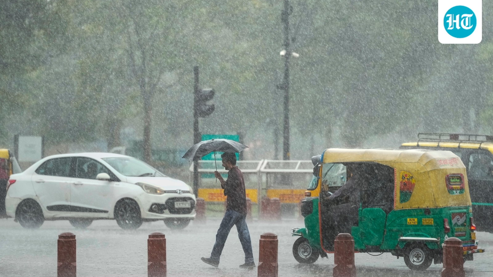 Delhi-bound flights diverted to Noida, Jaipur due to bad weather
At least five flights bound to Delhi have been diverted as rainfall hit the national capital on Thursday afternoon. The diverted flights, including three from Air India, one from Air India Express and one freighter…
-
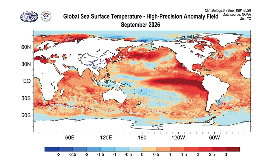 Super El Niño to possibly bring extreme cold snaps below 5°C
The Super El Niño event that formed last month is highly likely to persist through the spring of 2027, with among its effects being the possibility of bringing off-season rainfall and temporary extreme cold snaps below…
Sun & moon
Nearby
- Bao'an 59 km
- Zhongshan 48 km
- Zhuhai 18 km
- Macau 9 km
- Tuen Mun 53 km
- Tanzhou 18 km
- Tin Shui Wai 60 km
- Jing’an 29 km
- Santo António 9 km
- Nossa Senhora de Fátima 10 km
- San Tung Chung Hang 44 km
- Tung Chung 44 km
Forecasts, observations and alerts in the United States come from the National Weather Service (NOAA); radar from NOAA's Multi-Radar Multi-Sensor system; satellite imagery from NASA's Global Imagery Browse Services (GIBS) and NOAA's GOES satellites; the map from the U.S. Geological Survey's National Map; air quality from AirNow (EPA and its partners); hurricane information from the National Hurricane Center; climate normals and records from NOAA's Regional Climate Centers (ACIS). Forecasts outside the United States and the UV index: MET Norway (CC BY 4.0); observations outside the U.S.: airport reports via NOAA's Aviation Weather Center. Place names: GeoNames (CC BY 4.0). Data are copied on a schedule and may lag the sources; for warnings that affect your safety, follow your local National Weather Service office and emergency officials. Weather news is drawn from the 4Conservative index and reflects what the press published. Terms of use.