Install
Al Fqih Ben Çalah, Beni Mellal-Khenifra, Morocco Weather
Current conditions
Forecast for this hour (no station report in the last two hours)
Forecast
10-day-
Monday
Mostly sunny. High 30°.
-
Monday Night
Clear. Low 18°.
-
Tuesday
Cloudy. High 25°.
MET Norway forecast updated 2 hrs ago.
Hourly
Hourly forecast- Now30°
- 16:0030°
- 17:0028°
- 18:0025°
- 19:0024°
- 20:0023°
- 21:0021°
- 22:0020°
- 23:0018°
- Tue00:0017°
- 01:0016°
- 02:0017°
- 03:0017°
- 04:0016°
- 05:0016°
- 06:0016°
- 07:0016°
- 08:0019°
- 09:0021°
- 10:0023°
- 11:0023°
- 12:0023°
- 13:0024°
- 14:0025°
10-day forecast
DetailsRadar
Full mapWeather news near Al Fqih Ben Çalah
More weather news- Morocco Forecasts Rain in High Atlas, Strong Winds Along Southern Coast
Home » Morocco » Morocco Forecasts Rain in High Atlas, Strong Winds Along Southern Coast Agadir – Morocco’s General Directorate of Meteorology (DGM) forecasts rain in the High Atlas, morning fog in several regions, and…
- Morocco Braces for Rain, Thunderstorms in Southern Provinces
Home » Morocco » Morocco Braces for Rain, Thunderstorms in Southern Provinces Agadir – Morocco’s General Directorate of Meteorology (DGM) forecasts local rain and thunderstorms across parts of the Atlas Mountains and…
-
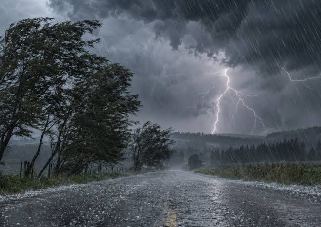 Morocco to Experience Thunderstorms Across Several Provinces
Home » Weather Morocco » Morocco to Experience Thunderstorms Across Several Provinces Heavy rain and lightning illuminate a dark, stormy sky as strong winds batter trees along a rural road. Rabat – A new weather alert…
- Heavy rain showers, thunderstorms and gale-force winds expected Wednesday in Morocco
Yabiladi.com Heavy rain showers, thunderstorms and gale-force winds expected Wednesday in Morocco The General Directorate of Meteorology has forecasted heavy rain, possibly accompanied by thunderstorms and strong winds…
-
 Locust Watch: Seasonal precipitation predictions in the Desert Locust summer/winter breeding areas (November 2026–April 2027) (21 October 2026)
Extremely strong El Niño conditions and a more positive Indian Ocean Dipole (IOD) favour we er conditions in eastern Africa, although the spring signal in Northwest Africa requires further confirmation. Dry conditions…
- Morocco Forecasts Rising Temperatures, Rain in Northern Regions
Home » Morocco » Morocco Forecasts Rising Temperatures, Rain in Northern Regions Agadir – The General Directorate of Meteorology (DGM) forecasts rising temperatures across most of Morocco today, alongside thunderstorms…
-
 WEATHER TODAY: Wind warning for Ladysmith and Dannhauser, high waves off KZN
Home » News » Weather » WEATHER TODAY: Wind warning for Ladysmith and Dannhauser, high waves off KZN Weather for Tuesday: Rustenburg is the warmest spot at 30°C and Pretoria reaches 29°C, while Cape Town has a 30%…
- Heavy thunderstorms and hail expected Monday in Morocco
The General Directorate of Meteorology expects locally strong thundery showers accompanied by hail today, Monday, in several regions of the Kingdom. In an... The General Directorate of Meteorology expects locally strong…
Sun & moon
Nearby
- Khouribga 47 km
- Beni Mellal 37 km
- Oued Zem 41 km
- Souq Sebt Oulad Nemma 23 km
- Kasba Tadla 41 km
- Bejaâd 41 km
- Oulad Ayad 35 km
- Al Brouj 47 km
- Boujniba 45 km
- Afourer 36 km
- Sidi Bou Lanouar 44 km
- Dar Ould Zidouh 29 km
Forecasts, observations and alerts in the United States come from the National Weather Service (NOAA); radar from NOAA's Multi-Radar Multi-Sensor system; satellite imagery from NASA's Global Imagery Browse Services (GIBS) and NOAA's GOES satellites; the map from the U.S. Geological Survey's National Map; air quality from AirNow (EPA and its partners); hurricane information from the National Hurricane Center; climate normals and records from NOAA's Regional Climate Centers (ACIS). Forecasts outside the United States and the UV index: MET Norway (CC BY 4.0); observations outside the U.S.: airport reports via NOAA's Aviation Weather Center. Place names: GeoNames (CC BY 4.0). Data are copied on a schedule and may lag the sources; for warnings that affect your safety, follow your local National Weather Service office and emergency officials. Weather news is drawn from the 4Conservative index and reflects what the press published. Terms of use. How to use Weather