Install
Beaufort, Echternach, Luxembourg Weather
Current conditions
Forecast for this hour (no station report in the last two hours)
Forecast
10-day-
Tuesday
Cloudy. High 11°. Precipitation 1.0 mm for the day.
-
Tuesday Night
Rain. Low 9°. Precipitation 1.0 mm for the day.
-
Wednesday
Rain. High 13°. Precipitation 1.8 mm for the day.
MET Norway forecast updated 7 hrs ago.
Hourly
Hourly forecast- Now9°0.3
- 22:0010°0.4
- 23:009°0.3
- Wed00:009°
- 01:0010°
- 02:0010°
- 03:0010°
- 04:0010°
- 05:0010°
- 06:0010°
- 07:009°
- 08:008°
- 09:008°
- 10:009°
- 11:0010°
- 12:0011°
- 13:0012°
- 14:0013°0.4
- 15:0011°0.7
- 16:0010°0.2
- 17:0010°0.3
- 18:009°
- 19:009°0.2
- 20:009°
10-day forecast
DetailsRadar
Full mapWeather news near Beaufort
More weather news-
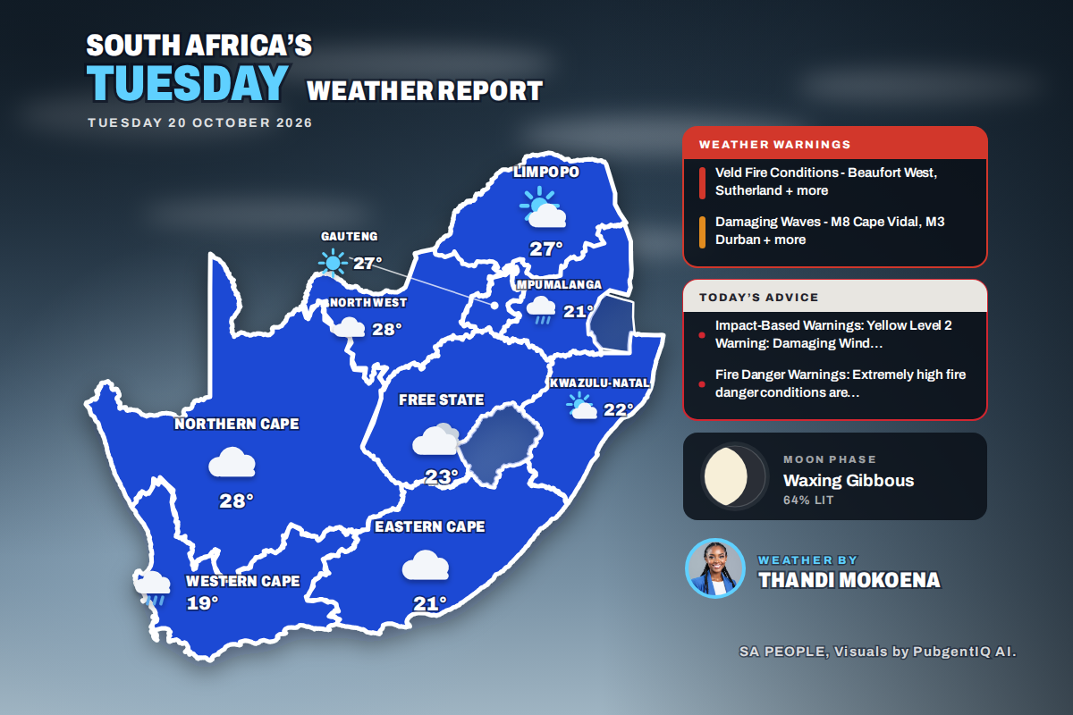 Here is today’s weather by province: Damaging waves expected along the KwaZulu-Natal coast today
Home » Here is today’s weather by province: Damaging waves expected along the KwaZulu-Natal coast today Mahikeng swings from a chilly 6°C at dawn to the country’s warmest reading of 28°C, while Cape Town tops out at…
- Sunny Sunday With Passing Clouds as Temperatures Stay Below Average
Cyprus will enjoy mainly sunny weather on Sunday, although periods of increased cloud cover are expected at times. Winds will be southwesterly to northwesterly, ranging from light to moderate at 3-4 Beaufort…
-
 Warmer weather, local showers forecast across Greece
Greece is forecast to see generally fair weather Sunday, with clouds increasing in some areas from midday, according to the National Meteorological Service. Isolated showers are possible in eastern Macedonia, Thrace and…
-
 Weather forecast for October 18, 2026: Northern Vietnam to experience hot weather before a cold front arrives.
Latest weather forecast news for today (October 18, 2026). Get the fastest and most accurate weather forecast updates on Nguoi Dua Tin. According to the National Center for Meteorological and Hydrological Forecasting…
-
 Thunderstorms and heavy rain forecast for 13 states, KL and Putrajaya until 5pm
PETALING JAYA: The Malaysian Meteorological Department (MetMalaysia) has issued a warning of thunderstorms, heavy rain and strong winds across 13 states and two Federal Territories, effective until 5pm on Saturday (Oct…
- Cloud, Showers and Gusty Winds Forecast Across Cyprus
A weak low-pressure system is affecting the island, while a weak high-pressure system is expected to move in from Sunday. According to the forecast, periods of increased cloud cover are expected throughout Saturday…
- Weather alert for winds in Lowcountry until Saturday evening
Hilton Head Island Packet The creation of this content included the use of AI based on templates created, reviewed and edited by journalists in the newsroom. Read more on our AI policy here. The NWS Charleston SC issued…
-
 Storm impacts begin to wind down in Southeast, but flooding and landslide risk still remains
Alaska's News Source ANCHORAGE, AK (Alaska’s News Source) - As of Friday morning, rain accumulations in some Southeast locations have climbed to over 4 inches in just 48 hours. More rain is ahead through today in…
-
 Rain, Storms and Falling Temperatures Sweep Across Greece
Why do two in three Greeks “hate” Athens? What does the Metron Analysis poll reveal about quality of life, stress and crime in the Attica region? A new spell of unsettled weather is moving across Greece, bringing…
-
 Flooding and landslide risk climbs in Southeast as rain and wind ramp up through Thursday
Alaska's News Source ANCHORAGE, AK (Alaska’s News Source) - An atmospheric river has set up camp over Southeast and is expected to bring the heaviest rainfall and strongest winds through Thursday. This storm is not only…
Sun & moon
Nearby
- Trier 27 km
- Luxembourg 28 km
- Thionville 54 km
- Esch-sur-Alzette 44 km
- Merzig 50 km
- Arlon 38 km
- Konz 25 km
- Dudelange 42 km
- Wittlich 46 km
- Losheim 49 km
- Wadern 54 km
- Beckingen 57 km
Forecasts, observations and alerts in the United States come from the National Weather Service (NOAA); radar from NOAA's Multi-Radar Multi-Sensor system; satellite imagery from NASA's Global Imagery Browse Services (GIBS) and NOAA's GOES satellites; the map from the U.S. Geological Survey's National Map; air quality from AirNow (EPA and its partners); hurricane information from the National Hurricane Center; climate normals and records from NOAA's Regional Climate Centers (ACIS). Forecasts outside the United States and the UV index: MET Norway (CC BY 4.0); observations outside the U.S.: airport reports via NOAA's Aviation Weather Center. Place names: GeoNames (CC BY 4.0). Data are copied on a schedule and may lag the sources; for warnings that affect your safety, follow your local National Weather Service office and emergency officials. Weather news is drawn from the 4Conservative index and reflects what the press published. Terms of use.