Install
Bsharri, North Lebanon, Lebanon Weather
Current conditions
Forecast for this hour (no station report in the last two hours)
Forecast
10-day-
Wednesday
Light showers. High 17°. Precipitation 3.1 mm for the day.
-
Wednesday Night
Fog. Low 11°. Precipitation 3.1 mm for the day.
-
Thursday
Light showers. High 18°. Precipitation 0.7 mm for the day.
MET Norway forecast updated 8 hrs ago.
Hourly
Hourly forecast- Now16°0.3
- 14:0017°0.2
- 15:0016°0.6
- 16:0015°0.9
- 17:0015°0.2
- 18:0014°
- 19:0014°
- 20:0014°
- 21:0014°
- 22:0013°
- 23:0012°
- Thu00:0012°
- 01:0012°
- 02:0012°
- 03:0013°
- 04:0013°
- 05:0013°
- 06:0013°
- 07:0013°
- 08:0015°
- 09:0016°
- 10:0017°
- 11:0018°
- 12:0018°0.2
Daily forecast
DetailsRadar
Full mapWeather news near Bsharri
More weather news-
 Weather Of The World: October 18
A view of the Garonne River at a historically low level due to a lack of rainfall, successive summer heat waves and the prefecture's low-water management policy in Toulouse, in southwestern France, on Oct. 14, 2026…
- Lebanon Braces for More Cold and Rainy Weather
MTV Lebanon Lebanon Braces for More Cold and Rainy Weather
- South Philadelphia Gets a Cold Sunday After Friday’s Storm Watch
South Philadelphia residents heading to the Eagles game at 1 p.m. Sunday should expect sunshine and temperatures in the 50s, with the 40s possible for morning tailgaters, FOX 29 Philadelphia reported. The chill follows…
-
 Saturday PM Forecast: October 17, 2026
WHIO TV Hundreds of people attend annual Halloween Festival in Fairborn New Early Voting data shows Democrats voting in higher numbers Area community to vote on Data Center ban as Amazon eyes farmland for project…
-
 69 News at 6:00 - Severe thunderstorm watches and GIANT disruption
Mostly cloudy with scattered thunderstorms (some with damaging wind gust potential) through early evening, then brisk and drier as it turns much cooler the rest of the night. . headline: Severe Thunderstorm Warning…
-
 Presidential adviser says Ukraine is in talks to lift speed limit on military satellite network
Mostly cloudy with scattered thunderstorms (some with damaging wind gust potential) through early evening, then brisk and drier as it turns much cooler the rest of the night. . Bulletin: SEVERE THUNDERSTORM WATCH 686…
-
 Community leaders say foiled Illinois mass shooting was result of surge in anti-Hindu hate online
Mostly cloudy with scattered thunderstorms (some with damaging wind gust potential) through early evening, then brisk and drier as it turns much cooler the rest of the night. . Bulletin: SEVERE THUNDERSTORM WATCH 686…
-
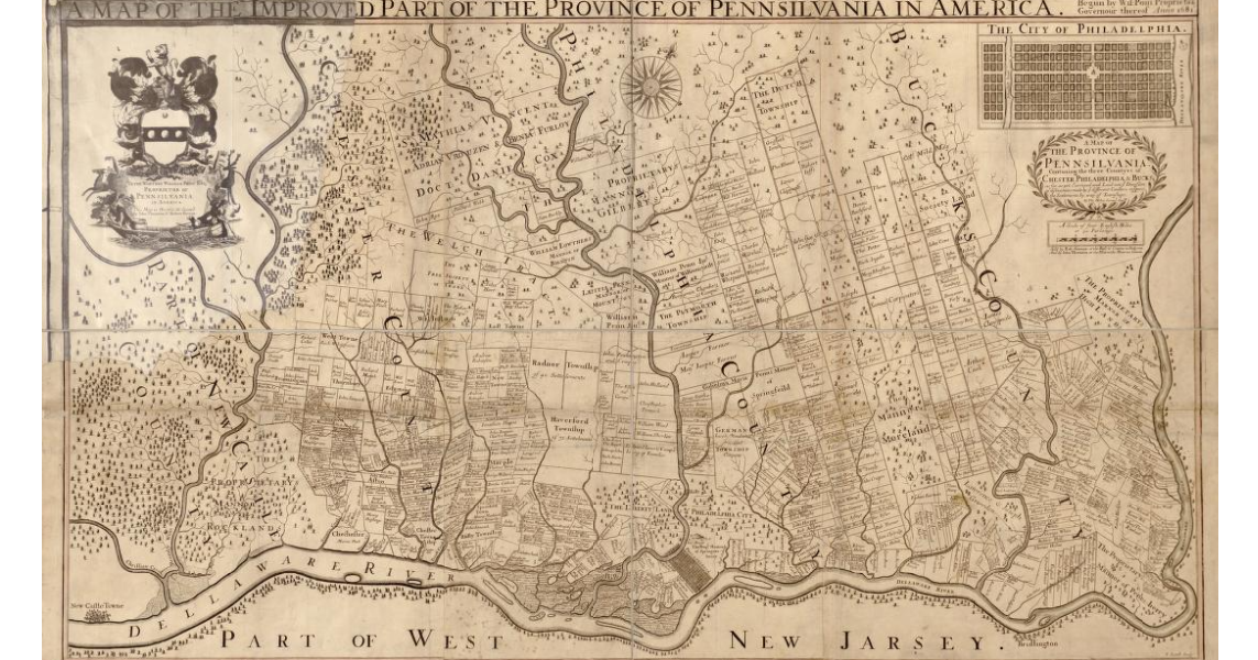 Early map of Pennsylvania from circa 1681
Mostly cloudy with some scattered evening showers; breezy and turning much cooler and less humid overnight. . Bulletin: SEVERE THUNDERSTORM WATCH 686 REMAINS VALID UNTIL 8 PM EDT THIS EVENING FOR THE FOLLOWING AREAS IN…
-
 Shapiro asks to intervene in PUC proceeding; consumer advocate office seeking to ensure data centers pay for some electric system costs
Mostly cloudy with scattered thunderstorms (some with damaging wind gust potential) through early evening, then brisk and drier as it turns much cooler the rest of the night. . Bulletin: SEVERE THUNDERSTORM WATCH 686…
-
 FIRST ALERT WEATHER: A drastic change is on the way
Good morning, and happy Thursday! Cloudy skies and a bit of rain are kicking off the day, though much of the rain has stayed in western Missouri, as expected. Scattered showers and a few thunderstorms are likely this…
Sun & moon
Nearby
Forecasts, observations and alerts in the United States come from the National Weather Service (NOAA); radar from NOAA's Multi-Radar Multi-Sensor system; satellite imagery from NASA's Global Imagery Browse Services (GIBS) and NOAA's GOES satellites; the map from the U.S. Geological Survey's National Map; air quality from AirNow (EPA and its partners); hurricane information from the National Hurricane Center; climate normals and records from NOAA's Regional Climate Centers (ACIS). Forecasts outside the United States and the UV index: MET Norway (CC BY 4.0); observations outside the U.S.: airport reports via NOAA's Aviation Weather Center. Place names: GeoNames (CC BY 4.0). Data are copied on a schedule and may lag the sources; for warnings that affect your safety, follow your local National Weather Service office and emergency officials. Weather news is drawn from the 4Conservative index and reflects what the press published. Terms of use.