Install
Mweiga, Nyeri County, Kenya Weather
Current conditions
Forecast for this hour (no station report in the last two hours)
Forecast
10-day-
Wednesday
Light rain. High 29°. Precipitation 0.7 mm for the day.
-
Wednesday Night
Light showers. Low 14°. Precipitation 0.7 mm for the day.
-
Thursday
Showers. High 30°. Precipitation 1.5 mm for the day.
MET Norway forecast updated 9 hrs ago.
Hourly
Hourly forecast- Now15°
- 03:0014°
- 04:0014°
- 05:0015°
- 06:0015°
- 07:0017°
- 08:0020°
- 09:0022°
- 10:0024°
- 11:0026°
- 12:0027°
- 13:0028°
- 14:0029°
- 15:0029°
- 16:0027°
- 17:0023°0.2
- 18:0020°0.2
- 19:0018°0.3
- 20:0018°
- 21:0018°
- 22:0017°
- 23:0017°
- Thu00:0016°
- 01:0016°
Daily forecast
DetailsRadar
Full mapWeather news in Kenya
More weather news-
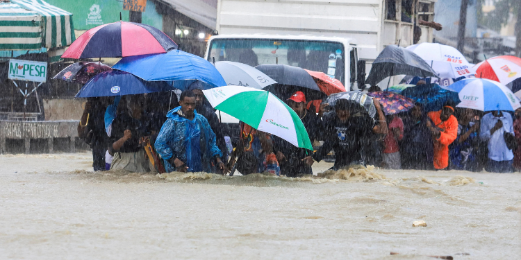 Weather Update: 44 Kenyan Counties to Receive Rain This Week
The Kenya Meteorological Service Authority (KMSA) has forecast rainfall in 44 counties across the country between Tuesday, October 20, and Monday, October 26, 2026, with some areas expected to experience afternoon…
-
 Kenya Met Warns of Rainfall in 28 Counties Including Bungoma Today, October 20
Amos Khaemba is a Current Affairs Editor at TUKO.co.ke, covering general news. Khaemba has over four years of journalism experience and joined TUKO.co.ke in 2022. Nairobi - The Kenya Meteorological Department has issued…
-
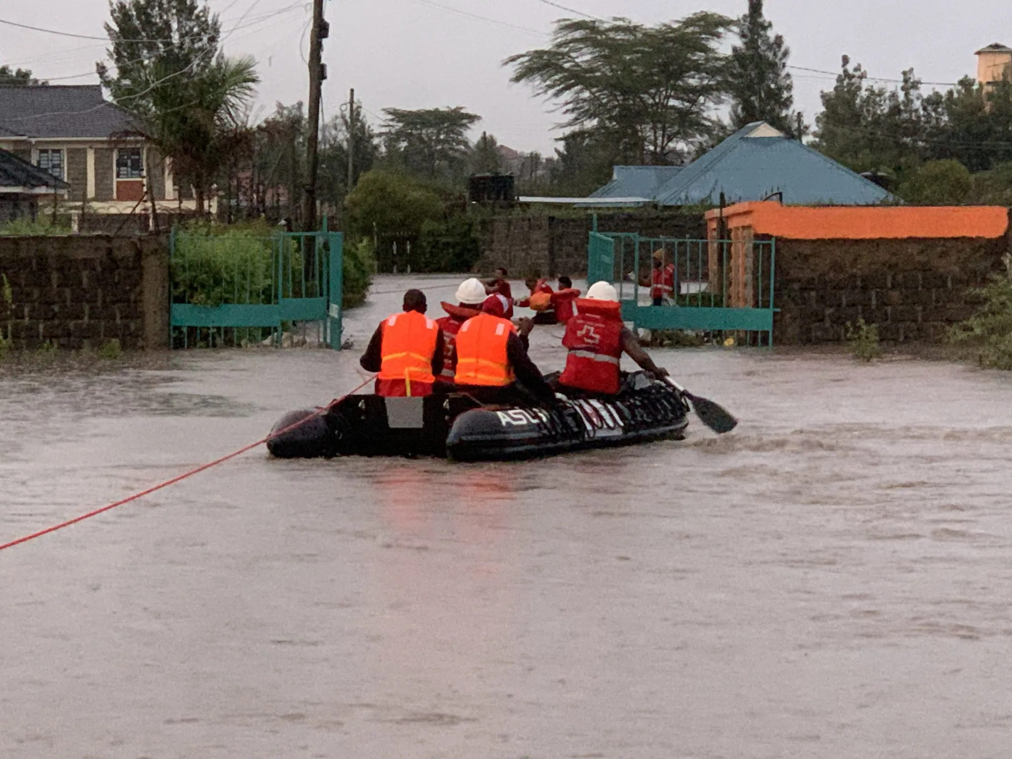 Kenya braces for El Niño rains as Met forecasts showers in 44 counties
NAIROBI, Kenya Oct 19 – Kenya is bracing for an increasingly wet October–December season, with the Kenya Meteorological Department forecasting rainfall across dozens of counties this week as the country prepares for the…
- A ‘super’ El Niño is impacting weather globally – here's how it could affect travel plans now and in the future
El Niño has officially arrived, and some forecasters are suggesting it could eventually develop into a rare “super” event capable of dramatically altering weather patterns across much of the planet, from the safari…
-
 NWS: Here's when Central Texas will finally cool down for the year
A cold front hit Texas last weekend, bringing a boon for those San Antonio temperatures that make fall feel more like summer part two. But when can residents in South Central Texas expect for the weather to actually…
-
 Kenya Met Predicts High Temperatures of 29°C in Nairobi, Rains and Thunderstorms in 5 Regions
Nairobi is expected to remain hot over the next five days, with Monday and Thursday next week forecast to reach highs of 29°C, according to the latest weather outlook. The Kenya Meteorological Service Authority (KMSA)…
- Kenya Meteorological Department Issues Rainfall and Storm Advisory for 40 Counties
The Kenya Meteorological Department (KMD) has issued a weather forecast predicting widespread rainfall across 40 counties nationwide for the week spanning October 16 to 23. In its weekly advisory released on Friday…
- Rain Expected Across Many Kenyan Counties This Week – Here’s What the Weather Service Says
Kenya, October 16, 2026 - Kenya is set for more rain over the next seven days. The Kenya Meteorological Service has released its weekly forecast for 16 to 23 October 2026. Rain is expected in many parts of the country…
-
 Kenya Met Predicts Rainfall With Isolated Storms in 40 Counties This Week
Kenya Met said that rainfall is expected over several parts of the country with isolated storms. The Kenya Meteorological Service Authority has issued a weather forecast predicting rainfall in 40 counties between…
-
 Rain to hit Nairobi and several counties as weather department issues 7-day forecast
The Kenya Meteorological Department has forecast rainfall across 40 counties between October 16 and October 23, 2026, with Nairobi among the areas expected to receive rain during the seven-day period. In its 7-day…
Sun & moon
Nearby
Forecasts, observations and alerts in the United States come from the National Weather Service (NOAA); radar from NOAA's Multi-Radar Multi-Sensor system; satellite imagery from NASA's Global Imagery Browse Services (GIBS) and NOAA's GOES satellites; the map from the U.S. Geological Survey's National Map; air quality from AirNow (EPA and its partners); hurricane information from the National Hurricane Center; climate normals and records from NOAA's Regional Climate Centers (ACIS). Forecasts outside the United States and the UV index: MET Norway (CC BY 4.0); observations outside the U.S.: airport reports via NOAA's Aviation Weather Center. Place names: GeoNames (CC BY 4.0). Data are copied on a schedule and may lag the sources; for warnings that affect your safety, follow your local National Weather Service office and emergency officials. Weather news is drawn from the 4Conservative index and reflects what the press published. Terms of use.