Install
Engineer, Nyandarua County, Kenya Weather
Current conditions
Forecast for this hour (no station report in the last two hours)
Forecast
10-day-
Wednesday
Heavy showers. High 20°. Precipitation 2.9 mm for the day.
-
Wednesday Night
Fog. Low 7°. Precipitation 2.9 mm for the day.
-
Thursday
Light showers. High 22°. Precipitation 0.3 mm for the day.
MET Norway forecast updated 19 hrs ago.
Hourly
Hourly forecast- Now19°0.7
- 12:0019°1.2
- 13:0019°0.4
- 14:0020°0.2
- 15:0019°
- 16:0019°
- 17:0019°
- 18:0016°
- 19:0013°
- 20:0012°
- 21:0012°
- 22:0012°
- 23:0012°
- Thu00:0012°
- 01:0012°
- 02:0012°
- 03:0011°
- 04:0010°
- 05:009°
- 06:008°
- 07:009°
- 08:0015°
- 09:0018°
- 10:0019°
Daily forecast
DetailsRadar
Full mapWeather news near Engineer
More weather news-
 Ghana Meteorological Agency warns of rain and thunderstorms today, October 18, lists affected areas
The Ghana Meteorological Agency (GMet) has released its weather forecast for Sunday, October 18, 2026, alerting Ghanaians to a mix of cloudy skies, sunshine and evening storms throughout the day. GMet's update indicates…
-
 Hail and thunderstorms hit various parts of Oman as rain clouds continue to build
MUSCAT : Local cloud formation has also begun over the Hajar Mountains, with conditions favourable for further expansion during the coming period. Scattered rainfall is expected across parts of the mountain range, with…
-
 Tropical cyclone trio stirs claims of weather manipulation online
" It is so painfully clear that the three hurricanes arriving at the same time are engineered," says an October 13, 2026 post on X. The post was responding to another that questioned the origin of Hurricane Isaias, the…
-
 Plugging the Competition
Statewide coverage that's surprisingly thorough The site has earned a lot of buzz, in part because it relies heavily on AI, and recently was featured in coverage by the Boston Globe, which revealed that the whole site…
- Record tornadoes, record temps, then maybe frost? Here are today’s top N&O stories
From a record-tying tornado outbreak to a $550 million federal rail investment, here’s a quick look at the stories making headlines from The News & Observer on Thursday, Oct. 15, 2026. Earlier-than-usual frost…
-
 North Dakota Department of Transportation Says All Hay Bales Must Be Off Highway Rights Of Way By End Of October
knoxradio (KNOX) – The North Dakota Department of Transportation says that hay bales must be removed from highway rights of way before the end of the month. State law requires hay bales to be out of all ditches by…
-
 Meteorologist Ahmet Köse explained one by one the causes of the downpour that hit Istanbul! Our ancestors called it the 'Virgin Mary Storm'.
Evaluating the downpour that flooded many homes and workplaces in Istanbul and uprooted trees, Ahmet Köse, Second Chairman of the Chamber of Meteorological Engineers, explained what happened by the warm water of the…
-
 Maryland State Highway planning snow plow trains for interstates
This winter, drivers on Washington County's interstates could see plow trains during snowstorms. In attempt to make the most of Maryland State Highway Administration's resources, including drivers and equipment, plow…
-
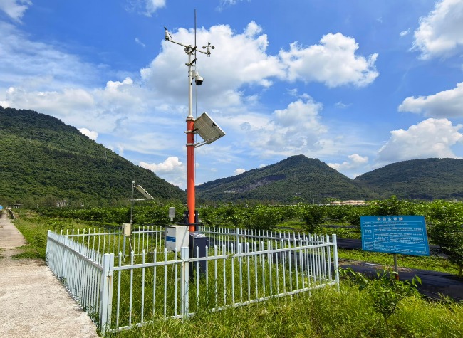 Chongqing Steps Up Weather Services as El Niño Strengthens Toward Year-End Peak
Chongqing - As a major inland city in southwest China, Chongqing is stepping up preparations for rising weather risks linked to a strengthening El Niño, expanding monitoring, AI-powered forecasting and cross-department…
- Raleigh Hits 91 Before Fierce Friday Night Cold Front
The National Weather Service calls for sunshine and a high of 91 Wednesday, with no rain in the forecast. That would beat Raleigh’s October 14 record high of 86 degrees set in 1985. Raleigh’s October 15 record is 88…
Sun & moon
Nearby
- Naivasha 20 km
- Limuru 57 km
- Nyeri 46 km
- Githunguri 55 km
- Gilgil 31 km
- Upper Gilgil 55 km
- Ol Kalou 43 km
- Tetu 42 km
- Mai 42 km
- Maai Mahiu 43 km
- Ol Kalau South Settlement 45 km
- Othaya 40 km
Forecasts, observations and alerts in the United States come from the National Weather Service (NOAA); radar from NOAA's Multi-Radar Multi-Sensor system; satellite imagery from NASA's Global Imagery Browse Services (GIBS) and NOAA's GOES satellites; the map from the U.S. Geological Survey's National Map; air quality from AirNow (EPA and its partners); hurricane information from the National Hurricane Center; climate normals and records from NOAA's Regional Climate Centers (ACIS). Forecasts outside the United States and the UV index: MET Norway (CC BY 4.0); observations outside the U.S.: airport reports via NOAA's Aviation Weather Center. Place names: GeoNames (CC BY 4.0). Data are copied on a schedule and may lag the sources; for warnings that affect your safety, follow your local National Weather Service office and emergency officials. Weather news is drawn from the 4Conservative index and reflects what the press published. Terms of use.