Install
Toyotomi, Hokkaido, Japan Weather
Current conditions
Forecast for this hour (no station report in the last two hours)
Forecast
10-day-
Saturday Night
Rain. Low 14°. Precipitation 1.5 mm for the day.
-
Sunday
Partly cloudy. High 13°. Precipitation 0.3 mm for the day.
-
Sunday Night
Light rain. Low 7°. Precipitation 0.3 mm for the day.
MET Norway forecast updated 3 hrs ago.
Hourly
Hourly forecast- Now14°
- 21:0014°
- 22:0014°0.5
- 23:0014°0.9
- Sun00:0013°0.2
- 01:0013°
- 02:0013°
- 03:0012°
- 04:0011°
- 05:0010°
- 06:009°
- 07:0010°
- 08:0012°
- 09:0012°
- 10:0013°
- 11:0013°
- 12:0012°
- 13:0012°
- 14:0011°
- 15:0010°
- 16:009°
- 17:009°
- 18:008°
- 19:009°
10-day forecast
Details- TonightOct 24Rain1.5 mm14°14°
- SunOct 25Partly cloudy7°13°
- MonOct 26Cloudy6°9°
- TueOct 27Heavy showers13.9 mm3°11°
- WedOct 28Sleet showers10.8 mm1°4°
- ThuOct 29Partly cloudy1°6°
- FriOct 30Light showers3.2 mm6°15°
- SatOct 31Showers9.6 mm1°14°
- SunNov 1Sleet showers5.0 mm1°3°
- MonNov 2Sleet showers2.1 mm-1°3°
Radar
Full mapWeather news in Japan
More weather news-
 Intense heat expected to continue in wide areas of Japan
Tokyo, Aug 8 The Japan Meteorological Agency (JMA) on Tuesday said that the scorching heat is expected to ... - Latest News. Find Breaking Headlines, Current and Latest international news at Lokmattimes.com - Intense…
-
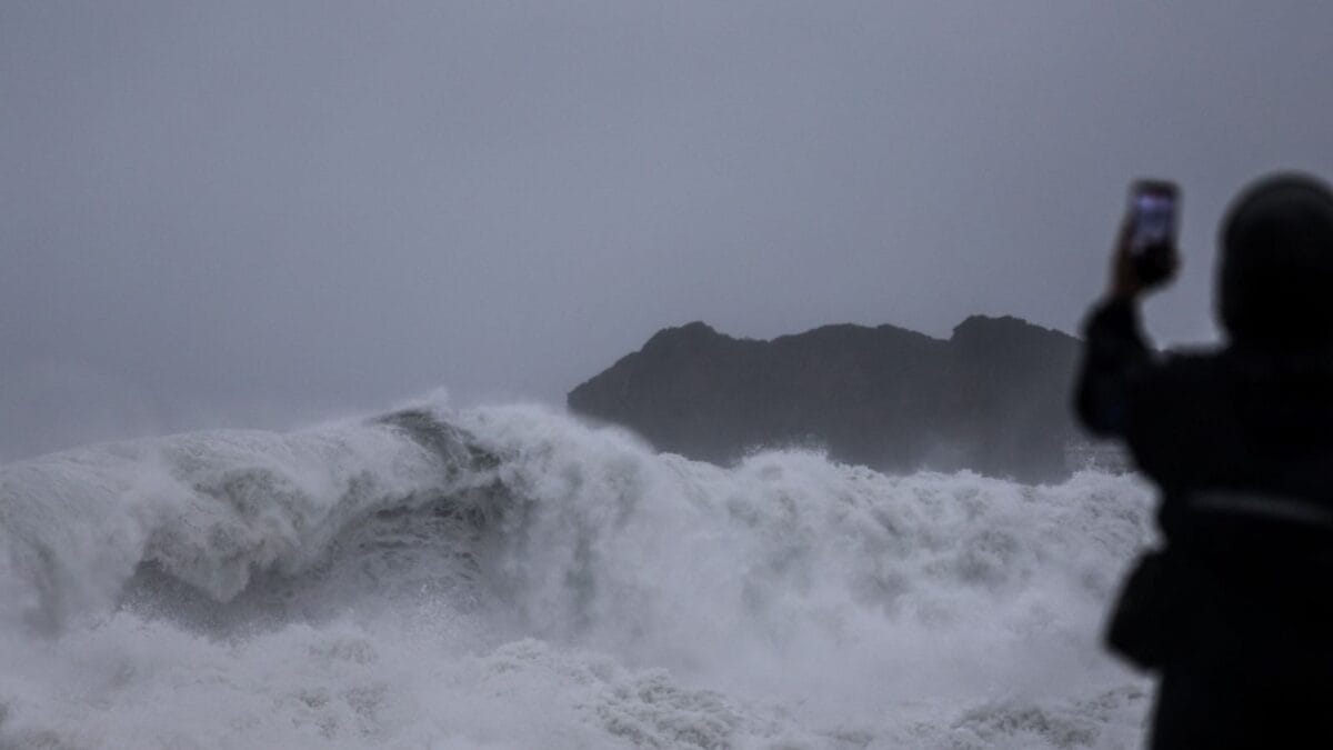 Typhoon Champi: Taiwan Braces For Powerful Winds And Heavy Rain As Storm Heads Towards China, Japan
Typhoon Champi, which developed over the Pacific Ocean, is passing close to Taiwan’s northeastern coast on October 23-24 before moving towards China and Japan. Although the storm has weakened from its earlier super…
- Typhoon Champi bears down on Taiwan and Japan after October 20 Category 5 peak
Typhoon Champi is forecast to bring very heavy rain to eastern Taiwan on October 23 before turning towards Japan, where heavy rain is expected on October 25–26, according to a weather outlook report. The storm is…
-
 Large, strong typhoon advancing toward southern Japan, moving to northwest
TOKYO - A large and very strong typhoon is moving in a northwesterly direction off Japan's southern islands, the weather agency said Friday, warning of possible torrential rainfall in the region. Typhoon Champi, the…
-
 Super Typhoon Champi, one of the strongest storms this year, will impact Taiwan, China and Japan
Super Typhoon Champi made a close pass to Guam, tied for strongest storm of the year, and will now affect Taiwan, China and Japan. Published Oct 19, 2026 12:22 PM EDT | Updated Oct 22, 2026 12:45 PM EDT Depending on the…
-
 Typhoon Champi traveling north of Okinawa islands
Large Typhoon Champi was traveling over waters north of the Sakishima Islands in Okinawa Prefecture on Saturday morning and was forecast to move north over the East China Sea through Sunday, according to the Japan…
-
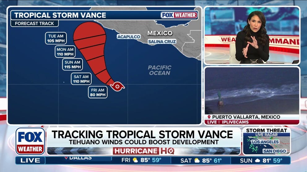 Tropical Storm Vance could intensify into a major hurricane, while Champi threatens Taiwan and Japan
Tropical Storm Vance is expected to strengthen into the 13th hurricane in the Pacific Basin this season as it approaches Mexico next week. Vance could intensify into a major hurricane, which would be the basin's 10th…
-
 BBC Audio | What in the World | Five ways El Niño is affecting weather around the world
El Niño has been strengthening for several months now and is already having a significant impact on global weather patterns. Countries including Indonesia, India and the United States have been experiencing droughts…
-
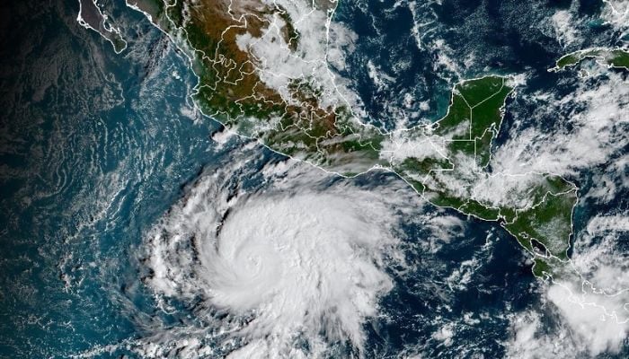 Tropical cyclone Vance to rapidly intensify into major hurricane as it nears Mexico
Published October 23, 2026 Hurricane Vance strengthened into a hurricane early Friday, October 23, and is forecast to rapidly intensify into a major Category 3 storm by Friday night as it approaches Mexico’s Pacific…
-
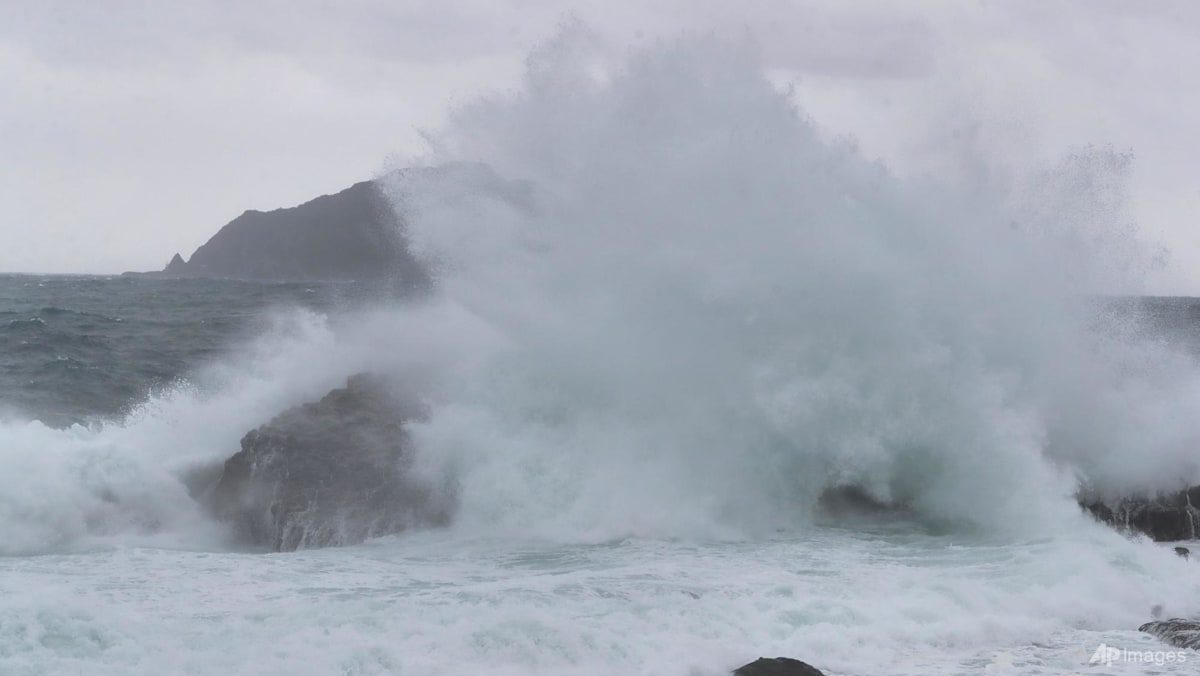 Taiwan shuts down ahead of Typhoon Champi, hundreds of flights cancelled
TAIPEI: Almost all of Taiwan shut down on Friday (Oct 23) ahead of the arrival of Typhoon Champi, which is forecast to bring strong winds and torrential rain, though the storm is weakening and is not expected to make…
Sun & moon
Nearby
- Wakkanai 35 km
- Makubetsu 30 km
- Hamatonbetsu 48 km
- Teshio 25 km
- Kanaura 44 km
- Rishiri Town 46 km
- Karibetsu 32 km
- Oshidomari 47 km
- Horonobe 11 km
Forecasts, observations and alerts in the United States come from the National Weather Service (NOAA); radar from NOAA's Multi-Radar Multi-Sensor system; satellite imagery from NASA's Global Imagery Browse Services (GIBS) and NOAA's GOES satellites; the map from the U.S. Geological Survey's National Map; air quality from AirNow (EPA and its partners); hurricane information from the National Hurricane Center; climate normals and records from NOAA's Regional Climate Centers (ACIS). Forecasts outside the United States and the UV index: MET Norway (CC BY 4.0); observations outside the U.S.: airport reports via NOAA's Aviation Weather Center. Place names: GeoNames (CC BY 4.0). Data are copied on a schedule and may lag the sources; for warnings that affect your safety, follow your local National Weather Service office and emergency officials. Weather news is drawn from the 4Conservative index and reflects what the press published. Terms of use.