Install
Toyota, Aichi, Japan Weather
Current conditions
Forecast for this hour (no station report in the last two hours)
Forecast
10-day-
Thursday
Partly cloudy. High 21°.
-
Thursday Night
Partly cloudy. Low 14°.
-
Friday
Cloudy. High 21°. Precipitation 0.3 mm for the day.
MET Norway forecast updated 10 hrs ago.
Hourly
Hourly forecast- Now18°
- 05:0017°
- 06:0017°
- 07:0017°
- 08:0018°
- 09:0019°
- 10:0020°
- 11:0021°
- 12:0020°
- 13:0020°
- 14:0021°
- 15:0021°
- 16:0020°
- 17:0018°
- 18:0017°
- 19:0016°
- 20:0015°
- 21:0014°
- 22:0014°
- 23:0014°
- Fri00:0014°
- 01:0014°
- 02:0014°
- 03:0014°
Daily forecast
DetailsRadar
Full mapWeather news near Toyota
More weather news- Storm Team 10: A Typical October Weekend
WTHI-TV Saturday will begin with a cloudy sky, but the clouds will gradually give way to sunshine. Highs in the upper 50s. Saturday night will be clear and cold, with widespread frost developing. Low in the low 30s…
-
 Color The Weather 10-16-26
WTVY (WTVY) - Color The Weather 10-16-26 Download the WTVY News4 app to get alerts and stories the moment they are published. Available for FREE in the Apple App Store and the Google Play Store! Friday Night Football…
-
 Cold Front Alert: A weekend cold front will bring cool and breezy conditions to Central Florida.
WKMG Cold Front Alert: A weekend cold front will bring cool and breezy conditions to Central Florida. Ex-US Sen. Mel Martinez, a Republican, endorses Democrat Bale Dalton in House District 7 race MICHELLE PARKER CASE…
-
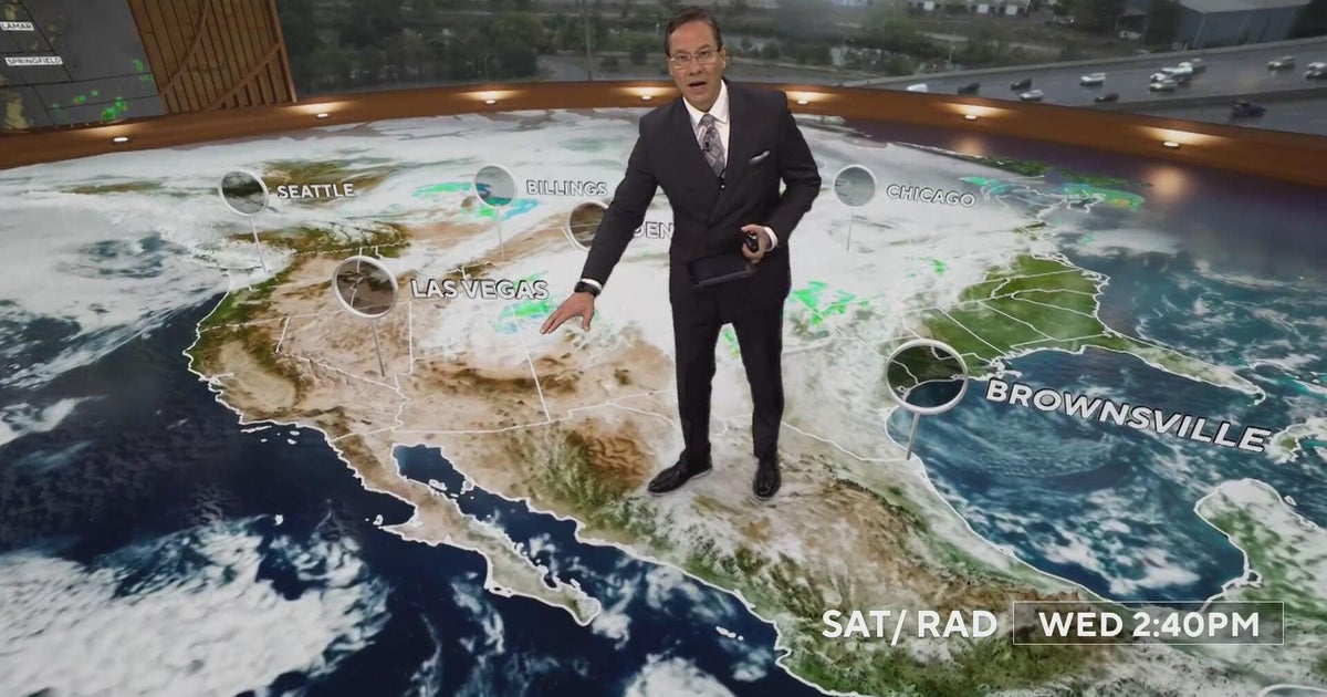 More rain and snow into Thursday morning with Denver's first freeze on the way
CBS News More rain and snow into Thursday morning with Denver's first freeze on the way Proposition 134 & 135 address rights of transgender teens in Colorado Republican Ken Buck endorses Democrat Phil Weiser for…
-
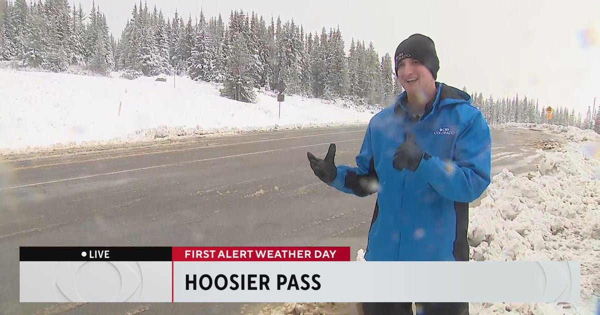 Wintery weather comes to the Colorado High Country
CBS News Wintery weather comes to the Colorado High Country Aurora Water managers welcome rain, but more importantly snow in the mountains 20th anniversary production of "Jersey Boys" headed to Denver Colorado nonprofit…
-
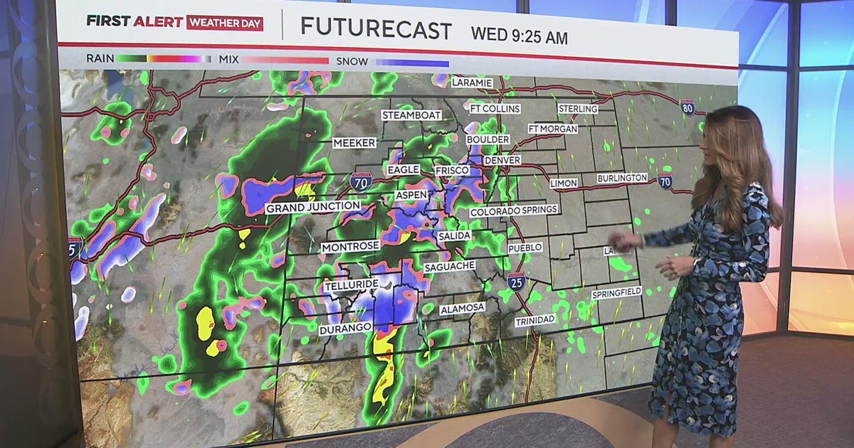 Measurable rain for the Denver metro, with some heavy snow in the mountains
CBS News Measurable rain for the Denver metro, with some heavy snow in the mountains Medina Alert issued for blue 2010 Toyota Prius after driver strikes pedestrian, leaves scene Man accused of shooting teen suspected of…
-
 Japan prepares for 30th named storm of 2026 as Typhoon Champi approaches Okinawa
Typhoon Champi is forecast to reach Okinawa’s Sakishima Islands between Friday and Saturday, then affect parts of Kyushu from the weekend. Authorities are urging people to stay alert as Typhoon Champi moves from the…
-
 Japan braces for 30th named storm this year as Typhoon Champi heads for Okinawa
Typhoon Champi is moving in from the Pacific Ocean toward Okinawa Prefecture and the south of the country in the coming days, prompting authorities to urge people to be on alert. The Japan Meteorological Agency (JMA)…
-
 Super Typhoon Champi spares Taiwan direct hit, brings heavy rain to Japan and Philippines
Wed, Oct 21, 2026 | Jumada al-Awwal 9, 1448 | Fajr 05:02|DXB 31.8°C Super Typhoon Champi, the most powerful storm so far this year, with peak winds of 296 kph (the equivalent of a Category 5 storm) on Wednesday morning…
- Temperature reaches 30°C in central Tokyo – latest ‘midsummer day’ on record since 1875 - Japan Today
Temperature reaches 30°C in central Tokyo – latest ‘midsummer day’ on record since 1875 Japan Today Powered and protected by
Sun & moon
Nearby
Forecasts, observations and alerts in the United States come from the National Weather Service (NOAA); radar from NOAA's Multi-Radar Multi-Sensor system; satellite imagery from NASA's Global Imagery Browse Services (GIBS) and NOAA's GOES satellites; the map from the U.S. Geological Survey's National Map; air quality from AirNow (EPA and its partners); hurricane information from the National Hurricane Center; climate normals and records from NOAA's Regional Climate Centers (ACIS). Forecasts outside the United States and the UV index: MET Norway (CC BY 4.0); observations outside the U.S.: airport reports via NOAA's Aviation Weather Center. Place names: GeoNames (CC BY 4.0). Data are copied on a schedule and may lag the sources; for warnings that affect your safety, follow your local National Weather Service office and emergency officials. Weather news is drawn from the 4Conservative index and reflects what the press published. Terms of use.