Install
Misato, Saitama, Saitama, Japan Weather
Current conditions
Observed at Tokyo/Haneda Intl · 12 min ago
Forecast
10-day-
Monday
Heavy rain. High 19°. Precipitation 20.0 mm for the day.
-
Monday Night
Heavy rain. Low 15°. Precipitation 20.0 mm for the day.
-
Tuesday
Light rain. High 23°. Precipitation 3.8 mm for the day.
MET Norway forecast updated 1 day ago.
Hourly
Hourly forecast- Now18°0.3
- 08:0018°
- 09:0019°0.4
- 10:0018°0.9
- 11:0018°1.4
- 12:0018°1.4
- 13:0017°1.1
- 14:0017°1.2
- 15:0017°1.2
- 16:0016°1.2
- 17:0016°2.0
- 18:0016°2.1
- 19:0015°1.0
- 20:0015°0.8
- 21:0015°1.3
- 22:0015°1.8
- 23:0015°1.4
- Tue00:0015°0.9
- 01:0016°0.6
- 02:0015°0.2
- 03:0016°
- 04:0016°
- 05:0016°0.2
- 06:0016°
Daily forecast
DetailsRadar
Full mapWeather news in Japan
More weather news-
 Global warming likely linked to heavy rain in Japan
Japan's Meteorological Research Institute says its analysis has shown it is highly likely that global warming increased the amount of precipitation in parts of the country by about 20 percent, bringing record heavy…
-
 Tropical storm Champi bringing heavy rain to western Japan
Tropical storm Champi is moving northeast over the East China Sea. Atmospheric conditions are very unstable in western and eastern Japan, as warm and damp air around the storm flows into a front stretching near the main…
-
 Severe storm Champi approaching western Japan
Severe tropical storm Champi is expected to veer eastward on Sunday afternoon before approaching western Japan. As of 6 p.m. on Saturday, the storm was located around Okinawa Prefecture, southwest of Japan's main…
-
 Intense heat expected to continue in wide areas of Japan
Tokyo, Aug 8 The Japan Meteorological Agency (JMA) on Tuesday said that the scorching heat is expected to ... - Latest News. Find Breaking Headlines, Current and Latest international news at Lokmattimes.com - Intense…
-
 Talking the Tropics w/Mike: Low pressure to form east of Florida next week
104.5 WOKV The Atlantic hurricane season is June 1st through Nov. 30th. The peak of the season is September 10th. Strong wind shear has dominated much of the Atlantic Basin - especially south of about 20 degrees N. This…
-
 UK clocks go back today: New time difference with Kenya and what travellers should know
Travellers between Kenya and the United Kingdom will need to adjust to a new time difference from Sunday, October 25, 2026, when the UK turns its clocks back by one hour and ends daylight saving time. The change means…
-
 Typhoon Champi traveling north of Okinawa islands
Large Typhoon Champi was traveling over waters north of the Sakishima Islands in Okinawa Prefecture on Saturday morning and was forecast to move north over the East China Sea through Sunday, according to the Japan…
-
 Powerful Hurricane Vance slowly approaches Mexico as Typhoon Champi leaves 500+ injured in Taiwan
Vance strengthened into a hurricane early Friday, becoming the 13th hurricane in the Pacific Basin this season. Earlier this week, Champi in the western Pacific tied Super Typhoon Sinlaku as the strongest storm on Earth…
-
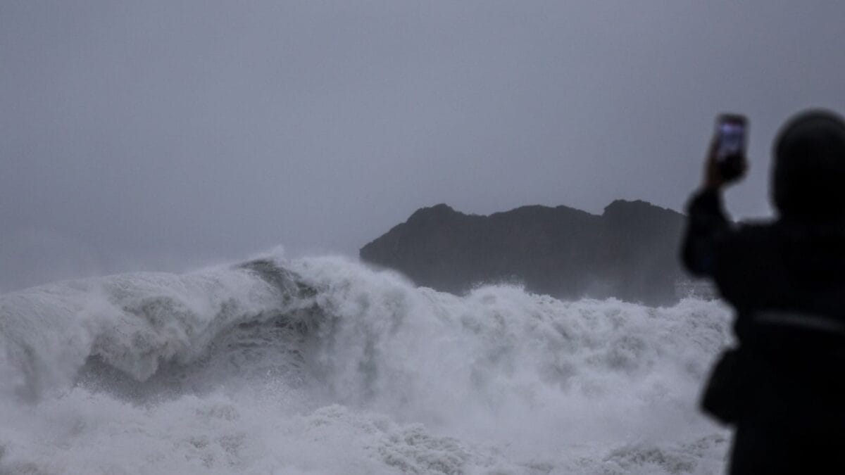 Typhoon Champi: Taiwan Braces For Powerful Winds And Heavy Rain As Storm Heads Towards China, Japan
Typhoon Champi, which developed over the Pacific Ocean, is passing close to Taiwan’s northeastern coast on October 23-24 before moving towards China and Japan. Although the storm has weakened from its earlier super…
Sun & moon
Nearby
Forecasts, observations and alerts in the United States come from the National Weather Service (NOAA); radar from NOAA's Multi-Radar Multi-Sensor system; satellite imagery from NASA's Global Imagery Browse Services (GIBS) and NOAA's GOES satellites; the map from the U.S. Geological Survey's National Map; air quality from AirNow (EPA and its partners); hurricane information from the National Hurricane Center; climate normals and records from NOAA's Regional Climate Centers (ACIS). Forecasts outside the United States and the UV index: MET Norway (CC BY 4.0); observations outside the U.S.: airport reports via NOAA's Aviation Weather Center. Place names: GeoNames (CC BY 4.0). Data are copied on a schedule and may lag the sources; for warnings that affect your safety, follow your local National Weather Service office and emergency officials. Weather news is drawn from the 4Conservative index and reflects what the press published. Terms of use. How to use Weather