Install
Borgarnes, West, Iceland Weather
Current conditions
Forecast for this hour (no station report in the last two hours)
Forecast
10-day-
Tuesday
Light showers. High 5°. Precipitation 1.1 mm for the day.
-
Tuesday Night
Light sleet showers. Low -1°. Precipitation 1.1 mm for the day.
-
Wednesday
Fog. High 2°. Precipitation 0.3 mm for the day.
MET Norway forecast updated 6 hrs ago.
Hourly
Hourly forecast- Now3°0.2
- 17:002°
- 18:001°0.2
- 19:000°0.2
- 20:00-0°
- 21:00-1°
- 22:00-1°
- 23:00-1°
- Wed00:00-2°
- 01:00-2°
- 02:00-2°
- 03:00-2°
- 04:00-2°
- 05:00-2°
- 06:00-2°
- 07:00-2°
- 08:00-2°
- 09:00-2°
- 10:00-2°
- 11:00-0°
- 12:001°
- 13:002°
- 14:002°
- 15:002°
Daily forecast
DetailsRadar
Full mapWeather news in Iceland
More weather news-
 Landslide Warnings Add to Sunday Travel Risks in Northwest Iceland
Landslide warnings are in force for the northern and southern Westfjords and Strandir until 07:00 on Monday, October 19, as rain and snowmelt increase the risk of slides and rockfalls reaching roads. The Icelandic Met…
-
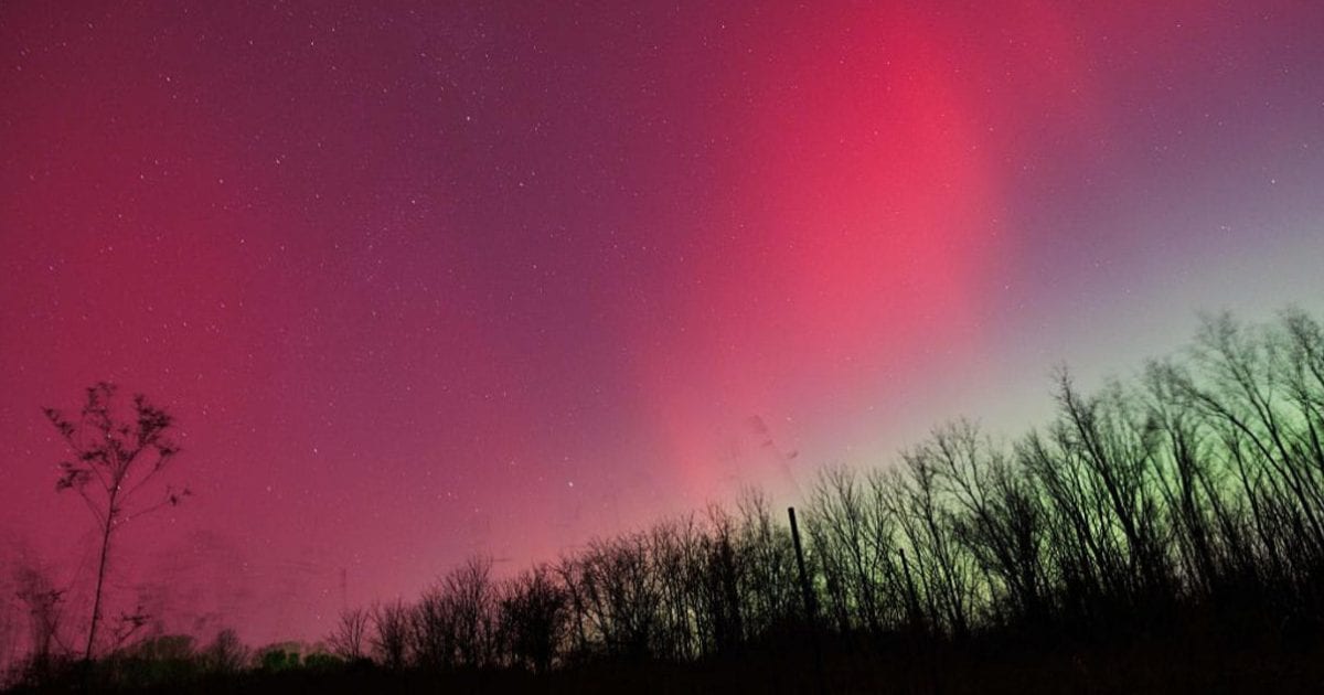 Aurora forecast: Solar wind could spark northern lights in Maine and other U.S. states on October 19-20
Residents of many of the northern U.S. states, from Washington to Maine, could get a chance to see auroras around midnight. Aurora forecast: Solar wind could spark northern lights in Maine and other U.S. states on…
-
 Weekend Storms Forecast as Iceland Issues New Weather Warnings
Storms are forecast across much of Iceland this weekend, with southerly and southeasterly winds reaching 15–25 m/s on Saturday afternoon, October 17, according to the Icelandic Met Office. The forecast issued at 03:24…
-
 Rapidly intensifying midlatitude cyclone passes over Iceland
EUMETSAT Meteosat-11 Water Vapor images (above) showed a warming/drying signature (shades of yellow to orange) within the core of a rapidly-intensifying midlatitude cyclone that eventually passed over Iceland on 14…
-
 UK weather: Temperatures set to rise as high as 23C with late summer air swarming through parts of Britain
Parts of eastern England could see temperatures rise as much as 8C above the mid-October average GB News weather forecast - October 15 Britain is forecast to enjoy temperatures of up to 23C today, before colder air…
-
 UK temperatures to rise to 23C before autumn chill sets in
Leaves littered the ground in Liverpool's Clarkes Gardens on Tuesday as autumnal colours set in across the UK Thursday will bring unusually high temperatures as warm air wafts across the south of the UK, while colder…
-
 Ferries cancelled and disrupted as strong gales and rain hit Scotland
More than a dozen ferry routes have been cancelled for the rest of the day as strong gales and heavy rain hit Scotland. A Met Office yellow warning covers parts of the Highlands and Western Isles until 19:00 with the…
-
 Met Office names where heavy snow to hit in October - blizzard conditions
The Met Office has named the European country that could see heavy snow and blizzard conditions in October as the weather pattern across the North Atlantic faces a "remarkable transformation." The weather agency…
-
 Forecast worsens: More regions placed under orange weather warnings
The Icelandic Meteorological Office has updated its weather warnings for today, adding South Iceland and Breiðafjörður to the regions under orange weather warnings. Orange warnings had previously been issued for the…
- Deep low approaching Iceland, bringing gales, rain and blizzard conditions
Winds have been mainly light and southerly across Iceland today, with showers or light rain in most regions. At the time of writing, the highest temperatures recorded today are 11.2°C in Bolungarvík and 10.5°C at…
Sun & moon
Nearby
- Reykjavík 47 km
- Kópavogur 50 km
- Hafnarfjörður 55 km
- Mosfellsbær 45 km
- Garðabær 53 km
- Akranes 28 km
- Seltjarnarnes 46 km
- Álftanes 52 km
Forecasts, observations and alerts in the United States come from the National Weather Service (NOAA); radar from NOAA's Multi-Radar Multi-Sensor system; satellite imagery from NASA's Global Imagery Browse Services (GIBS) and NOAA's GOES satellites; the map from the U.S. Geological Survey's National Map; air quality from AirNow (EPA and its partners); hurricane information from the National Hurricane Center; climate normals and records from NOAA's Regional Climate Centers (ACIS). Forecasts outside the United States and the UV index: MET Norway (CC BY 4.0); observations outside the U.S.: airport reports via NOAA's Aviation Weather Center. Place names: GeoNames (CC BY 4.0). Data are copied on a schedule and may lag the sources; for warnings that affect your safety, follow your local National Weather Service office and emergency officials. Weather news is drawn from the 4Conservative index and reflects what the press published. Terms of use.