Install
Khān Bebīn, Golestan, Iran Weather
Current conditions
Forecast for this hour (no station report in the last two hours)
Forecast
10-day-
Wednesday
Light showers. High 27°. Precipitation 0.3 mm for the day.
-
Wednesday Night
Fog. Low 19°. Precipitation 0.3 mm for the day.
-
Thursday
Partly cloudy. High 27°.
MET Norway forecast updated 11 hrs ago.
Hourly
Hourly forecast- Now21°
- 03:3021°
- 04:3022°
- 05:3022°
- 06:3021°
- 07:3022°
- 08:3023°
- 09:3024°
- 10:3025°
- 11:3026°
- 12:3027°
- 13:3027°
- 14:3027°
- 15:3026°0.2
- 16:3025°
- 17:3023°
- 18:3022°
- 19:3022°
- 20:3021°
- 21:3021°
- 22:3020°
- 23:3019°
- Thu00:3018°
- 01:3017°
Daily forecast
DetailsRadar
Full mapWeather news in Iran
More weather news-
 Heavy rain and flash flooding possible in New Mexico, southwest Colorado this week
A strong storm system will bring widespread rain to New Mexico and southwest Colorado Wednesday through Friday. Heavy rainfall could lead to flash flooding, especially Thursday and Friday. Several inches of rain are…
-
 Summer recap: The Big Country’s summer of relentless triple-digit heat
BIG COUNTRY, Texas (KTAB/KRBC) – The summer of 2026 is one the Big Country won't soon forget, thanks to relentless heat that baked the region, especially from August through mid-September. Abilene recorded its first…
-
 UAE weather tomorrow: More rains expected in some areas; foggy conditions likely
Mon, Oct 19, 2026 | Jumada al-Awwal 7, 1448 | Fajr 05:02|DXB 30.9°C Residents across the UAE can expect more rain on Tuesday, October 20, as convective clouds develop over eastern areas and extend to some inland and…
-
 NWS: Here's when Central Texas will finally cool down for the year
A cold front hit Texas last weekend, bringing a boon for those San Antonio temperatures that make fall feel more like summer part two. But when can residents in South Central Texas expect for the weather to actually…
- UAE weather tomorrow: Rains expected in some areas; humid conditions by night
Sun, Oct 18, 2026 | Jumada al-Awwal 6, 1448 | Fajr 05:01|DXB 31.7°C The weather on Monday, October 19, is expected to be fair to partly cloudy, with rains expected across some areas of the country, according to a…
-
 Fresh Snowfall At Zojila Pass In Photos: Tourists Enjoy Snow, Army Keeps Vigil
Outlook India Fresh snowfall near Zojila Pass along the Srinagar-Leh National Highway draws tourists to the snow-covered landscape, as Army personnel maintain a vigil in Jammu and Kashmir CBI Questions Ex-BJP MLA Suresh…
-
 UAE says flights may be impacted by weather fluctuations, low visibility
Sat, Oct 17, 2026 | Jumada al-Awwal 5, 1448 | Fajr 05:01|DXB 31.9°C The General Civil Aviation Authority has said that fluctuations in weather conditions may impact flight travel. The fluctuations in weather conditions…
-
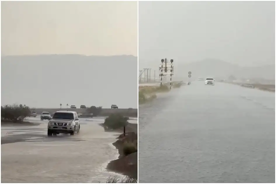 Watch: Heavy rains hit Al Ain; some roads waterlogged as Abu Dhabi Police issue advisory
Fri, Oct 16, 2026 | Jumada al-Awwal 4, 1448 | Fajr 05:00|DXB 31.5°C Parts of the UAE saw more rain on Friday, October 16, as dark clouds gathered over Al Ain and thunder rumbled across Malaqta, where rainfall brought…
-
 A cold front is coming to Tampa Bay this weekend, dropping lows into the 60s
A blast of cold air sweeping across the eastern United States will stretch just far south enough to cool down Tampa Bay this weekend and into next week. Northern parts of the country will be far colder than Tampa Bay…
- UAE weather tomorrow: Rains likely; Abu Dhabi, Dubai temperatures to hit 37ºC
Fri, Oct 16, 2026 | Jumada al-Awwal 4, 1448 | Fajr 05:00|DXB 31.4°C UAE residents can expect a chance of rain on Saturday, October 17, as temperatures climb to 41°C in some parts of the country, according to the…
Sun & moon
Nearby
Forecasts, observations and alerts in the United States come from the National Weather Service (NOAA); radar from NOAA's Multi-Radar Multi-Sensor system; satellite imagery from NASA's Global Imagery Browse Services (GIBS) and NOAA's GOES satellites; the map from the U.S. Geological Survey's National Map; air quality from AirNow (EPA and its partners); hurricane information from the National Hurricane Center; climate normals and records from NOAA's Regional Climate Centers (ACIS). Forecasts outside the United States and the UV index: MET Norway (CC BY 4.0); observations outside the U.S.: airport reports via NOAA's Aviation Weather Center. Place names: GeoNames (CC BY 4.0). Data are copied on a schedule and may lag the sources; for warnings that affect your safety, follow your local National Weather Service office and emergency officials. Weather news is drawn from the 4Conservative index and reflects what the press published. Terms of use.