Install
Visakhapatnam, Andhra Pradesh, India Weather
Current conditions
Forecast for this hour (no station report in the last two hours)
Forecast
10-day-
Sunday
Partly cloudy. High 32°.
-
Sunday Night
Cloudy. Low 24°.
-
Monday
Cloudy. High 32°.
MET Norway forecast updated 1 day ago.
Hourly
Hourly forecast- Now25°
- 02:3025°
- 03:3024°
- 04:3024°
- 05:3024°
- 06:3024°
- 07:3026°
- 08:3028°
- 09:3030°
- 10:3031°
- 11:3032°
- 12:3032°
- 13:3032°
- 14:3032°
- 15:3031°
- 16:3029°
Daily forecast
DetailsRadar
Full mapWeather news near Visakhapatnam
More weather news-
 Orange alert for Kakinada, Konaseema as thunderstorms forecast; low-pressure area likely over Bay of Bengal
Published - October 22, 2026 09:52 am IST - VISAKHAPATNAM The Cyclone Warning Centre (CWC), Visakhapatnam, issued an orange alert for Kakinada and Dr. B.R. Ambedkar Konaseema districts in Andhra Pradesh and Yanam…
-
 Low Pressure To Likely Form In Bay Of Bengal, May Turn Into Cyclone After Oct 25; Rain For Andhra, Odisha
A developing weather system over the Bay of Bengal has drawn the attention of meteorologists, with the India Meteorological Department (IMD) forecasting the formation of a low-pressure area around October 23. While…
-
 Heavy rain in Tirupati as low pressure area forms off Tamil Nadu coast
Published - October 21, 2026 10:27 pm IST - VISAKHAPATNAM Tirupati district received heavy rain in the 24 hours ending 8:30 a.m. on Wednesday, with Tada recording 109.8 mm, Satyavedu 85.4 mm and Tirupati Aero 76.4 mm…
- Heavy rainfall alert issued for Odisha districts ahead of potential super cyclone development - Prameya News
Heavy rainfall alert issued for Odisha districts ahead of potential super cyclone development prameyanews.com Heavy rainfall alert issued for Odisha districts ahead of potential super cyclone development Severe weather…
- Severe cyclonic storm brewing over Bay of Bengal puts coastal Odisha and Andhra Pradesh on high alert - Prameya News
Severe cyclonic storm brewing over Bay of Bengal puts coastal Odisha and Andhra Pradesh on high alert prameyanews.com Severe cyclonic storm brewing over Bay of Bengal puts coastal Odisha and Andhra Pradesh on high alert…
-
 Andhra Pradesh, Telangana Latest Weather Update: Cyclone Warning Issued, Heavy Rains Likely
The Meteorological Department has issued a fresh warning for the Telugu states. A cyclonic circulation currently lies over the Southwest Bay of Bengal off the North Tamil Nadu coast. It extends up to 5.8 kilometres…
-
 Rains To Continue Over Coastal AP, Rayalaseema
Visakhapatnam: Rains will continue over coastal Andhra Pradesh and Rayalaseema till Wednesday, October 21, IMD Amaravati said in its bulletin on Monday. As per the report, the upper air cyclonic circulation over…
-
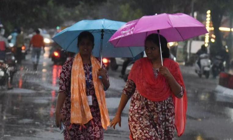 Rain May Mar Poll Campaign, Dasara Festival
Isolated heavy rainfall forecast till October 21 might affect the local, rural and urban body election: Reports VISAKHAPATNAM: Isolated heavy rainfall forecast till October 21 might affect the local, rural and urban…
-
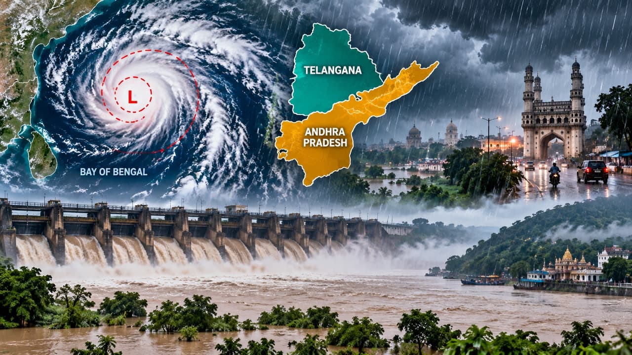 AP, Telangana Weather Alert: Heavy Rains, Gusty Winds to Lash THESE Districts 3 Days, Check Forecast
The weather in the Telugu states has changed suddenly. A cyclonic circulation over North Tamil Nadu and South Coastal Andhra, along with a trough stretching to the Northwest Bay of Bengal, has triggered this massive…
- Isolated heavy rain likely in parts of A.P. amid 79% deficit in October
Published - October 16, 2026 08:24 pm IST - VISAKHAPATNAM Rain or thunderstorms are likely at a few places across Andhra Pradesh and Yanam till October 19, bringing some respite to the State which has received about a…
Sun & moon
Nearby
- Rasapūdipalem 13 km
- Gajuwaka 3 km
- Vizianagaram 53 km
- Anakapalle 21 km
- Bhīmunipatnam 35 km
- Chodavaram 33 km
- Elamanchili 39 km
- Vepagunta 11 km
- Nellimarla 59 km
- Mādugula 49 km
- Kottavalasa 23 km
- Etikoppāka 54 km
Forecasts, observations and alerts in the United States come from the National Weather Service (NOAA); radar from NOAA's Multi-Radar Multi-Sensor system; satellite imagery from NASA's Global Imagery Browse Services (GIBS) and NOAA's GOES satellites; the map from the U.S. Geological Survey's National Map; air quality from AirNow (EPA and its partners); hurricane information from the National Hurricane Center; climate normals and records from NOAA's Regional Climate Centers (ACIS). Forecasts outside the United States and the UV index: MET Norway (CC BY 4.0); observations outside the U.S.: airport reports via NOAA's Aviation Weather Center. Place names: GeoNames (CC BY 4.0). Data are copied on a schedule and may lag the sources; for warnings that affect your safety, follow your local National Weather Service office and emergency officials. Weather news is drawn from the 4Conservative index and reflects what the press published. Terms of use.