Install
Pallichal, Kerala, India Weather
Current conditions
Forecast for this hour (no station report in the last two hours)
Forecast
10-day-
Wednesday
Heavy rain. High 30°. Precipitation 29.9 mm for the day.
-
Wednesday Night
Heavy rain. Low 23°. Precipitation 29.9 mm for the day.
-
Thursday
Heavy rain. High 27°. Precipitation 22.5 mm for the day.
MET Norway forecast updated 7 hrs ago.
Hourly
Hourly forecast- Now24°2.1
- 02:3023°0.6
- 03:3023°
- 04:3023°
- 05:3023°
- 06:3023°
- 07:3024°
- 08:3026°
- 09:3028°0.2
- 10:3029°0.2
- 11:3030°3.4
- 12:3026°2.3
- 13:3027°2.4
- 14:3026°2.0
- 15:3026°2.0
- 16:3026°2.6
- 17:3025°0.5
- 18:3025°2.2
- 19:3024°0.9
- 20:3024°0.3
- 21:3024°4.4
- 22:3024°3.2
- 23:3024°0.6
- Thu00:3024°
Daily forecast
DetailsRadar
Full mapWeather news near Pallichal
More weather news- Keralam braces for four days of heavy rain; yellow alerts issued across districts
Thiruvananthapuram, 20 Oct (H.S.): Heavy rain is likely to continue across Kerala over the next four days, the India Meteorological Department (IMD) said, issuing yellow alerts for several districts and warning…
-
 Kerala rain update: IMD issues five-day yellow alert for heavy rainfall across state
Get Latest News Updates From Mathrubhumi English. Know the breaking news in India, Kerala and around the world. Mathrubhumi covers all breaking news from India, Kerala News, Political News Kerala, India and World…
-
 Kerala rain forecast: 5 districts on orange alert, others on yellow warning; wet week ahead
The meteorological department defines heavy rainfall as precipitation measuring between 64.5 millimetres and 115.5 millimetres within a 24-hour period. The India Meteorological Department (IMD) on Saturday issued a…
-
 Thulavarsham: Kerala braces for heavy Northeast Monsoon rains as IMD issues 5-day yellow alert
Get Latest News Updates From Mathrubhumi English. Know the breaking news in India, Kerala and around the world. Mathrubhumi covers all breaking news from India, Kerala News, Political News Kerala, India and World…
- Three cyclonic circulations! Rains to intensify in Kerala; alert in all districts
KERALA - GENERAL Kerala Kaumudi Three cyclonic circulations! Rains to intensify in Kerala; alert in all districts THIRUVANANTHAPURAM: The India Meteorological Department issued a rain warning for the state for the next…
- Kerala on rain alert today as northeast monsoon brings fresh showers
Thiruvananthapuram, 16 Oct (H.S.):All 14 districts in Kerala have been placed under a yellow alert on Friday, with the India Meteorological Department (IMD) forecasting heavy rain, thunderstorms and strong winds…
-
 Northeast monsoon sets in over Keralam; yellow alert for State on Oct. 16
Published - October 15, 2026 06:43 pm IST - THIRUVANANTHAPURAM Northeast monsoon set in over Keralam on Thursday, with easterly and northeasterly winds establishing over southern peninsular India, the specialty of the…
-
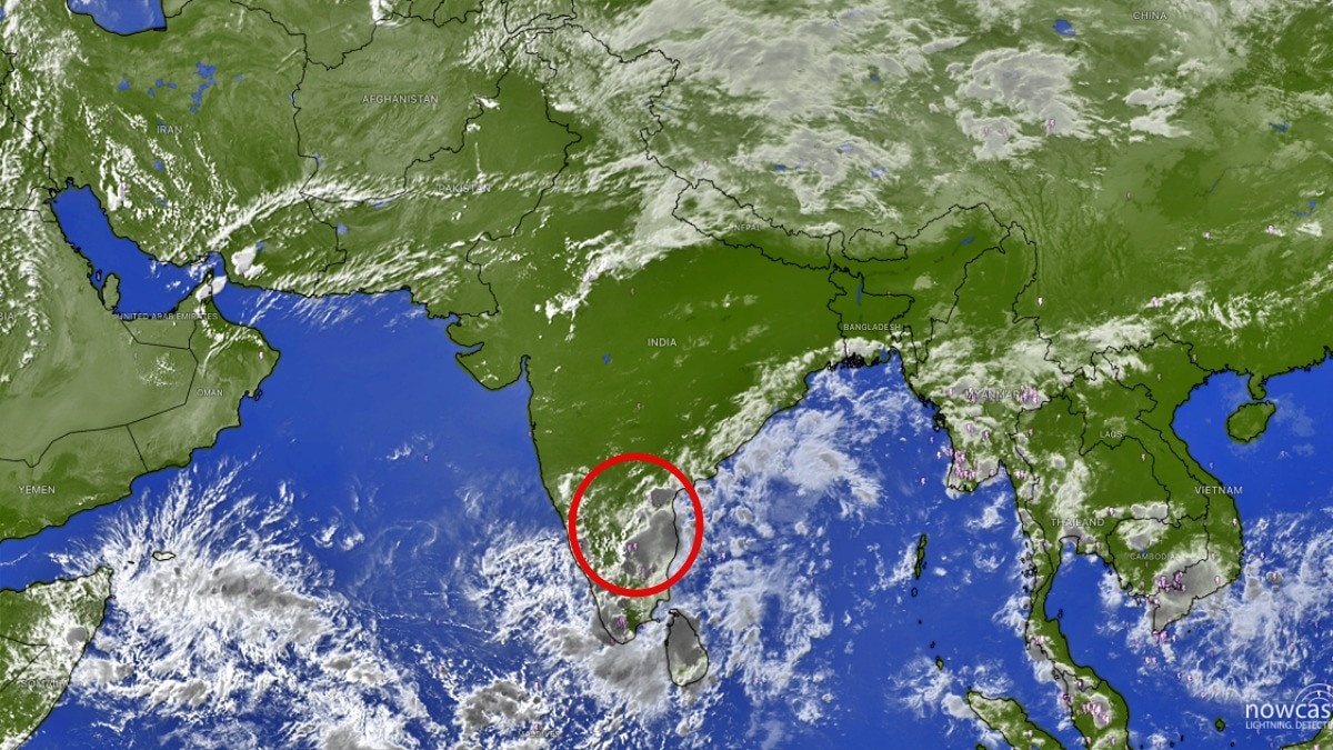 Bengaluru rain: City braces for heavy evening showers, thunderstorms over South India
A spell of heavy rain and thunderstorms is expected to affect Bengaluru through the evening and night, with several major cities across southern India likely to see a prolonged wet weekend. Bengaluru could be in for a…
-
 Thulavarsham hits Kerala; orange alert in four districts, yellow alert across state
Thiruvananthapuram: The North-East Monsoon, locally known as Thulavarsham, has arrived in Kerala, with the India Meteorological Department (IMD) warning of heavy rainfall across the state over the coming days. An orange…
-
 Kerala on heavy rain alert as North East monsoon sets in; orange alert in 4 districts
The India Meteorological Department (IMD) on Thursday announced the complete withdrawal of the southwest monsoon from the country and the onset of the northeast monsoon. The weather agency said northeast monsoon…
Sun & moon
Nearby
- Thiruvananthapuram 9 km
- Nāgercoil 54 km
- Neyyāttinkara 9 km
- Nedumangād 17 km
- Vikramasingapuram 50 km
- Vattiyūrkāvu 9 km
- Varkala 46 km
- Kudappanakkunnu 13 km
- Kalliyoor 2 km
- Athiyannur 8 km
- Kulathummal 9 km
- Paravūr Tekkumbhāgam 55 km
Forecasts, observations and alerts in the United States come from the National Weather Service (NOAA); radar from NOAA's Multi-Radar Multi-Sensor system; satellite imagery from NASA's Global Imagery Browse Services (GIBS) and NOAA's GOES satellites; the map from the U.S. Geological Survey's National Map; air quality from AirNow (EPA and its partners); hurricane information from the National Hurricane Center; climate normals and records from NOAA's Regional Climate Centers (ACIS). Forecasts outside the United States and the UV index: MET Norway (CC BY 4.0); observations outside the U.S.: airport reports via NOAA's Aviation Weather Center. Place names: GeoNames (CC BY 4.0). Data are copied on a schedule and may lag the sources; for warnings that affect your safety, follow your local National Weather Service office and emergency officials. Weather news is drawn from the 4Conservative index and reflects what the press published. Terms of use.