Install
Melur, Tamil Nadu, India Weather
Current conditions
Observed at Madurai Intl · 43 min ago
Forecast
10-day-
Wednesday
Heavy rain. High 30°. Precipitation 15.5 mm for the day.
-
Wednesday Night
Heavy rain. Low 25°. Precipitation 15.5 mm for the day.
-
Thursday
Heavy rain. High 29°. Precipitation 31.5 mm for the day.
MET Norway forecast updated 53 min ago.
Hourly
Hourly forecast- Now29°0.2
- 12:3030°0.2
- 13:3030°2.9
- 14:3027°2.7
- 15:3026°4.2
- 16:3025°1.8
- 17:3025°0.4
- 18:3025°0.3
- 19:3025°1.2
- 20:3025°1.0
- 21:3025°
- 22:3025°
- 23:3025°
- Thu00:3025°0.6
- 01:3024°1.0
- 02:3024°0.7
- 03:3024°
- 04:3024°
- 05:3024°
- 06:3024°
- 07:3025°
- 08:3026°
- 09:3028°
- 10:3029°
Daily forecast
DetailsRadar
Full mapWeather news near Melur
More weather news-
 Tamil Nadu weather today: Heavy to very heavy rain likely across state on Tuesday
New Delhi: Tamil Nadu is likely to witness widespread rain and thunderstorms on Tuesday, October 20, as the northeast monsoon remains active over the state. The India Meteorological Department (IMD) has warned of heavy…
-
 Very heavy rain forecast for seven TN districts today
Home » General » Environment » Very heavy rain forecast for seven TN districts today Posted By: Gopi October 19, 2026 Chennai, Oct 20 (SocialNews.XYZ) Seven districts in Tamil Nadu are likely to receive very heavy rain…
- Chennai Rain Alert: Heavy Spells and 50 kmph Winds Forecast Today
Chennai is expected to receive heavy to very heavy rain, thunderstorms and strong winds of 40-50 kmph on Monday, October 19, with the Regional Meteorological Centre warning that isolated parts of the city could see…
- Tamil Nadu Rain Alert Expands as Coimbatore Gets 18.4 cm
Tamil Nadu is facing an expanded heavy-rain alert after Periyanaickenpalayam in Coimbatore district recorded 18.4 cm of rain in the past 24 hours, with the Chennai Meteorological Centre warning of heavy rain across 14…
-
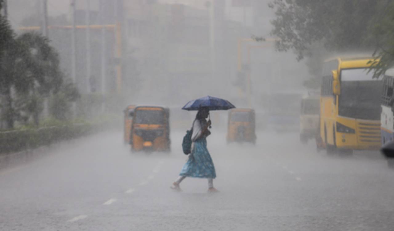 Tamil Nadu weather alert: Orange alert for Chennai, Coimbatore and two other districts
Tamil Nadu is bracing for widespread rainfall, with an orange alert issued for Chennai, Tiruchirappalli, Coimbatore and the Nilgiris on Monday. Tirunelveli and Madurai are under an orange alert for Tuesday, while heavy…
-
 Tamil Nadu: Orange Alert Issued For Chennai, Three Districts Ahead Of Heavy Rain Forecast
Chennai: An orange alert has been issued for Chennai, Tiruchirappalli, Coimbatore and the Nilgiris on Monday, with the weather department forecasting heavy to very heavy rainfall in the four districts amid widespread…
-
 IMD update: Heavy rain outlook for Kerala, South Interior Karnataka retained
Clouds and precipitation will likely be focused over an area bounded by Pulicat Lake to Chennai and adjoining coast as well as parts of Puducherry and then west-northwest towards Salem, Tiruchirappalli, parts of…
-
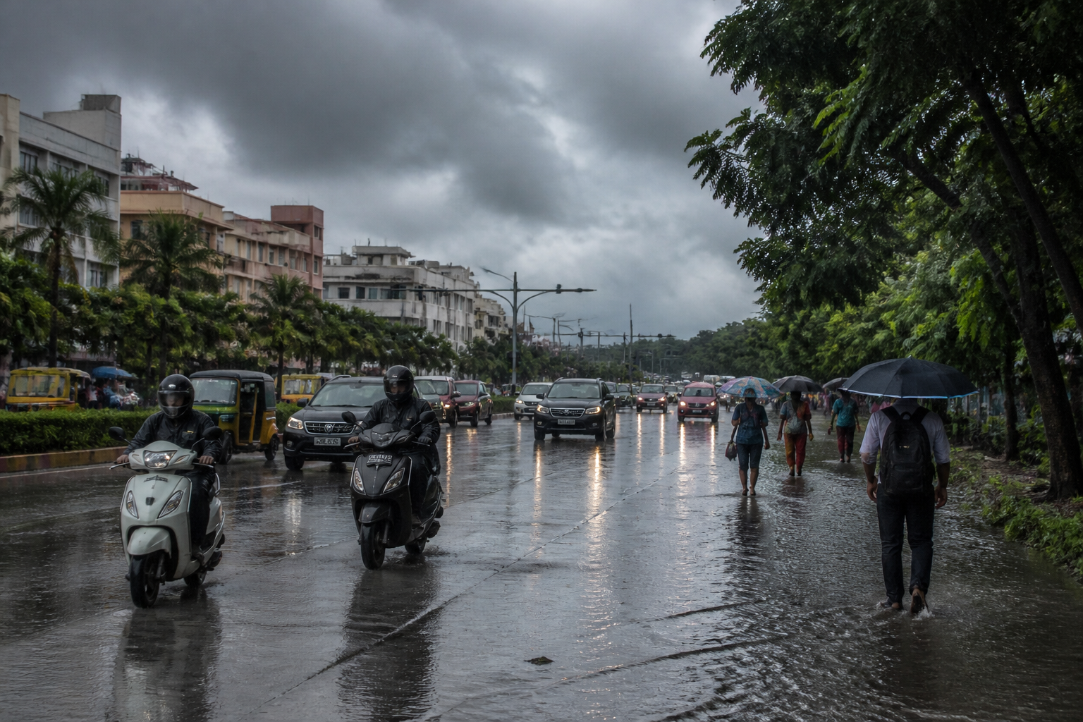 Tamil Nadu Rain Alert: Orange Warning Issued for Six Districts
Tamil Nadu is facing a widespread rain spell on October 17, with an orange alert issued for six districts and heavy-rain warnings covering 31 districts, including Chennai and Madurai, according to the Chennai…
-
 Orange alert in six Tamil Nadu districts as Northeast Monsoon brings widespread rain
Home » India » Orange alert in six Tamil Nadu districts as Northeast Monsoon brings widespread rain On: Saturday, October 17, 2026 9:54 AM Chennai, Oct 17 (IANS) Six districts in Tamil Nadu have been placed under an…
- Tamil Nadu weather today: Heavy rain, thunderstorms likely across several districts on Saturday
Tamil Nadu is likely to experience widespread rain and thunderstorms on Saturday, October 17, as the northeast monsoon remains active over the state. The India Meteorological Department (IMD) has warned of heavy to very…
Sun & moon
Nearby
- Madurai 27 km
- Dindigul 54 km
- Kāraikkudi 47 km
- Avaniyāpuram 30 km
- Ānaiyūr 26 km
- Devakottai 54 km
- Tirumangalam 45 km
- Tirupparangunram 34 km
- Melmadai 24 km
- Sivaganga 26 km
- Manamadurai 42 km
- Kannānendal 23 km
Forecasts, observations and alerts in the United States come from the National Weather Service (NOAA); radar from NOAA's Multi-Radar Multi-Sensor system; satellite imagery from NASA's Global Imagery Browse Services (GIBS) and NOAA's GOES satellites; the map from the U.S. Geological Survey's National Map; air quality from AirNow (EPA and its partners); hurricane information from the National Hurricane Center; climate normals and records from NOAA's Regional Climate Centers (ACIS). Forecasts outside the United States and the UV index: MET Norway (CC BY 4.0); observations outside the U.S.: airport reports via NOAA's Aviation Weather Center. Place names: GeoNames (CC BY 4.0). Data are copied on a schedule and may lag the sources; for warnings that affect your safety, follow your local National Weather Service office and emergency officials. Weather news is drawn from the 4Conservative index and reflects what the press published. Terms of use.