Install
Meerpet, Telangana, India Weather
Current conditions
Observed at Hyderabad/Gandhi Intl · 42 min ago
Forecast
10-day-
Wednesday
Light showers. High 31°. Precipitation 0.7 mm for the day.
-
Wednesday Night
Mostly clear. Low 25°. Precipitation 0.7 mm for the day.
-
Thursday
Showers. High 31°. Precipitation 0.3 mm for the day.
MET Norway forecast updated 1 hr ago.
Hourly
Hourly forecast- Now31°
- 13:3031°
- 14:3031°0.2
- 15:3031°0.4
- 16:3030°
- 17:3029°
- 18:3028°
- 19:3028°
- 20:3027°
- 21:3026°
- 22:3025°
- 23:3025°
- Thu00:3024°
- 01:3025°
- 02:3024°
- 03:3024°
- 04:3024°
- 05:3024°
- 06:3024°
- 07:3025°
- 08:3026°
- 09:3028°
- 10:3029°
- 11:3030°
Daily forecast
DetailsRadar
Full mapWeather news near Meerpet
More weather news- Hyderabad Zoo Adds Cooling Measures as Heat Conditions Intensify
Nehru Zoological Park in Hyderabad has activated a range of cooling, water and dietary measures for its animals and birds as temperatures rise amid what officials described as the impact of El Niño. The arrangements…
-
 Northeast monsoon unlikely to bring rain relief to Telangana
With the Indian Ocean Dipole (IOD) remaining neutral, the chances of widespread rain remain low. The state has recorded a 23% rainfall deficit since June, which could widen to 30% if substantial rainfall does not occur…
-
 Telangana Rain Forecast: Thunderstorms Likely Tuesday, Wednesday
Telangana Rain Forecast | Hyderabad, Oct 20 (Maxim News): The Hyderabad Meteorological Centre has forecast rain at isolated places in Telangana on Tuesday and Wednesday. Thunderstorms and lightning may accompany the…
-
 AP and Telangana Weather Alert: IMD Forecasts Heavy Showers On Dussehra, Check Full Details
The remaining districts in the state might also see light to moderate scattered rainfall. Some places will get rain, while other areas will remain dry. APSDMA has warned farmers, agricultural laborers, and cattle…
-
 Karachi sizzling as mercury touches 39ºC
KARACHI: The city continued to sizzle on Monday as the maximum daytime temperature touched 39 Celsius, 2.6 degrees above normal, with the Met Office warning of more hot days this week. The city’s temperature persisted…
-
 Hyderabad Weather Today, October 18: IMD Forecasts Thunderstorms, Gusty Winds Across Telangana
HYDERABAD: Hyderabad may receive light to moderate rain or thundershowers on Sunday evening or night, October 18. The India Meteorological Department (IMD), Hyderabad, has forecast generally cloudy skies and gusty winds…
-
 Rain brings relief to Telangana after prolonged dry spell, parts of Hyderabad see scattered showers
Published - October 17, 2026 11:53 pm IST - HYDERABAD Several parts of Telangana received rainfall on Saturday (October 17), bringing relief after a prolonged dry spell that had contributed to falling groundwater levels…
-
 Hyderabad Weather Today, October 17: IMD Rain and Thunderstorm Alert
Hyderabad weather update: Rain and thunderstorms are forecast across the city on Sunday and Monday. IMD has issued yellow warnings for several Telangana districts, with lightning and gusty winds expected at isolated…
-
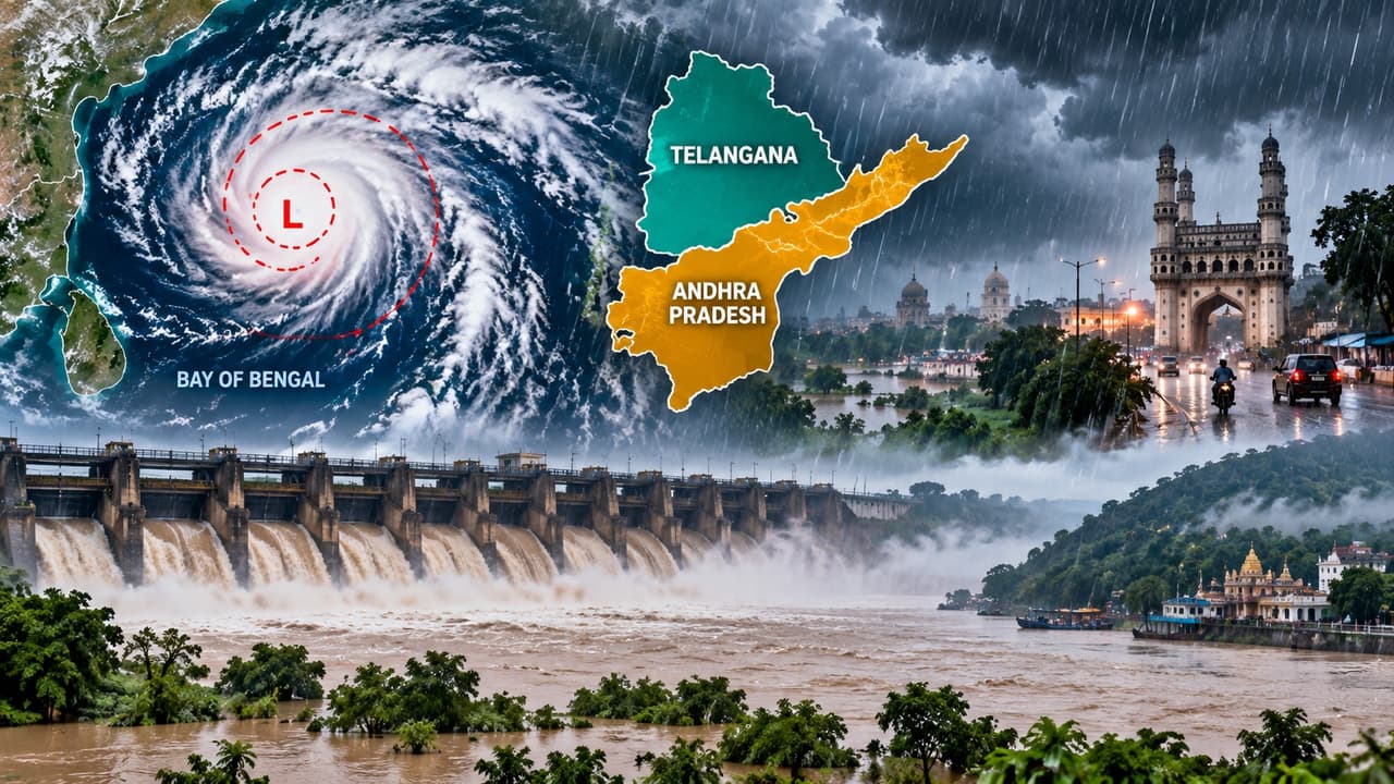 AP, Telangana Weather Alert: Heavy Rains, Gusty Winds to Lash THESE Districts 3 Days, Check Forecast
The weather in the Telugu states has changed suddenly. A cyclonic circulation over North Tamil Nadu and South Coastal Andhra, along with a trough stretching to the Northwest Bay of Bengal, has triggered this massive…
-
 El Nino concerns: Hyderabad tanker bookings double; households told to cut water use by 20%
Published - October 17, 2026 12:25 pm IST - HYDERABAD With daily water tanker bookings in Hyderabad rising from the usual 3,500 in October to around 7,000 this year and groundwater levels declining sharply, the…
Sun & moon
Nearby
- Hyderabad 11 km
- Kukatpally 22 km
- Lal Bahadur Nagar 4 km
- Quthbullapur 21 km
- Secunderabad 20 km
- Serilingampalle 31 km
- Malkajgiri 14 km
- Uppal Kalan 10 km
- Sangāreddi 58 km
- Gaddi Annaram 5 km
- Bhongīr 43 km
- Patancheru 37 km
Forecasts, observations and alerts in the United States come from the National Weather Service (NOAA); radar from NOAA's Multi-Radar Multi-Sensor system; satellite imagery from NASA's Global Imagery Browse Services (GIBS) and NOAA's GOES satellites; the map from the U.S. Geological Survey's National Map; air quality from AirNow (EPA and its partners); hurricane information from the National Hurricane Center; climate normals and records from NOAA's Regional Climate Centers (ACIS). Forecasts outside the United States and the UV index: MET Norway (CC BY 4.0); observations outside the U.S.: airport reports via NOAA's Aviation Weather Center. Place names: GeoNames (CC BY 4.0). Data are copied on a schedule and may lag the sources; for warnings that affect your safety, follow your local National Weather Service office and emergency officials. Weather news is drawn from the 4Conservative index and reflects what the press published. Terms of use.