Install
Kurseong, West Bengal, India Weather
Current conditions
Forecast for this hour (no station report in the last two hours)
Forecast
10-day-
Tuesday Night
Clear. Low 16°.
-
Wednesday
Sunny. High 21°.
-
Wednesday Night
Clear. Low 15°.
MET Norway forecast updated 4 hrs ago.
Hourly
Hourly forecast- Now17°
- 23:3016°
- Wed00:3015°
- 01:3015°
- 02:3015°
- 03:3016°
- 04:3016°
- 05:3016°
- 06:3017°
- 07:3020°
- 08:3020°
- 09:3020°
- 10:3021°
- 11:3021°
- 12:3021°
- 13:3021°
- 14:3020°
- 15:3019°
- 16:3018°
- 17:3016°
- 18:3016°
- 19:3016°
- 20:3016°
- 21:3016°
10-day forecast
DetailsRadar
Full mapWeather news in India
More weather news-
 Daily weather tracker: Heavy rain alert for southern India; strong winds forecast over Arabian Sea
IMD has issued an orange alert for Tamil Nadu, Puducherry and Karaikal, warning of heavy to very heavy rainfall of up to 204.4mm on October 20 2026. Kerala, Mahe, coastal Andhra Pradesh and the Andaman and Nicobar…
-
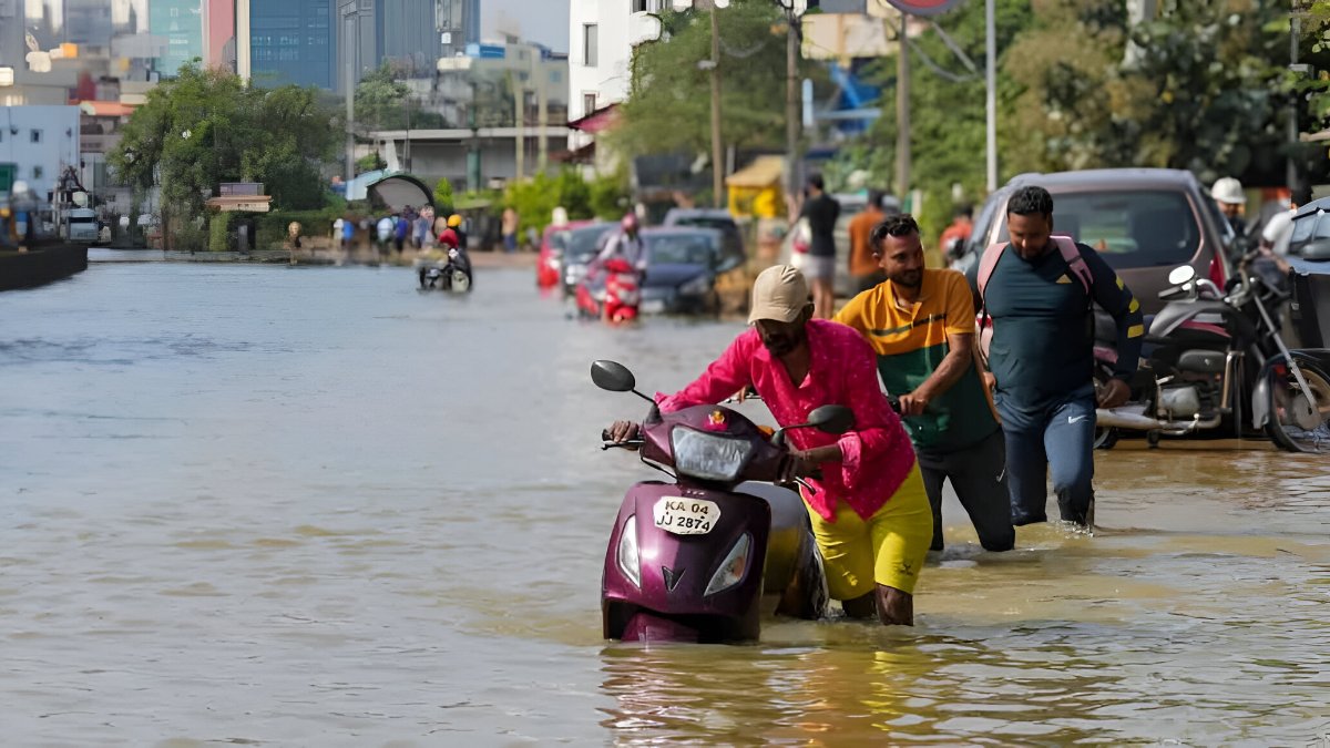 South India Rain Alert: IMD Warns Of Heavy Rain In 5 States Till October 24; Check Region-Wise Forecast
The northeast monsoon is bringing major rainfall activity in and around southern India, and the India Meteorological Department (IMD) has warned of heavy showers and thunderstorms across Tamil Nadu, Kerala, Karnataka…
-
 India Weather Update: IMD Predicts Heavy Rainfall Across Tamil Nadu, Kerala, Andhra Pradesh and Several Other States in the Coming Days; Check Forecast & Latest Update
The changing weather pattern is associated with a low-pressure area over the southwest Arabian Sea, which the IMD expected could intensify into a depression within 24 hours. The post India Weather Update: IMD Predicts…
-
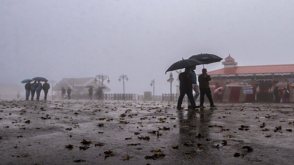 IMD weather forecast October 19: Heavy rain likely in South India, Delhi to see clear skies
IMD weather forecast: Rain alert for South India The IMD has forecast isolated heavy rainfall over Kerala and Mahe from October 19 to 24, and South Interior Karnataka from October 19 to 24. Tamil Nadu, Puducherry and…
-
 Weather Shift: Delhi Sees a Change in Weather With a Light Haze Blanketing the City
Abplive.com stands as one of India’s fastest-growing and most trusted English news platforms, known for its sharp, fearless, and balanced journalism. The website delivers accurate and timely updates from across India…
-
 Northeast monsoon unlikely to bring rain relief to Telangana
With the Indian Ocean Dipole (IOD) remaining neutral, the chances of widespread rain remain low. The state has recorded a 23% rainfall deficit since June, which could widen to 30% if substantial rainfall does not occur…
-
 Delhi records lowest minimum temperature of October at 17.1 degrees Celsius as winter chill sets in
20 October,2026 10:26 AM IST | New Delhi | mid-day online correspondent Delhi-NCR in the last 24 hours recorded its lowest minimum temperature of the month. The national capital on Monday recorded 17.1 degrees Celsius…
-
 Showery weather to intensify across island from today
රංජන්ගේ මැම්බර් | 2026.10.09 රංජන්ගේ මැම්බර් | 2026.10.06 රංජන්ගේ මැම්බර් | 2026.10.01 රංජන්ගේ මැම්බර් | 2026.09.27 රංජන්ගේ මැම්බර් | 2026.09.26 Gunfire targets Tiger Shroff in Mumbai Actor Imran Khan told to leave…
-
 Mumbai Hits 38°C In October: Will The City Get A Proper Winter This Year? Here's What To Expect
Mumbai’s scorching October has raised a familiar question: will the city finally experience a proper winter this year, or will the heat and humidity linger well into the cooler months? The immediate forecast offers…
-
 Mumbai weather update: Hazy skies, humid conditions persist as mercury touches 37 deg C
The city recorded unusually high daytime temperatures on Tuesday, with the Colaba observatory registering a maximum of 37.3 degrees Celsius and Santacruz recording 37.1 degrees Celsius, according to reported IMD…
Sun & moon
Nearby
Forecasts, observations and alerts in the United States come from the National Weather Service (NOAA); radar from NOAA's Multi-Radar Multi-Sensor system; satellite imagery from NASA's Global Imagery Browse Services (GIBS) and NOAA's GOES satellites; the map from the U.S. Geological Survey's National Map; air quality from AirNow (EPA and its partners); hurricane information from the National Hurricane Center; climate normals and records from NOAA's Regional Climate Centers (ACIS). Forecasts outside the United States and the UV index: MET Norway (CC BY 4.0); observations outside the U.S.: airport reports via NOAA's Aviation Weather Center. Place names: GeoNames (CC BY 4.0). Data are copied on a schedule and may lag the sources; for warnings that affect your safety, follow your local National Weather Service office and emergency officials. Weather news is drawn from the 4Conservative index and reflects what the press published. Terms of use.