Install
Karur, Tamil Nadu, India Weather
Current conditions
Forecast for this hour (no station report in the last two hours)
Forecast
10-day-
Tuesday
Rain. High 30°. Precipitation 8.0 mm for the day.
-
Tuesday Night
Heavy rain. Low 25°. Precipitation 8.0 mm for the day.
-
Wednesday
Heavy rain. High 30°. Precipitation 9.7 mm for the day.
MET Norway forecast updated 3 hrs ago.
Hourly
Hourly forecast- Now26°0.5
- 20:3026°1.3
- 21:3025°2.2
- 22:3025°1.7
- 23:3025°0.5
- Wed00:3025°0.3
- 01:3025°0.3
- 02:3025°
- 03:3025°
- 04:3025°
- 05:3024°
- 06:3025°
- 07:3025°
- 08:3027°
- 09:3028°
- 10:3029°
- 11:3030°0.2
- 12:3030°3.5
- 13:3027°1.1
- 14:3027°0.5
- 15:3027°0.9
- 16:3027°0.7
- 17:3026°1.0
- 18:3026°0.3
10-day forecast
DetailsRadar
Full mapWeather news near Karur
More weather news- Orange Alert Issued for Six Tamil Nadu Districts Amid Northeast Monsoon
An orange alert has been issued for six districts in Tamil Nadu due to anticipated heavy rainfall from the northeast monsoon. Chennai, October 17 (Udaipur Kiran) : An orange alert has been declared for six districts in…
-
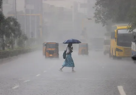 Orange alert in six Tamil Nadu districts as Northeast Monsoon brings widespread rain
Home » India » Orange alert in six Tamil Nadu districts as Northeast Monsoon brings widespread rain On: Saturday, October 17, 2026 9:54 AM Chennai, Oct 17 (IANS) Six districts in Tamil Nadu have been placed under an…
-
 Snowfall triggers severe cold in Himachal Pradesh:Northeast Monsoon hits Tamil Nadu, storms and rain threaten 37 UP districts
Storms and rain continue in western Uttar Pradesh. Since Friday morning, intermittent rain accompanied by strong winds has been reported in five cities, including Agra, Mathura and Hathras. Agra received so much rain…
-
 Northeast Monsoon Hits Tamil Nadu With Heavy Rain Across Districts
The Northeast Monsoon began in Tamil Nadu with heavy rain across several districts, disrupting normal life and producing more than 100 mm of rainfall at multiple locations in Kanniyakumari, Erode, Coimbatore and Theni…
- Monsoon rainfall brings marginal inflow to reservoirs in Chennai
Published - October 16, 2026 08:50 pm IST - CHENNAI Inflow has begun trickling into Chennai’s reservoirs with the onset of the northeast monsoon after prolonged dry weather. Heavy rainfall is expected across several…
-
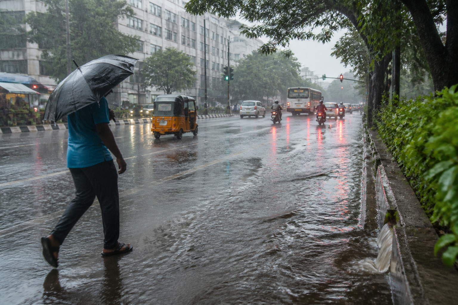 Tamil Nadu Northeast Monsoon Brings Orange Alert to Six Districts
Tamil Nadu northeast monsoon brings heavy rain warnings across 27 districts, with an orange alert for six districts and preparedness measures underway. Tamil Nadu Northeast Monsoon Brings Orange Alert to Six Districts…
- Tamil Nadu Northeast Monsoon 2026 Begins: Orange Alert for 6 Districts, Chennai Rain Forecast
The northeast monsoon has commenced over Tamil Nadu, Puducherry and Karaikal, bringing fresh rainfall forecasts across the State. The Chennai Regional Meteorological Centre has issued an orange alert for six districts…
-
 Rain lashes several TN dists as monsoon sets in
TAMIL Nadu received widespread rainfall as the northeast monsoon commenced on Thursday, with overnight showers reported in several locations and more rain forecast across the state over the next few days. During the 24…
-
 Rain lashes several Tamil Nadu districts as monsoon sets in
CHENNAI: Tamil Nadu received widespread rainfall as the northeast monsoon commenced on Thursday, with overnight showers reported in several locations and more rain forecast across the state over the next few days…
-
 Rain brings relief to delta farmers
Published - October 15, 2026 07:20 pm IST - TIRUCHI Several parts of the Cauvery delta region continued to receive light to moderate rain for the second consecutive day on Thursday. The onset of the northeast monsoon…
Sun & moon
Nearby
- Erode 58 km
- Tiruchengode 51 km
- Vīrappanchathiram 60 km
- Kāsipālaiyam 57 km
- Nāmakkal 31 km
- Tāndoni 4 km
- Rasipuram 57 km
- Sūrampatti 58 km
- Manapparai 54 km
- Vellakkovil 40 km
- Pallipalayam 57 km
- Kangayam 57 km
Forecasts, observations and alerts in the United States come from the National Weather Service (NOAA); radar from NOAA's Multi-Radar Multi-Sensor system; satellite imagery from NASA's Global Imagery Browse Services (GIBS) and NOAA's GOES satellites; the map from the U.S. Geological Survey's National Map; air quality from AirNow (EPA and its partners); hurricane information from the National Hurricane Center; climate normals and records from NOAA's Regional Climate Centers (ACIS). Forecasts outside the United States and the UV index: MET Norway (CC BY 4.0); observations outside the U.S.: airport reports via NOAA's Aviation Weather Center. Place names: GeoNames (CC BY 4.0). Data are copied on a schedule and may lag the sources; for warnings that affect your safety, follow your local National Weather Service office and emergency officials. Weather news is drawn from the 4Conservative index and reflects what the press published. Terms of use.