Install
Gudibanda, Karnataka, India Weather
Current conditions
Forecast for this hour (no station report in the last two hours)
Forecast
10-day-
Wednesday
Showers. High 29°. Precipitation 0.8 mm for the day.
-
Wednesday Night
Cloudy. Low 20°. Precipitation 0.8 mm for the day.
-
Thursday
Heavy rain. High 28°. Precipitation 6.1 mm for the day.
MET Norway forecast updated 19 hrs ago.
Hourly
Hourly forecast- Now28°
- 14:3029°
- 15:3028°
- 16:3027°
- 17:3026°
- 18:3025°
- 19:3024°
- 20:3023°
- 21:3023°
- 22:3023°
- 23:3022°
- Thu00:3022°
- 01:3022°
- 02:3021°
- 03:3021°
- 04:3021°
- 05:3020°
- 06:3021°
- 07:3022°
- 08:3023°0.2
- 09:3025°0.3
- 10:3026°
- 11:3028°
- 12:3028°0.2
Daily forecast
DetailsRadar
Full mapWeather news in India
More weather news-
 Daily weather tracker: Heavy rain alert for southern India; strong winds forecast over Arabian Sea
IMD has issued an orange alert for Tamil Nadu, Puducherry and Karaikal, warning of heavy to very heavy rainfall of up to 204.4mm on October 20 2026. Kerala, Mahe, coastal Andhra Pradesh and the Andaman and Nicobar…
-
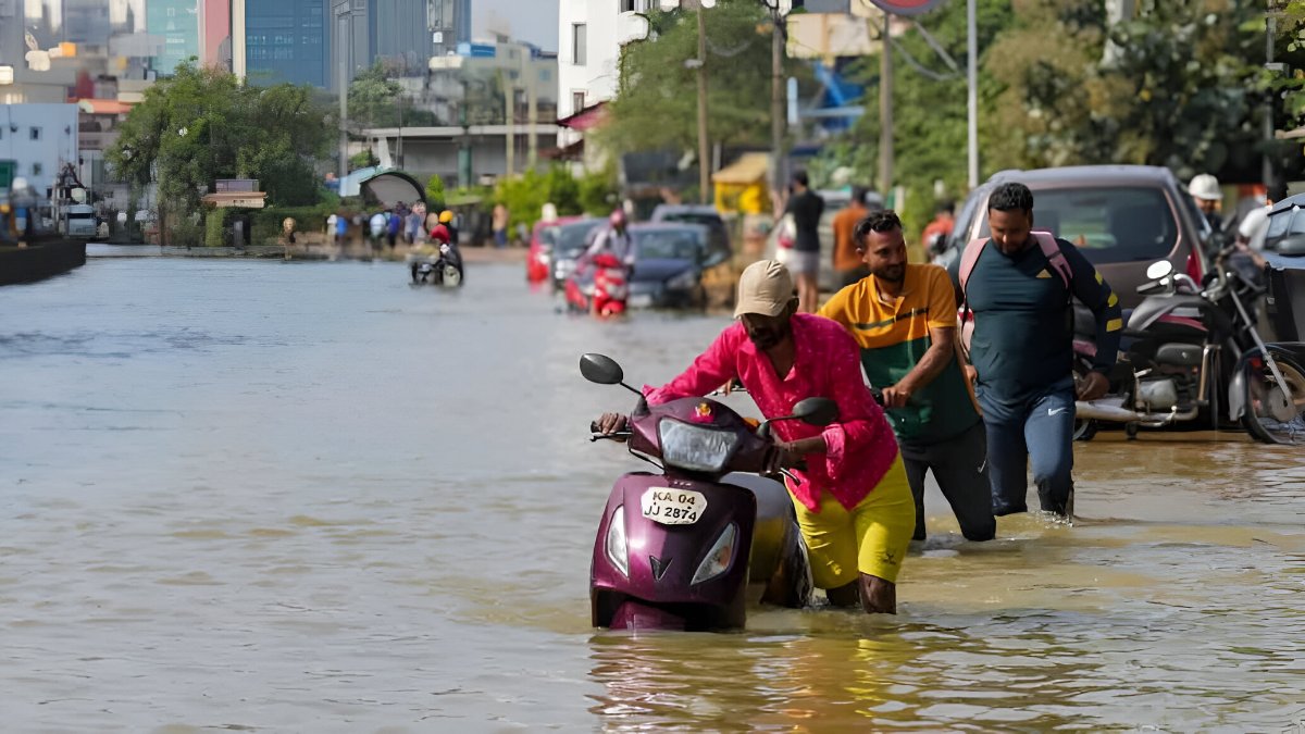 South India Rain Alert: IMD Warns Of Heavy Rain In 5 States Till October 24; Check Region-Wise Forecast
The northeast monsoon is bringing major rainfall activity in and around southern India, and the India Meteorological Department (IMD) has warned of heavy showers and thunderstorms across Tamil Nadu, Kerala, Karnataka…
-
 India Weather Update: IMD Predicts Heavy Rainfall Across Tamil Nadu, Kerala, Andhra Pradesh and Several Other States in the Coming Days; Check Forecast & Latest Update
The changing weather pattern is associated with a low-pressure area over the southwest Arabian Sea, which the IMD expected could intensify into a depression within 24 hours. The post India Weather Update: IMD Predicts…
-
 IMD Forecasts Isolated Heavy Rain in South Interior Karnataka From October 21 to 24
Bengaluru’s Leading News Portal Bengaluru: The India Meteorological Department has forecast isolated heavy rain over South Interior Karnataka from October 21 to 24, setting out a four-day window in its latest warning…
-
 Northeast monsoon preparedness inadequate in Tamil Nadu: Annamalai
The Times of India
-
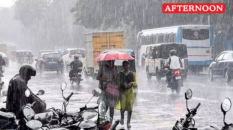 New low-pressure over Bay of Bengal
The India Meteorological Department (IMD) has forecast the formation of a new low-pressure area over the southeast and adjoining east-central Bay of Bengal on October 23. The northeast monsoon commenced over Tamil Nadu…
-
 Nottingham weather forecast: Cool temperatures and light rain expected today, October 21, 2026
The Times of India Nottingham is experiencing a cool and damp day today, October 21, 2026 With a high of only 10°C and a low of 5°C, residents can expect a wet atmosphere as light rain showers are anticipated…
-
 Leeds weather update: Mild temperatures and light rain expected on October 21, 2026
The Times of India Leeds, 21 October 2026 - Today's weather in Leeds brings a noticeable shift as light rain is expected to dampen the atmosphere Temperatures will hover between a mild 11°C at its peak and a lower…
-
 Chennai school holiday, Oct 21: Schools shut in four Tamil Nadu districts as heavy rains predicted | Check IMD alert
Schools in four districts of Tamil Nadu were shut on Wednesday (October 21) in the wake of the India Meteorological Department (IMD) predicting heavy rainfall in the region, local media reported. A holiday was declared…
-
 Japan prepares for 30th named storm of 2026 as Typhoon Champi approaches Okinawa
Typhoon Champi is forecast to reach Okinawa’s Sakishima Islands between Friday and Saturday, then affect parts of Kyushu from the weekend. Authorities are urging people to stay alert as Typhoon Champi moves from the…
Sun & moon
Nearby
- Hindupur 29 km
- Doddaballapura 46 km
- Chintamani 48 km
- Chik Ballāpur 26 km
- Sidlaghatta 36 km
- Gauribidanur 21 km
- Vijayapura 43 km
- Madhugiri 53 km
- Devanahalli 47 km
- Bāgepalli 16 km
- Gorantla 36 km
- Penukonda 47 km
Forecasts, observations and alerts in the United States come from the National Weather Service (NOAA); radar from NOAA's Multi-Radar Multi-Sensor system; satellite imagery from NASA's Global Imagery Browse Services (GIBS) and NOAA's GOES satellites; the map from the U.S. Geological Survey's National Map; air quality from AirNow (EPA and its partners); hurricane information from the National Hurricane Center; climate normals and records from NOAA's Regional Climate Centers (ACIS). Forecasts outside the United States and the UV index: MET Norway (CC BY 4.0); observations outside the U.S.: airport reports via NOAA's Aviation Weather Center. Place names: GeoNames (CC BY 4.0). Data are copied on a schedule and may lag the sources; for warnings that affect your safety, follow your local National Weather Service office and emergency officials. Weather news is drawn from the 4Conservative index and reflects what the press published. Terms of use.