Install
Ghātāl, West Bengal, India Weather
Current conditions
Forecast for this hour (no station report in the last two hours)
Forecast
10-day-
Wednesday
Sunny. High 30°.
-
Wednesday Night
Clear. Low 24°.
-
Thursday
Partly cloudy. High 30°.
MET Norway forecast updated 2 hrs ago.
Hourly
Hourly forecast- Now30°
- 13:3030°
- 14:3030°
- 15:3029°
- 16:3028°
- 17:3027°
- 18:3026°
- 19:3026°
- 20:3025°
- 21:3025°
- 22:3024°
- 23:3024°
- Thu00:3023°
- 01:3023°
- 02:3022°
- 03:3022°
- 04:3022°
- 05:3022°
- 06:3023°
- 07:3024°
- 08:3026°
- 09:3028°
- 10:3029°
- 11:3030°
Daily forecast
DetailsRadar
Full mapWeather news near Ghātāl
More weather news-
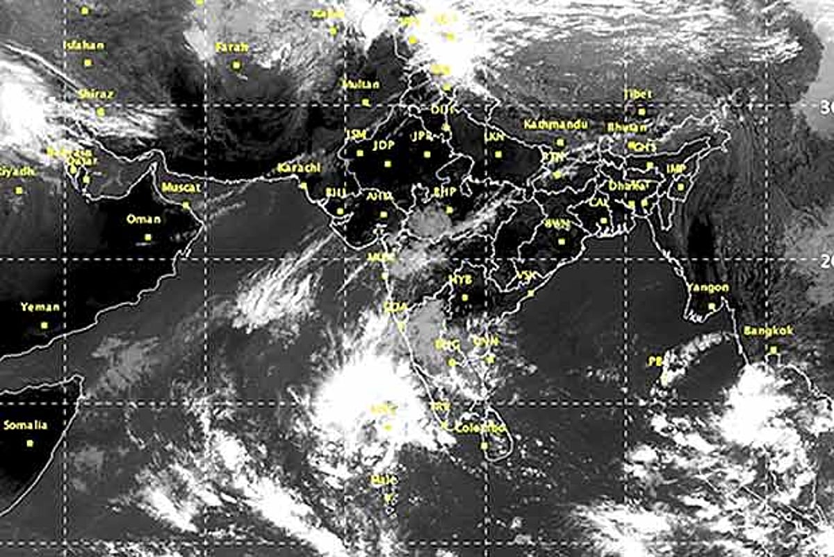 Two low-pressure systems likely over Bay of Bengal; orange alert for Tamil Nadu districts today
CHENNAI: Two weather systems are likely over the Bay of Bengal, with a low-pressure area expected to form over the southwest Bay of Bengal within 24 hours and another over the southeast and adjoining east-central Bay of…
- Tamil Nadu Weather News: Orange Alert and Heavy Rain Warning for Several Districts
The Northeast Monsoon has intensified across Tamil Nadu, with an orange alert issued for Chengalpattu district for very heavy rainfall, according to the weather update provided. The Chennai Regional Meteorological…
- Heavy rainfall to continue across T.N. till October 23
Published - October 17, 2026 08:47 pm IST - CHENNAI Widespread rainfall, with heavy spells lashed many districts, including in northern parts of the State, overnight on Friday. The Regional Meteorological Centre (RMC)…
-
 Snowfall triggers severe cold in Himachal Pradesh:Northeast Monsoon hits Tamil Nadu, storms and rain threaten 37 UP districts
Storms and rain continue in western Uttar Pradesh. Since Friday morning, intermittent rain accompanied by strong winds has been reported in five cities, including Agra, Mathura and Hathras. Agra received so much rain…
-
 GOA HITS 36.4°C; THUNDERSTORM WARNING FOR GHATS || GOA365 TV
Goa's First English News Channel 16 Oct 2026 06:46 PM What do you feel Chairpersons Come and Go but Bicholim’s Parking Problem Never Does||GOA365 TV Open Gutters Put Mapusa at Risk of Dengue and Malaria Outbreak||GOA365…
-
 IMD predicts thunderstorms for parts of Maharashtra; Mumbai and Thane to stay hot and humid
IMD forecasts rain, lightning, and gusty winds across parts of Konkan and western Maharashtra, while Mumbai and Thane brace for hot, sticky weather. Check the latest weekend district-wise forecast and safety advisory…
- Monsoon rainfall brings marginal inflow to reservoirs in Chennai
Published - October 16, 2026 08:50 pm IST - CHENNAI Inflow has begun trickling into Chennai’s reservoirs with the onset of the northeast monsoon after prolonged dry weather. Heavy rainfall is expected across several…
- Tirunelveli district records moderate rainfall
Published - October 16, 2026 07:33 pm IST - TIRUNELVELI Even as the Indian Meteorological Department had predicted heavy rain for the district on Friday, most parts of the district recorded only moderate rainfall with…
-
 Maharashtra Weather Update: Thunderstorms, Lightning and Gusty Winds Likely in Several Districts
The weather in Mumbai and Thane is expected to remain largely dry on Saturday and Sunday, October 17 and 18. Light rain or thundershowers are possible in the Mumbai region on Tuesday, October 20. The RMC has also warned…
-
 Goa Records 37.4°C as Heatwave-Like Conditions Persist; IMD Forecasts Rain from October 19
Goa continued to experience heatwave-like conditions on Thursday, with the maximum temperature reaching 37.4°C and high humidity intensifying discomfort across the state. The India Meteorological Department (IMD) has…
Sun & moon
Nearby
- Maheshtala 56 km
- Uluberiya 43 km
- Kharagpur 55 km
- Medinīpur 50 km
- Budge Budge 50 km
- Arāmbāgh 25 km
- Bankra 56 km
- Tamlūk 45 km
- Pujali 47 km
- Tarakeswar 38 km
- Sānkrāil 52 km
- Pānchla 44 km
Forecasts, observations and alerts in the United States come from the National Weather Service (NOAA); radar from NOAA's Multi-Radar Multi-Sensor system; satellite imagery from NASA's Global Imagery Browse Services (GIBS) and NOAA's GOES satellites; the map from the U.S. Geological Survey's National Map; air quality from AirNow (EPA and its partners); hurricane information from the National Hurricane Center; climate normals and records from NOAA's Regional Climate Centers (ACIS). Forecasts outside the United States and the UV index: MET Norway (CC BY 4.0); observations outside the U.S.: airport reports via NOAA's Aviation Weather Center. Place names: GeoNames (CC BY 4.0). Data are copied on a schedule and may lag the sources; for warnings that affect your safety, follow your local National Weather Service office and emergency officials. Weather news is drawn from the 4Conservative index and reflects what the press published. Terms of use.