Install
Chandrapur, Chhattisgarh, India Weather
Current conditions
Forecast for this hour (no station report in the last two hours)
Forecast
10-day-
Monday
Partly cloudy. High 30°.
-
Monday Night
Partly cloudy. Low 18°.
-
Tuesday
Cloudy. High 30°. Precipitation 4.7 mm for the day.
MET Norway forecast updated 23 hrs ago.
Hourly
Hourly forecast- Now18°
- 06:3018°
- 07:3020°
- 08:3022°
- 09:3025°
- 10:3027°
- 11:3028°
- 12:3029°
- 13:3030°
- 14:3030°
- 15:3030°
- 16:3029°
- 17:3026°
- 18:3024°
- 19:3023°
- 20:3023°
- 21:3022°
- 22:3021°
- 23:3021°
- Tue00:3021°
- 01:3021°
- 02:3021°
- 03:3021°
- 04:3021°
Daily forecast
DetailsRadar
Full mapWeather news near Chandrapur
More weather news-
 Maharashtra Weather Alert: Hot and Humid Conditions Expected in Konkan; Rain Likely in Parts of State on October 23
The IMD has forecast hot and humid conditions in Palghar, Thane, Mumbai and Raigad districts. A yellow alert has been issued for these areas. Ratnagiri and Sindhudurg are also likely to experience hot and humid weather…
-
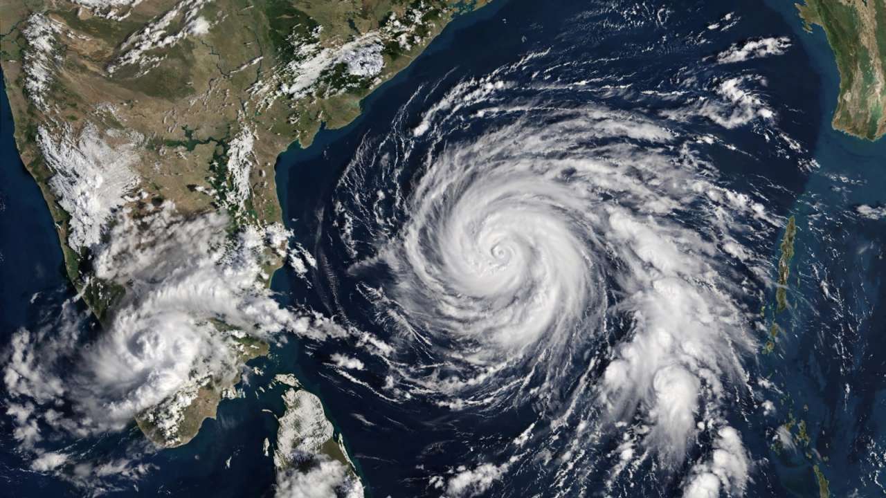 IMD forecasts cyclone over Bay of Bengal, warns of heavy rain across southern India
A possible cyclone over the Bay of Bengal has put several coastal states on alert, with Tamil Nadu expected to witness heavy rainfall in the coming days first. Updated : Oct 24, 2026, 10:06 PM IST The India…
-
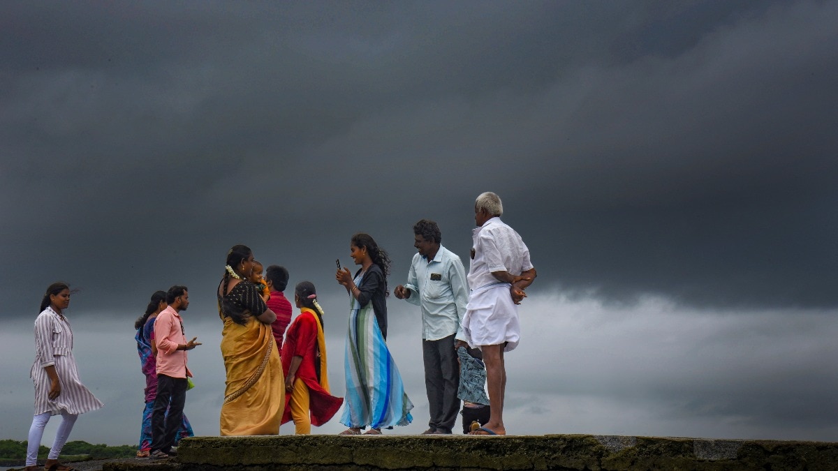 Heavy rain to hit South India on Sunday, Bay system to pick up pace
Heavy to extremely heavy rainfall is likely in parts of south India on Sunday, October 25, as a weather system over the Bay of Bengal is expected to intensify further, according to the India Meteorological Department…
-
 India Weather Alert: Hail, Heavy Rain and Cyclone Watch
Hail hits Rajasthan and Haryana as heavy rain disrupts Tamil Nadu’s Nilgiris. IMD tracks a Bay of Bengal system that may approach Andhra-Odisha by October 28. Rain and hailstorms have disrupted weather across Rajasthan…
-
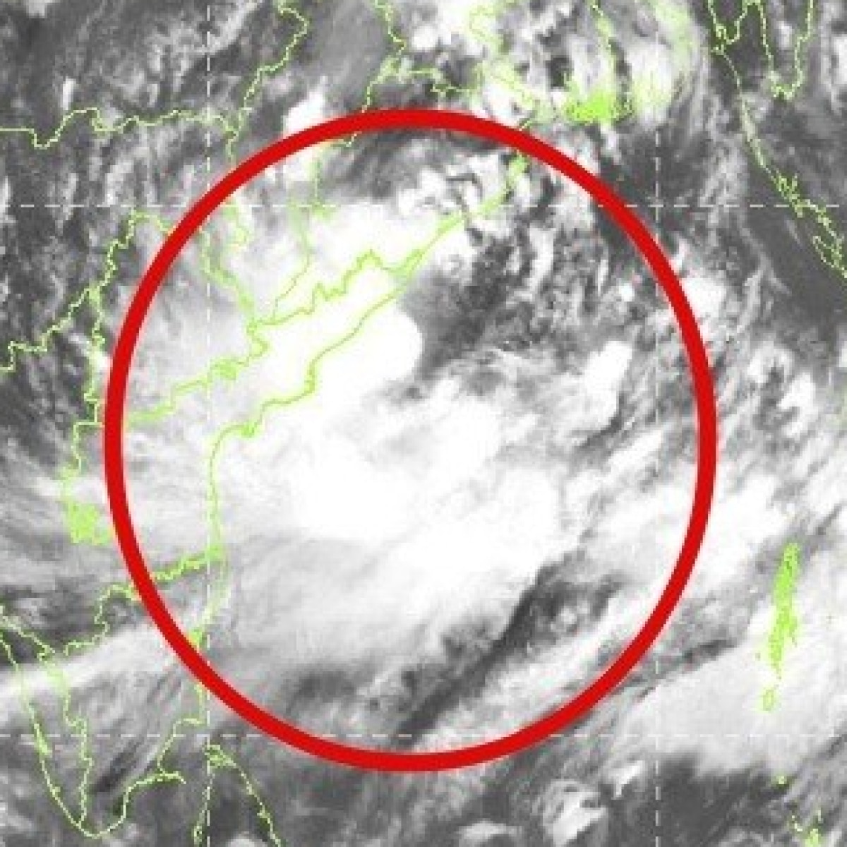 Cyclone Arnab
indiatoday.in is the leading Indian news website specialising in the fastest breaking news that ensures the most reliable news coverage in English. It provides readers with the full spectrum of news of India and the…
-
 Heavy rains continue in Keralam; IMD issues red alert in 3 districts
Thiruvananthapuram, Oct 25 (PTI) As heavy rains disrupted normal life in Keralam due to waterlogging in low-lying areas, the IMD on Sunday issued a red alert in three districts of the state for the day. Educational…
-
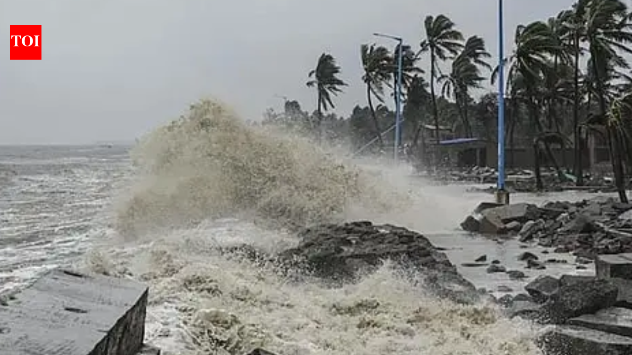 Cyclone Arnab Live Updates: Very severe storm likely over Bay of Bengal, Andhra coast on alert; heavy rain forecast in Odisha, Bengal
The Odisha government stepped up preparedness measures on Sunday, mobilising personnel and equipment in vulnerable areas as a severe cyclonic storm is expected to hit the neighbouring Andhra Pradesh coast on October 28…
-
 Mumbai Weather: IMD Issues Yellow Alert For City And Surrounding Districts, Warns Of Hot And Humid Conditions
Mumbai: The India Meteorological Department on Sunday issued a yellow alert for Mumbai and its surrounding districts of Thane, Palghar and Raigad, warning of hot and humid conditions in isolated pockets. The yellow…
-
 Bay of Bengal Deep Depression Intensifies, Set to Become Cyclonic Storm by Monday Morning
Home » Bay of Bengal Deep Depression Intensifies, Set to Become Cyclonic Storm by Monday Morning The weather system brewing over the Bay of Bengal has escalated significantly, with the India Meteorological Department…
-
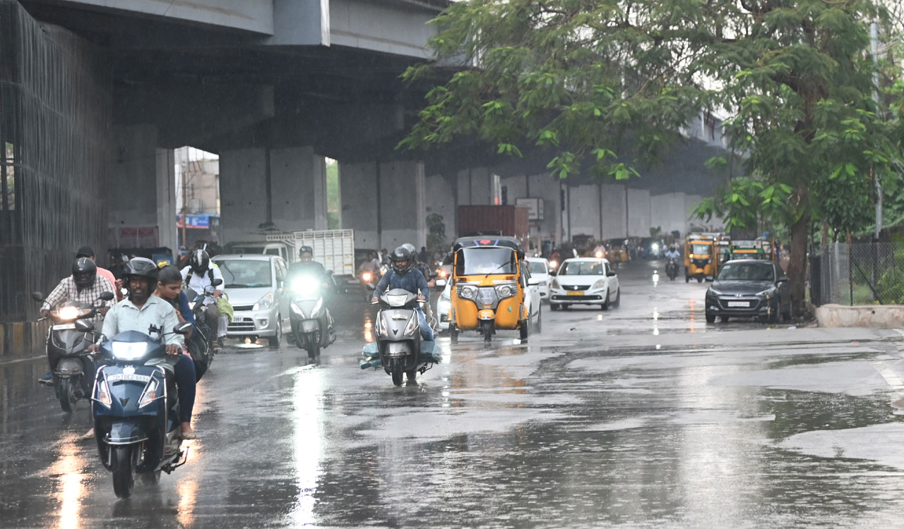 IMD forecasts intense rain in Telangana from October 27
The IMD has warned of extremely heavy rainfall in parts of Telangana on October 28 as a weather system develops over the Bay of Bengal. Mulugu, Bhadradri Kothagudem and Khammam are under a red alert for intense rainfall…
Sun & moon
Nearby
Forecasts, observations and alerts in the United States come from the National Weather Service (NOAA); radar from NOAA's Multi-Radar Multi-Sensor system; satellite imagery from NASA's Global Imagery Browse Services (GIBS) and NOAA's GOES satellites; the map from the U.S. Geological Survey's National Map; air quality from AirNow (EPA and its partners); hurricane information from the National Hurricane Center; climate normals and records from NOAA's Regional Climate Centers (ACIS). Forecasts outside the United States and the UV index: MET Norway (CC BY 4.0); observations outside the U.S.: airport reports via NOAA's Aviation Weather Center. Place names: GeoNames (CC BY 4.0). Data are copied on a schedule and may lag the sources; for warnings that affect your safety, follow your local National Weather Service office and emergency officials. Weather news is drawn from the 4Conservative index and reflects what the press published. Terms of use. How to use Weather