Install
Bhopālpatnam, Chhattisgarh, India Weather
Current conditions
Forecast for this hour (no station report in the last two hours)
Forecast
10-day-
Monday
Mostly sunny. High 31°.
-
Monday Night
Partly cloudy. Low 21°.
-
Tuesday
Cloudy. High 31°.
MET Norway forecast updated 3 hrs ago.
Hourly
Hourly forecast- Now27°
- 10:3028°
- 11:3030°
- 12:3031°
- 13:3031°
- 14:3031°
- 15:3031°
- 16:3029°
- 17:3026°
- 18:3026°
- 19:3025°
- 20:3024°
- 21:3023°
- 22:3022°
- 23:3021°
- Tue00:3020°
- 01:3020°
- 02:3020°
- 03:3020°
- 04:3020°
- 05:3020°
- 06:3021°
- 07:3022°
- 08:3024°
Daily forecast
DetailsRadar
Full mapWeather news in India
More weather news-
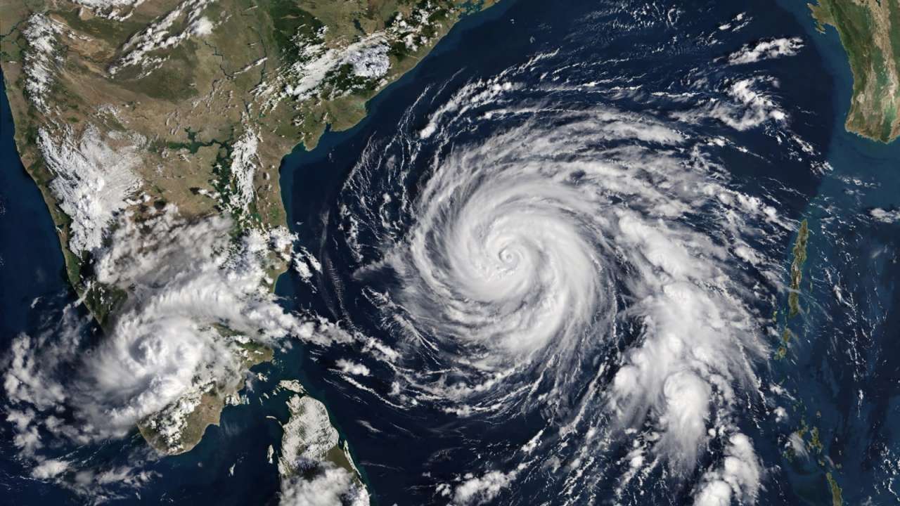 IMD forecasts cyclone over Bay of Bengal, warns of heavy rain across southern India
A possible cyclone over the Bay of Bengal has put several coastal states on alert, with Tamil Nadu expected to witness heavy rainfall in the coming days first. Updated : Oct 24, 2026, 10:06 PM IST The India…
-
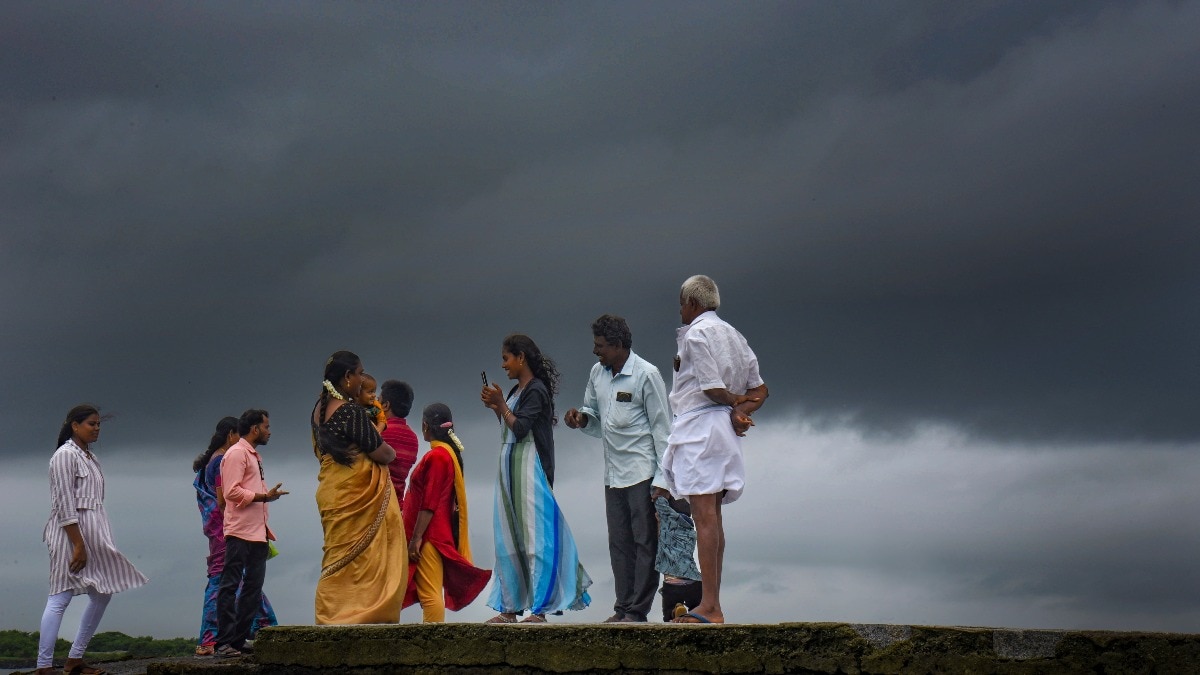 Heavy rain to hit South India on Sunday, Bay system to pick up pace
Heavy to extremely heavy rainfall is likely in parts of south India on Sunday, October 25, as a weather system over the Bay of Bengal is expected to intensify further, according to the India Meteorological Department…
-
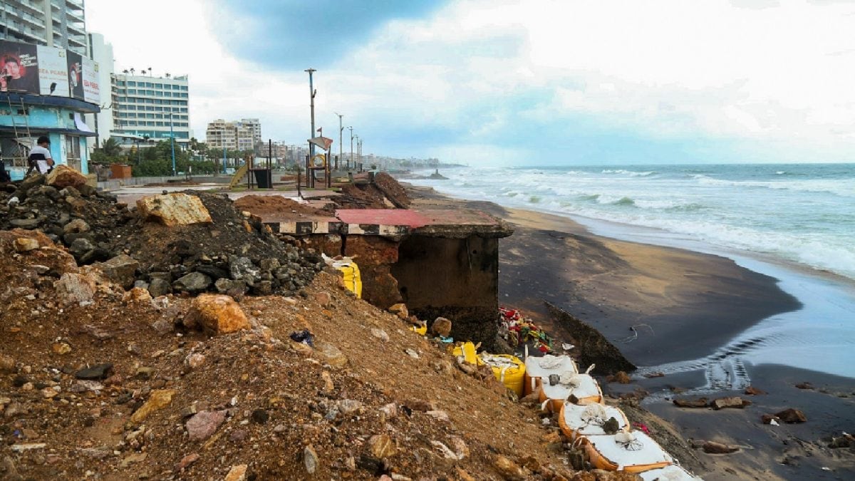 Cyclone ‘Arnab’ LIVE Updates: Deep Depression In Bay Of Bengal; Paddy, Coastal Crops Of Andhra Farmers At Risk
The India Meteorological Department (IMD) has confirmed the formation of Cyclonic Storm Arnab over the east-central and adjoining west-central Bay of Bengal, issuing a cyclone warning for the Andhra Pradesh coast and…
-
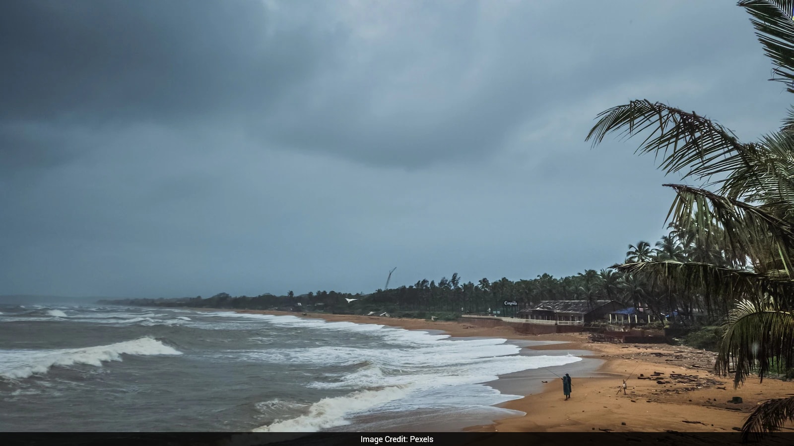 Cyclone Arnab: Origin Of The Name And What You Need To Know
Cyclones can bring strong winds, heavy rainfall and flooding, making it important for states in their expected path to prepare in advance. As Cyclone Arnab approaches the eastern coast of India, Odisha and Andhra…
- IMD Weather Today: Cyclone Arnab Puts Andhra Pradesh And Odisha On High Alert; Check State-Wise Forecast And Safety Advisories
IMD Weather Today: It is Monday, and a small break from all the festivities until the Diwali holidays arrive. While everyone must be running to schools, colleges and universities, it is important for you to check the…
-
 India Weather Alert: Hail, Heavy Rain and Cyclone Watch
Hail hits Rajasthan and Haryana as heavy rain disrupts Tamil Nadu’s Nilgiris. IMD tracks a Bay of Bengal system that may approach Andhra-Odisha by October 28. Rain and hailstorms have disrupted weather across Rajasthan…
-
 Cyclone Arnab to cross AP coast between Bapatla and Vizag on October 28
VISAKHAPATNAM: With wind speeds of up to 140 kmph forecast during landfall, the deep depression over the Bay of Bengal is expected to intensify into a very severe cyclonic storm, and cross the Andhra Pradesh coast…
-
 Cyclonic Storm ‘Arnab’ Forms Over Bay of Bengal, Set to Strike Andhra Coast as Very Severe Cyclone
Home » Cyclonic Storm ‘Arnab’ Forms Over Bay of Bengal, Set to Strike Andhra Coast as Very Severe Cyclone The India Meteorological Department (IMD) has issued a Red Message warning for Andhra Pradesh and adjoining south…
-
 Deep depression intensifies into Cyclonic Storm Arnab
The Odisha Government on Sunday (October 25, 2026) stepped up preparations, mobilising personnel and equipment, while Chief Minister Mohan Charan Majhi deputed eight Ministers to vulnerable districts as a very severe…
-
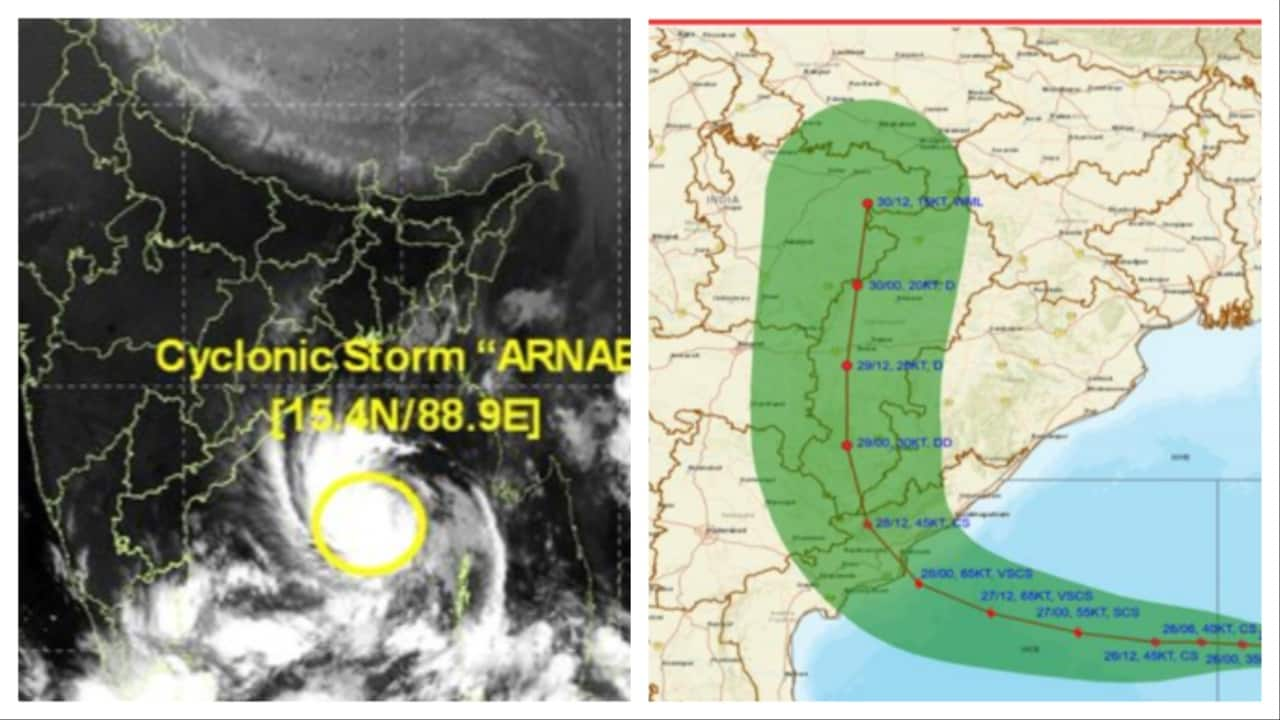 Cyclone Arnab live location: 'Very severe storm' to hit Andhra coast on Oct 28, where is it now?- Moneycontrol.com
The system brewing over the Bay of Bengal is set to cross the Andhra Pradesh coast as a “very severe cyclonic storm” by the forenoon of October 28, with sustained winds of 115-125 kmph gusting up to 140 kmph, the India…
Forecasts, observations and alerts in the United States come from the National Weather Service (NOAA); radar from NOAA's Multi-Radar Multi-Sensor system; satellite imagery from NASA's Global Imagery Browse Services (GIBS) and NOAA's GOES satellites; the map from the U.S. Geological Survey's National Map; air quality from AirNow (EPA and its partners); hurricane information from the National Hurricane Center; climate normals and records from NOAA's Regional Climate Centers (ACIS). Forecasts outside the United States and the UV index: MET Norway (CC BY 4.0); observations outside the U.S.: airport reports via NOAA's Aviation Weather Center. Place names: GeoNames (CC BY 4.0). Data are copied on a schedule and may lag the sources; for warnings that affect your safety, follow your local National Weather Service office and emergency officials. Weather news is drawn from the 4Conservative index and reflects what the press published. Terms of use. How to use Weather