Install
Bāngarda Chhota, Madhya Pradesh, India Weather
Current conditions
Observed at Indore Arpt · 46 min ago
Forecast
10-day-
Monday
Partly cloudy. High 32°.
-
Monday Night
Clear. Low 21°.
-
Tuesday
Sunny. High 31°.
MET Norway forecast updated 3 hrs ago.
Hourly
Hourly forecast- Now22°
- 04:3022°
- 05:3021°
- 06:3022°
- 07:3023°
- 08:3026°
- 09:3029°
- 10:3030°
- 11:3031°
- 12:3032°
- 13:3032°
- 14:3032°
- 15:3031°
- 16:3031°
- 17:3029°
- 18:3028°
- 19:3026°
- 20:3026°
- 21:3025°
- 22:3024°
- 23:3023°
- Tue00:3023°
- 01:3022°
- 02:3022°
Daily forecast
DetailsRadar
Full mapWeather news near Bāngarda Chhota
More weather news- Madhya Pradesh Weather Update: Heavy Rain To Return Before Diwali, Heavy Showers Likely In 5 Districts
Bhopal (Madhya Pradesh): The weather in Madhya Pradesh is likely to change again before Diwali. The India Meteorological Department (IMD), Bhopal, has issued a heavy rain alert for five districts in the eastern part of…
-
 Heavy rain alert for MP on October 28:Weather to change amid Diwali preparations; night temperatures to drop below 13°C
On the other hand, the weather will remain clear across the Bhopal, Indore, Narmadapuram, and Ujjain divisions, where sunny conditions will prevail during the day. No Rain Anywhere for the Next 3 Days The meteorological…
-
 MP Weather Update: Amarkantak Records Season’s Lowest Minimum Temperature At 13°C; Rain Likely In Late October
Madhya Pradesh has received relief from continuous rainfall, with rain activity in the western parts of the state coming to a halt after eight days. According to the India Meteorological Department (IMD), the weather is…
-
 MP’s Amarkantak records minimum temperature of 13°C:No storm or rain alert for next four days; nights turn colder
Rainfall that continued for the past eight days in western Madhya Pradesh has now stopped. The India Meteorological Department (IMD) has not issued any thunderstorm or rainfall alert for any part of the state for the…
-
 Monsoon withdraws from MP, but rain continues for 7 days:Alert issued for 5 Indore division districts today; new system to develop from October 24
Meanwhile, a western disturbance is expected to become active from 24 October. Its effects are likely to be felt across the state after 2 to 3 days. At present, thunderstorms and rain are occurring due to a cyclonic…
-
 MP Weather Update: Rain Alert In Western Districts As Night Temperatures Drop Below 14°C
IMD Weather Alert In Madhya Pradesh: The southwest monsoon withdrew from Madhya Pradesh in the first week of October. However, one last spell of rain is expected in the last week of the month due to the changing weather…
-
 Madhya Pradesh Weather Update: Rain Alert In 11 Districts As New Weather System Approaches, Amarkantak Records 15.8°C; Temperatures To Drop 2°C
Madhya Pradesh weather update: Rainfall continued across Madhya Pradesh on Wednesday, with Indore, Shajapur, Sehore and several other areas receiving showers. According to the India Meteorological Department (IMD)…
-
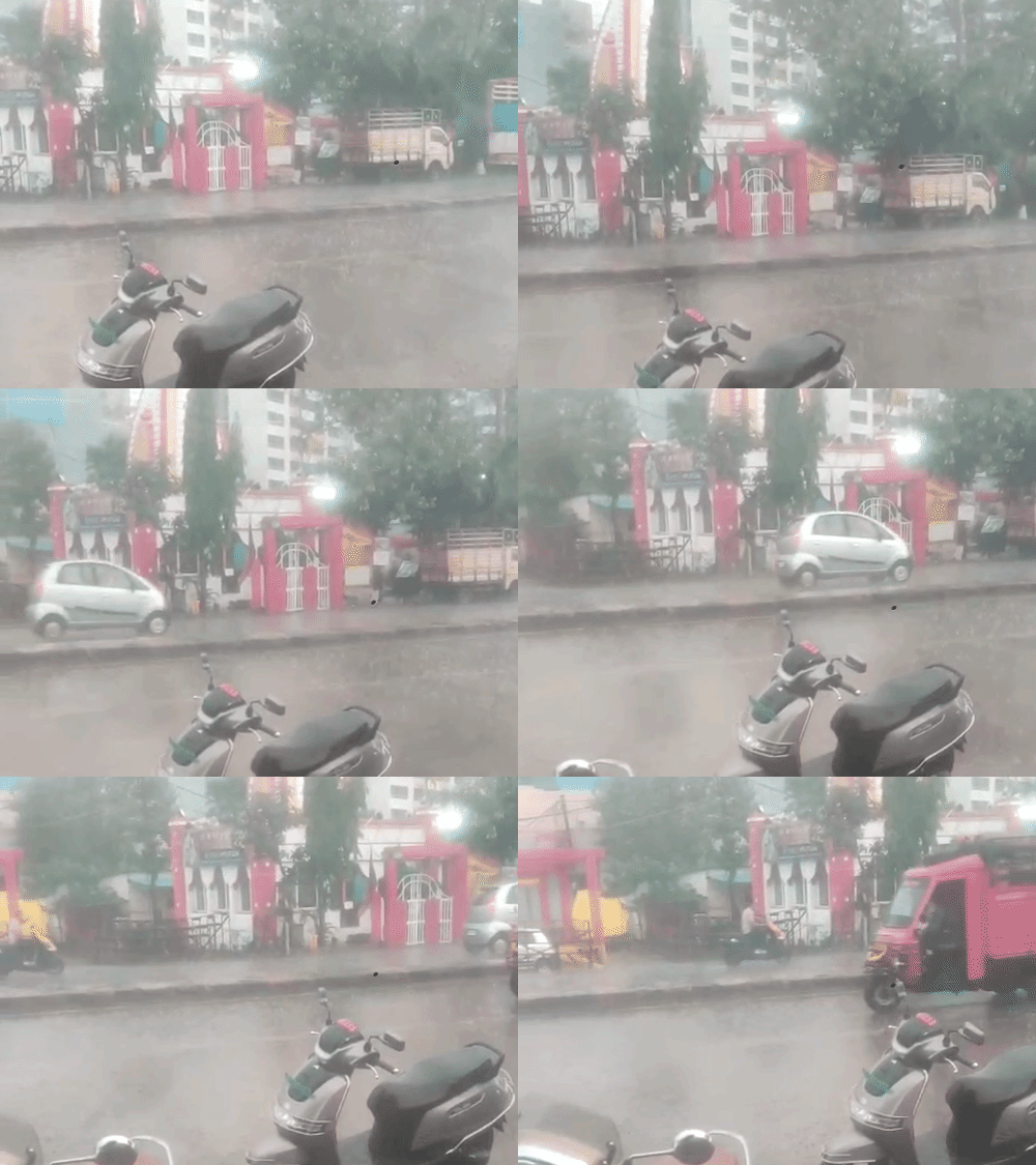 Storm and rain alert in Indore division for the next:Rain in 11 districts of Madhya Pradesh, new system to bring showers from 24 October
Rain will continue in Madhya Pradesh during the last week of October. A new weather system will begin affecting the northwestern parts of the state from 24 October. The Indore division will receive rain over the next…
-
 MP Rain Alert: Rainfall And Thunderstorms To Continue Across State For Two More Days
Madhya Pradesh Weather Update: The western and northern parts of Madhya Pradesh have been experiencing rainfall and thunderstorms for the past five days due to two active cyclonic circulations. According to the India…
-
 Rain alert in MP today, 25 districts on alert:Ravana effigies covered in Bhopal, weather systems active in Indore and Ujjain
Rain alert in MP today, 25 districts on alert: Ravana effigies covered in Bhopal, weather systems active in... Bhaskar English Get the latest news from your city - MP Dussehra Rain Alert | Ravan Effigies Covered In…
Sun & moon
Nearby
Forecasts, observations and alerts in the United States come from the National Weather Service (NOAA); radar from NOAA's Multi-Radar Multi-Sensor system; satellite imagery from NASA's Global Imagery Browse Services (GIBS) and NOAA's GOES satellites; the map from the U.S. Geological Survey's National Map; air quality from AirNow (EPA and its partners); hurricane information from the National Hurricane Center; climate normals and records from NOAA's Regional Climate Centers (ACIS). Forecasts outside the United States and the UV index: MET Norway (CC BY 4.0); observations outside the U.S.: airport reports via NOAA's Aviation Weather Center. Place names: GeoNames (CC BY 4.0). Data are copied on a schedule and may lag the sources; for warnings that affect your safety, follow your local National Weather Service office and emergency officials. Weather news is drawn from the 4Conservative index and reflects what the press published. Terms of use. How to use Weather