Install
Anekal, Karnataka, India Weather
Current conditions
Forecast for this hour (no station report in the last two hours)
Forecast
10-day-
Thursday Night
Heavy rain. Low 21°. Precipitation 1.6 mm for the day.
-
Friday
Heavy rain. High 26°. Precipitation 6.7 mm for the day.
-
Friday Night
Heavy rain. Low 20°. Precipitation 6.7 mm for the day.
MET Norway forecast updated 3 hrs ago.
Hourly
Hourly forecast- Now21°
- 23:3021°
- Fri00:3020°
- 01:3021°
- 02:3021°
- 03:3020°
- 04:3020°
- 05:3020°
- 06:3020°
- 07:3021°
- 08:3022°
- 09:3023°
- 10:3024°
- 11:3026°
- 12:3026°
- 13:3025°
- 14:3025°1.3
- 15:3024°1.1
- 16:3023°0.2
- 17:3022°
- 18:3022°
- 19:3021°0.5
- 20:3021°0.3
- 21:3021°0.9
10-day forecast
DetailsRadar
Full mapWeather news near Anekal
More weather news-
 IMD update: Very heavy rain alert for TN, Puducherry extended to 4 more days
Wednesday’s low-pressure area over the south-west Bay of Bengal, off the Tamil Nadu coast, edged closer to land, with its western flank brushing the coast early on Thursday. The system is helping anchor the north-east…
-
 NCM Predicts Thunderstorms Across Several Regions Of Saudi Arabia Until October 28th
Why Do Kids Go Trick-Or-Treating On Halloween? The… Exclusive: We Unpacked IKEA India’s Food Playbook &… If Your Idea Of Goa Is Sun, Sand… Al Baleed Culinary Festival Returns To Al Baleed… Halloween 2026: 5 Cities…
-
 Bengaluru Weather October 20: IMD Predicts Cloudy Skies, Light Rain, Check Latest Forecast
Bengaluru Weather Today, October 20, 2026: IMD forecasts cloudy skies and light rain or drizzle, with temperatures between 21°C and 28°C. Check today's rainfall outlook and weather conditions. Bengaluru on Tuesday…
-
 IMD Forecasts Isolated Heavy Rain in South Interior Karnataka From October 21 to 24
Bengaluru’s Leading News Portal Bengaluru: The India Meteorological Department has forecast isolated heavy rain over South Interior Karnataka from October 21 to 24, setting out a four-day window in its latest warning…
-
 NHC says 40% chance of cyclone in next 48 hours for storm off US east coast
WSAU NHC says 40% chance of cyclone in next 48 hours for storm off US east coast Oct 20 (Reuters) – A storm-force non-tropical low pressure area located a few hundred miles off the North Carolina has a 40% chance of…
-
 IMD update: Isolated very heavy rain returns to parts of Tamil Nadu, Puducherry
Isolated very heavy rainfall of 11-20 cm is likely over Tamil Nadu, Puducherry and Karaikal on Tuesday and Wednesday as the north-east monsoon approaches the end of its first week over the South Peninsula, with an…
-
 IMD warns of very heavy rain in Tamil Nadu, 7-day wet spell in Kerala
Neeraj Bali Chandigarh, Oct 20 (UNI) union Home Minister Amit Shah arrived in Punjab's Gurdaspur dis By Neeraj Bali Chandigarh, Oct 20 (UNI) Punjab Chief Minister Bhagwant Mann on Tuesday announced th Chennai, Oct 20…
- Bengaluru Rain Alert Brings Relief After Karnataka’s Dry Spell
The India Meteorological Department has forecast isolated heavy rainfall and thunderstorms in Bengaluru and parts of coastal and South Interior Karnataka until October 24, offering some relief after one of the state’s…
-
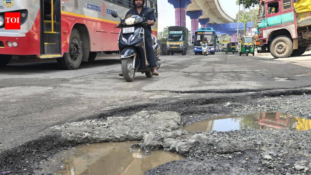 Pleasant Sunday after three days of rain in Bengaluru, but slushy roads remain a concern
The Times of India Bengaluru: Sunday began on a pleasant note for Bengalureans, with light drizzle and cloudy skies keeping temperatures cool across the city However, the rain largely subsided by the afternoon, allowing…
- Bengaluru Traffic Jam Worsens as Dasara Rush Meets Rain
Bengaluru traffic jam conditions worsened across the city’s major outward routes as Dasara travellers left for their hometowns, with rain adding to congestion on Friday and Saturday. Long queues were reported on…
Sun & moon
Nearby
- Bengaluru 31 km
- Hosūr 15 km
- Yelahanka 45 km
- Closepet 45 km
- Electronic City Phase I 16 km
- Channapatna 53 km
- Hoskote 42 km
- Kanakapura 35 km
- Mālūr 42 km
- Mūkondapalli 12 km
- Nelamangala 54 km
- Hebbagodi 13 km
Forecasts, observations and alerts in the United States come from the National Weather Service (NOAA); radar from NOAA's Multi-Radar Multi-Sensor system; satellite imagery from NASA's Global Imagery Browse Services (GIBS) and NOAA's GOES satellites; the map from the U.S. Geological Survey's National Map; air quality from AirNow (EPA and its partners); hurricane information from the National Hurricane Center; climate normals and records from NOAA's Regional Climate Centers (ACIS). Forecasts outside the United States and the UV index: MET Norway (CC BY 4.0); observations outside the U.S.: airport reports via NOAA's Aviation Weather Center. Place names: GeoNames (CC BY 4.0). Data are copied on a schedule and may lag the sources; for warnings that affect your safety, follow your local National Weather Service office and emergency officials. Weather news is drawn from the 4Conservative index and reflects what the press published. Terms of use.