Install
Patrick, Isle of Man Weather
Current conditions
Forecast for this hour (no station report in the last two hours)
Forecast
10-day-
Tuesday
Rain. High 12°. Precipitation 5.6 mm for the day.
-
Tuesday Night
Heavy rain. Low 9°. Precipitation 5.6 mm for the day.
-
Wednesday
Heavy rain. High 10°. Precipitation 10.2 mm for the day.
MET Norway forecast updated 10 hrs ago.
Hourly
Hourly forecast- Now9°0.4
- 23:009°
- Wed00:009°
- 01:009°
- 02:009°
- 03:009°
- 04:008°
- 05:009°
- 06:009°0.2
- 07:009°1.2
- 08:009°1.5
- 09:0010°2.3
- 10:009°1.9
- 11:009°1.2
- 12:009°1.0
- 13:008°0.6
- 14:008°0.3
- 15:009°
- 16:0010°
- 17:0010°
- 18:0010°
- 19:0010°
- 20:009°
- 21:009°
10-day forecast
DetailsRadar
Full mapWeather news near Patrick
More weather news-
 Mild week ahead, with a chance of showers midweek
Highs today will hit our seasonal norm of 90, making for a comfortable start to the work week. A developing area of low pressure is on the way for late Wednesday, bringing a small chance of showers or a thunderstorm as…
-
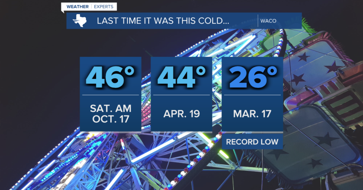 Temperatures drop into the 40s tonight, coldest night since April
Thomas Patrick is the Weekend Meteorologist at 25 News and 15 ABC. CENTRAL TEXAS — After Friday morning's cold front, Central Texas is feeling the full effects of this cooler Fall air. Temperatures dropped to 46 degrees…
-
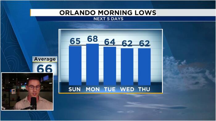 Windy & Cooler Sunday as 60s return to Central Florida
WKMG Jordan Patrick, Certified Meteorologist Windy & Cooler Sunday as 60s return to Central Florida Hundreds honor Brevard County Agent Kevin Morris after fatal I-95 crash Injuries avoided as truck hits school bus in…
- Crisp Austin Saturday Before Temperatures Rocket Back Toward 90 This Week
No rain is expected, and the latest National Weather Service forecast lists no watches, warnings or advisories for the city. The setup is a substantial shift from Friday's wind-focused front, with calmer conditions…
- Austin Wind Advisory Friday Forecast
Austin has about a 30% chance of showers and thunderstorms before 10 a.m. Skies should gradually break up later in the day, with a high near 70 and continued north winds of 15 to 20 mph. In other words, this looks more…
-
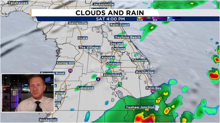 Windy weekend ahead as cold front arrives Saturday morning
WKMG Jordan Patrick, Certified Meteorologist Alligator attacks adult at Winter Garden park Windy weekend ahead as cold front arrives Saturday morning Driver seriously hurt after out-of-control golf cart crashes in…
-
 Breezy & Warmer, Stronger Santa Ana’s West
Gusty Santa Ana winds continue across Southern California through Saturday, with the Coachella Valley staying mild, with temperatures slightly below our seasonal average. The strongest winds are west of the valley near…
-
 Gusty Santa Ana’s coupled with mild conditions
KESQ Temps will be mild, slightly below our seasonal norms well into next week. Gusty Santa Ana winds will blow through SoCal into the weekend. The bulk of the strongest winds will be West of the Valley, but we are…
-
 Patrick's Late Wednesday Forecast 10/15
WDAM-TV Patrick's Late Wednesday Forecast 10/15 National Weather Service releases new preliminary report on Isaias Dense fog in the Pine Belt this morning
-
 Summer humidity and showers today, strong cold front hits Friday
Thomas Patrick is the Weekend Meteorologist at 25 News and 15 ABC. CENTRAL TEXAS — The summer heat and humidity have popped a few summer-like showers and thunderstorms this afternoon. Most of the action has been roughly…
Sun & moon
Nearby
- Douglas 15 km
- Ramsey 24 km
- Peel 2 km
- Port Erin 14 km
- Castletown 15 km
- Portaferry 59 km
Forecasts, observations and alerts in the United States come from the National Weather Service (NOAA); radar from NOAA's Multi-Radar Multi-Sensor system; satellite imagery from NASA's Global Imagery Browse Services (GIBS) and NOAA's GOES satellites; the map from the U.S. Geological Survey's National Map; air quality from AirNow (EPA and its partners); hurricane information from the National Hurricane Center; climate normals and records from NOAA's Regional Climate Centers (ACIS). Forecasts outside the United States and the UV index: MET Norway (CC BY 4.0); observations outside the U.S.: airport reports via NOAA's Aviation Weather Center. Place names: GeoNames (CC BY 4.0). Data are copied on a schedule and may lag the sources; for warnings that affect your safety, follow your local National Weather Service office and emergency officials. Weather news is drawn from the 4Conservative index and reflects what the press published. Terms of use.