Install
Charleville, Munster, Ireland Weather
Current conditions
Forecast for this hour (no station report in the last two hours)
Forecast
10-day-
Tuesday Night
Rain. Low 8°. Precipitation 1.7 mm for the day.
-
Wednesday
Rain. High 10°. Precipitation 6.2 mm for the day.
-
Wednesday Night
Heavy rain. Low 6°. Precipitation 6.2 mm for the day.
MET Norway forecast updated 5 hrs ago.
Hourly
Hourly forecast- Now11°
- 21:0010°
- 22:009°0.2
- 23:008°0.7
- Wed00:007°0.8
- 01:007°0.3
- 02:007°0.2
- 03:007°0.3
- 04:007°0.2
- 05:007°
- 06:007°0.2
- 07:006°
- 08:006°
- 09:006°
- 10:007°
- 11:009°
- 12:0010°
- 13:0010°
- 14:0010°0.2
- 15:0010°
- 16:0010°
- 17:0010°0.3
- 18:009°1.4
- 19:008°0.5
10-day forecast
DetailsRadar
Full mapWeather news near Charleville
More weather news-
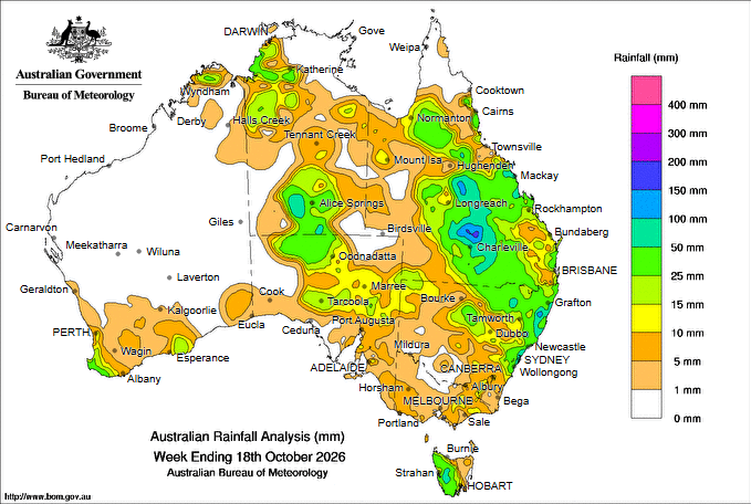 Widespread rain hits Qld and cuts highways, more forecast this week
Rainfall past seven days IN what is shaping as the most influential and widespread rain event in at least eight months, more than 100mm of rain has fallen across parts of Queensland, cutting highways and reducing…
-
 South East Queensland warned to brace for severe storms and rainfall in coming days
Residents in South East Queensland are urged to keep the brolly close by, as the region prepares for more rain after already experiencing days of heavy showers. The Sunshine State has experienced steady rain over the…
- Millions warned to expect months’ worth of rain in just a few days
Updated October 19, 2026 - 9.51pm. First published at 9.41pm South-east Queensland is preparing for a wild week of storms, with some areas expected to receive more than two months’ worth of rain by the weekend. Today…
- Showers for most of Queensland this week and potential severe storms
Storm clouds over Ward Road at Tambo, Queensland on Sunday. (Supplied: Cindy O'Connor) The Bureau of Meteorology says Queensland is facing a week of unsettled weather with most of the state to experience shower…
-
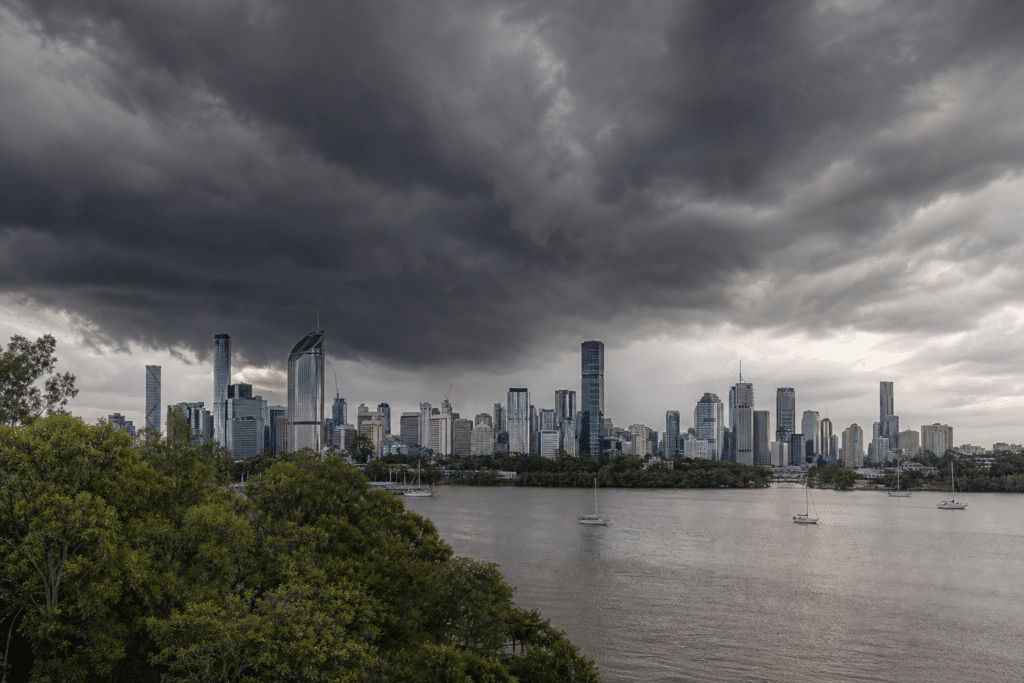 Queensland braces for week of showers and storms
Oz Arab Media According to ABC News, Queensland is facing an unsettled week, with showers expected across most of the state and storm activity continuing in changing locations. The Bureau of Meteorology says a…
- Strong winds and storms in central Queensland set to roll into weekend
A lightning storm passed over properties in the Charleville region into Thursday evening. (Supplied: Nick Sheehan) Storms that have lashed parts of central Queensland could continue through the weekend and reach parts…
-
 Ireland weather: Storm Austen turns black as Met Eireann gamechanger set to strike this weekend
Very strong winds are set to strike Ireland this weekend. (Image: WXCharts.com) The first storm of the season is likely to be named Storm Austen in the coming days, according to new weather charts. In newly published…
-
 Dublin hit with two weather warnings as Storm Austen set to hit Ireland
Dublin has been issued two weather warnings this week as Storm Austen is set to hit Ireland. A Status Yellow rain warning has been issued for Dublin and Wicklow as heavy rain is set to hit overnight. The warning will be…
- Weather Today
Weather Forecast and Conditions for Irish Town, Magalia, California - The Weather Channel | Weather.com The Weather Channel Irish Town, Magalia, California Irish Town Daily Forecast
-
 Rain warning for Galway on Thursday
A yellow weather warning has been issued for Galway and all of Ireland on Thursday with Storm Austen to bring heavy rain across the country. The status yell rain warning will be in place from 7pm Thursday until 9am on…
Sun & moon
Nearby
- Cork 52 km
- Limerick 35 km
- Ennis 59 km
- Douglas 56 km
- Ballincollig 52 km
- Castletroy 37 km
- Mallow 24 km
- Midleton 59 km
- Shannon 41 km
- Glanmire 52 km
- Newcastle West 28 km
- Fermoy 37 km
Forecasts, observations and alerts in the United States come from the National Weather Service (NOAA); radar from NOAA's Multi-Radar Multi-Sensor system; satellite imagery from NASA's Global Imagery Browse Services (GIBS) and NOAA's GOES satellites; the map from the U.S. Geological Survey's National Map; air quality from AirNow (EPA and its partners); hurricane information from the National Hurricane Center; climate normals and records from NOAA's Regional Climate Centers (ACIS). Forecasts outside the United States and the UV index: MET Norway (CC BY 4.0); observations outside the U.S.: airport reports via NOAA's Aviation Weather Center. Place names: GeoNames (CC BY 4.0). Data are copied on a schedule and may lag the sources; for warnings that affect your safety, follow your local National Weather Service office and emergency officials. Weather news is drawn from the 4Conservative index and reflects what the press published. Terms of use.