Install
Metro, Lampung, Indonesia Weather
Current conditions
Forecast for this hour (no station report in the last two hours)
Forecast
10-day-
Wednesday
Light showers. High 35°. Precipitation 0.5 mm for the day.
-
Wednesday Night
Partly cloudy. Low 24°. Precipitation 0.5 mm for the day.
-
Thursday
Light showers. High 36°. Precipitation 0.2 mm for the day.
MET Norway forecast updated 14 hrs ago.
Hourly
Hourly forecast- Now28°
- 21:0027°
- 22:0027°
- 23:0027°
- Thu00:0026°
- 01:0026°
- 02:0025°
- 03:0025°
- 04:0025°
- 05:0024°
- 06:0024°
- 07:0026°
- 08:0028°
- 09:0030°
- 10:0032°
- 11:0033°
- 12:0035°
- 13:0036°
- 14:0036°
- 15:0035°
- 16:0035°
- 17:0031°
- 18:0028°
- 19:0028°
10-day forecast
Details- TodayOct 21Light showers0.5 mm24°35°
- ThuOct 22Light showers24°36°
- FriOct 23Light showers1.1 mm25°34°
- SatOct 24Light rain1.5 mm24°34°
- SunOct 25Showers3.6 mm24°34°
- MonOct 26Heavy rain16.7 mm24°34°
- TueOct 27Heavy rain14.3 mm23°32°
- WedOct 28Heavy rain11.7 mm23°31°
- ThuOct 29Heavy rain9.0 mm24°28°
- FriOct 30Showers1.3 mm24°32°
Radar
Full mapWeather news near Metro
More weather news-
 Feeling Like Fall! Cool, dry conditions prevail for Metro Atlanta this week
After a relentless Summer that continued well into the Fall season, perfect Autumnal weather will stick around this week. — After a relentless Summer that continued well into the Fall season, we are rewarded with…
-
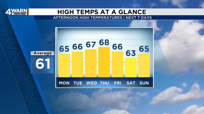 More sunshine and warmer temperatures across Metro Detroit this week
4Warn Weather - Southeast Michigan has a beautiful stretch of Fall weather this week! High pressure will keep skies mainly clear as temperatures gradually warm into the midweek. Skies are clear this evening with winds…
-
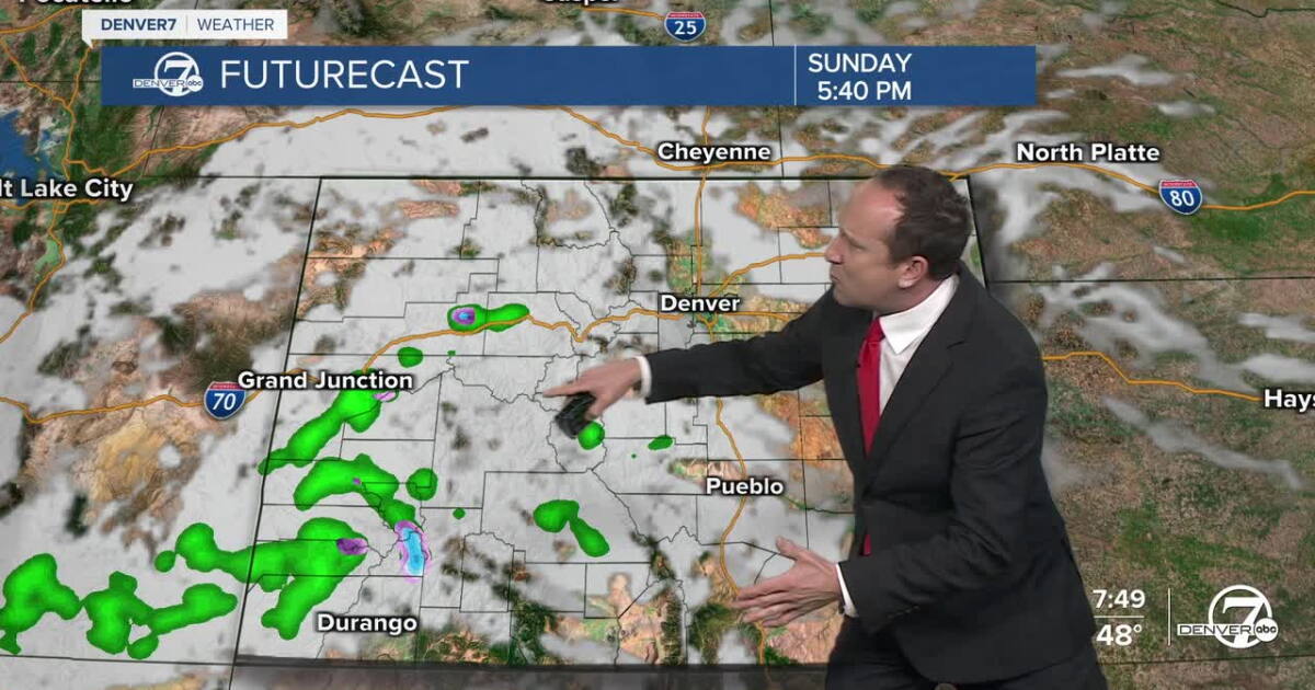 Warm and dry conditions on Sunday for metro Denver and much of Colorado
Denver7 It will be another stunner of a day from Frisco and Fort Collins to Boulder and Denver Skies will be more mixed at times today, featuring a slight increase in clouds as a weak wave moves from California into…
-
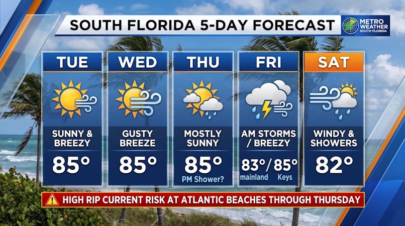 South Florida Forecast: Breezy Sun, Mid-80s Warmth, and Dangerous Atlantic Rip Currents
Donna Thomas has studied hurricanes for two decades. She holds a PhD in history when her experience with Hurricane Andrew ultimately led her to earn a degree in broadcast meteorology from Mississippi State University…
-
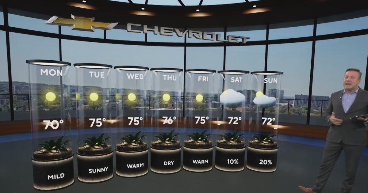 Sunshine and chilly mornings all week in Atlanta before weekend rain chances
CBS News Atlanta is a local news organization that is part of CBS News and Stations. Also referred to as WUPA and channel 69, CBS News Atlanta offers local breaking news, weather coverage and investigative reporting…
-
 Warm, dry stretch continues Monday in the Twin Cities
Updated on: October 19, 2026 / 6:37 AM CDT / CBS Minnesota Sunshine and warmer temperatures reign both Monday and Tuesday in the Twin Cities with highs pushing near 70 degrees. Wednesday and Thursday will be dry and…
-
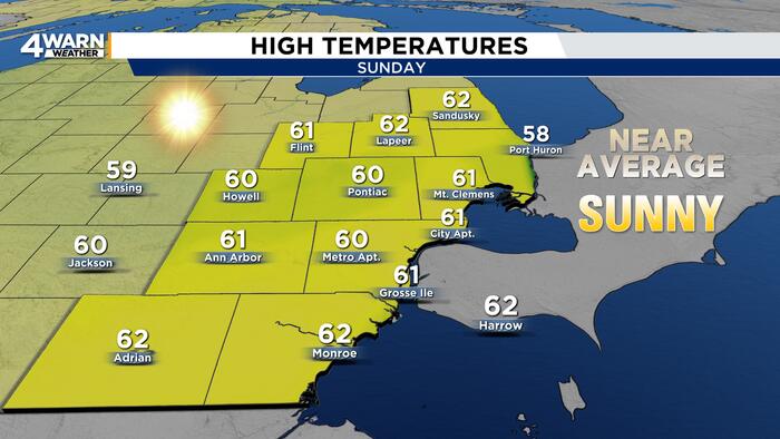 Marathon stretch of sunshine in Metro Detroit with warmer temps
4Warn Weather — Runners and spectators at the Detroit Free Press Marathon had a chilly start to Sunday’s race, but sunshine and a gradual warmup will make for a more comfortable afternoon. Metro Detroit started the…
-
 Adelaide weather forecast for Tuesday October 20th and the days ahead
Happy Tuesday! Here's a look at the weather today and what's to come for the rest of the week. Share Tweet Share Share Email Comments Adelaide is set for a changeable week of spring weather, with a possible severe storm…
-
 Dry skies throughout the next 7 days; Mild highs and comfortably cool lows
NEW ORLEANS (WVUE) - Late October into early November is the driest time of the year. The weather pattern will follow suit with no rain over the next seven to 10 days. A light breeze will keep conditions comfortable…
-
 Very warm through Wednesday
High pressure is holding firm and blocking most Pacific weather systems from moving inland. This setup continues through Friday with just one weak cold front passing through Thursday. A warm and dry east wind starts…
Sun & moon
Nearby
- Bandar Lampung 36 km
- Terbanggi Besar 28 km
- Kotabumi 57 km
Forecasts, observations and alerts in the United States come from the National Weather Service (NOAA); radar from NOAA's Multi-Radar Multi-Sensor system; satellite imagery from NASA's Global Imagery Browse Services (GIBS) and NOAA's GOES satellites; the map from the U.S. Geological Survey's National Map; air quality from AirNow (EPA and its partners); hurricane information from the National Hurricane Center; climate normals and records from NOAA's Regional Climate Centers (ACIS). Forecasts outside the United States and the UV index: MET Norway (CC BY 4.0); observations outside the U.S.: airport reports via NOAA's Aviation Weather Center. Place names: GeoNames (CC BY 4.0). Data are copied on a schedule and may lag the sources; for warnings that affect your safety, follow your local National Weather Service office and emergency officials. Weather news is drawn from the 4Conservative index and reflects what the press published. Terms of use.