Install
Lawang, East Java, Indonesia Weather
Current conditions
Forecast for this hour (no station report in the last two hours)
Forecast
10-day-
Wednesday
Light showers. High 31°. Precipitation 0.2 mm for the day.
-
Wednesday Night
Mostly clear. Low 21°. Precipitation 0.2 mm for the day.
-
Thursday
Partly cloudy. High 31°.
MET Norway forecast updated 3 hrs ago.
Hourly
Hourly forecast- Now21°
- Wed00:0021°
- 01:0021°
- 02:0021°
- 03:0021°
- 04:0021°
- 05:0021°
- 06:0022°
- 07:0025°
- 08:0026°
- 09:0028°
- 10:0029°0.2
- 11:0030°
- 12:0031°
- 13:0031°
- 14:0031°
- 15:0029°
- 16:0028°
- 17:0026°
- 18:0025°
- 19:0024°
- 20:0023°
- 21:0023°
- 22:0022°
Daily forecast
DetailsRadar
Full mapWeather news near Lawang
More weather news-
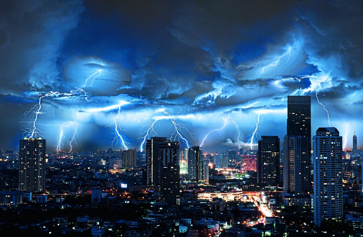 Thunderstorms and heavy rain forecast for 13 states, KL and Putrajaya until 5pm
PETALING JAYA: The Malaysian Meteorological Department (MetMalaysia) has issued a warning of thunderstorms, heavy rain and strong winds across 13 states and two Federal Territories, effective until 5pm on Saturday (Oct…
-
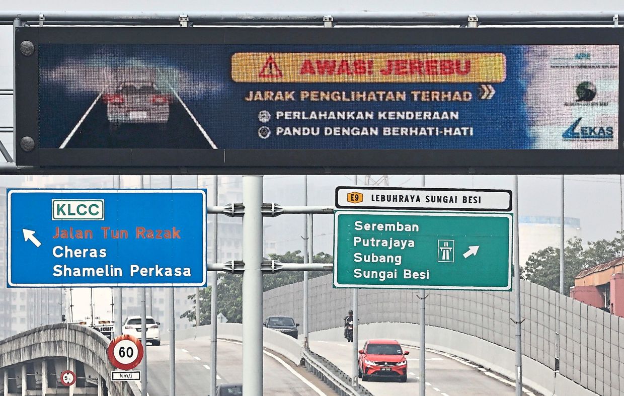 Alert Level 3 in parts of South-East Asia
PETALING JAYA: The Asean Specialised Meteorological Centre (ASMC) has issued Alert Level 3 for southern South-East Asia, signalling a high risk of severe transboundary haze as dry weather and widespread hotspots…
-
 ‘Very unhealthy’ air quality in Pasir Gudang, Larkin eases this morning
The air quality at Larkin, Johor, which also recorded 202 yesterday, was 176 today. Other places in Johor also had unhealthy readings, including Pengerang (173), Kota Tinggi (172), Batu Pahat (170), Tangkak (168)…
-
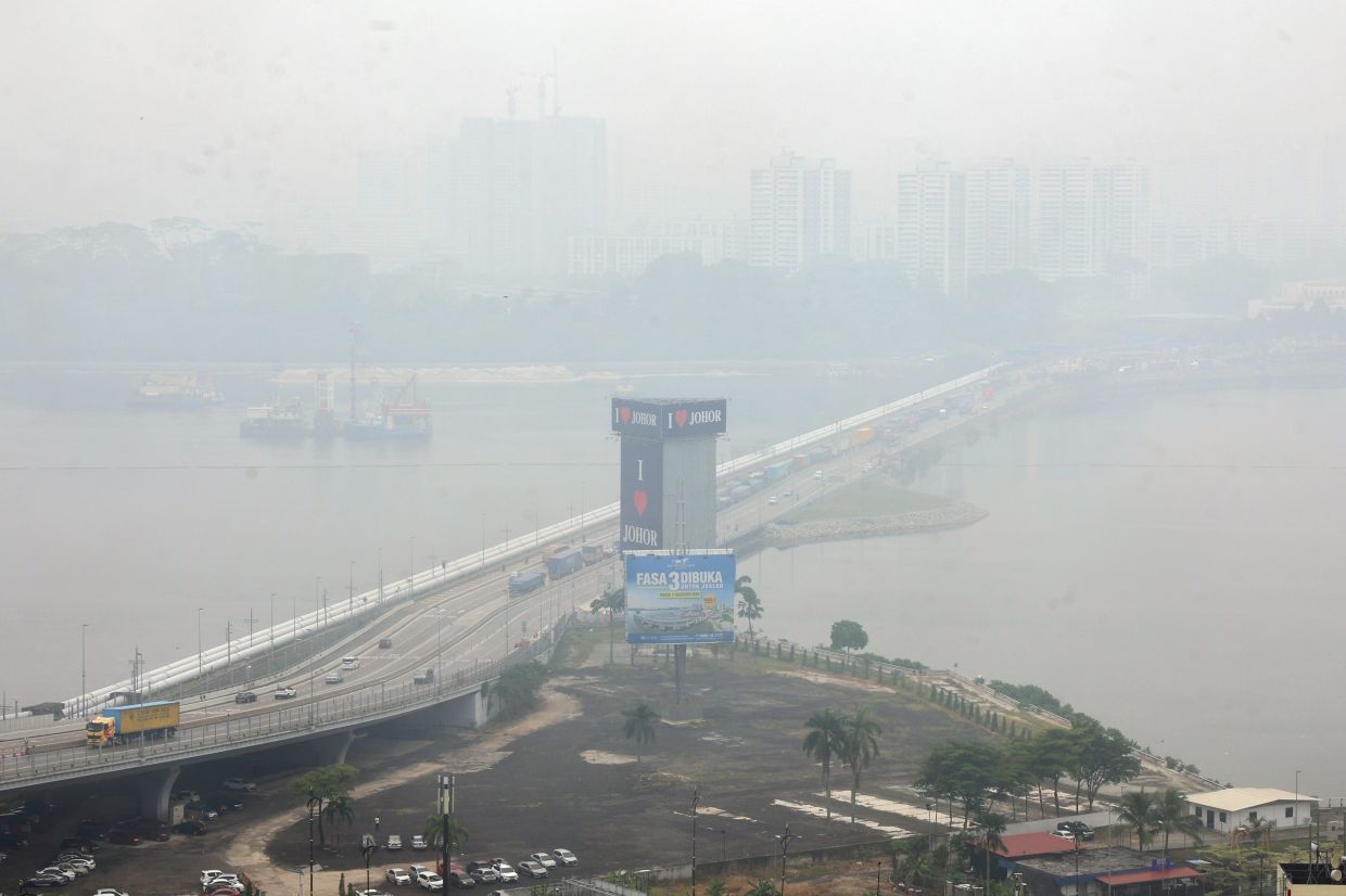 Haze: Pasir Gudang, Larkin hit 'very unhealthy' API reading, 27 other areas in 'unhealthy' range as at 4pm
According to APIMS, six other areas in Johor are in the unhealthy API range: Pengerang with a reading of 181, Batu Pahat and Kota Tinggi (both 171), Kluang (168), Tangkak (159) and Segamat (156). In Selangor, six areas…
-
 Five ways El Niño is affecting the weather around the world
El Niño has been strengthening for several months now and is already having a significant impact on global weather patterns. Countries including Indonesia, India and the United States have been experiencing droughts…
- A ‘super’ El Niño is impacting weather globally – here's how it could affect travel plans now and in the future
El Niño has officially arrived, and some forecasters are suggesting it could eventually develop into a rare “super” event capable of dramatically altering weather patterns across much of the planet, from the safari…
- Japan Declares Latest El Niño the Strongest on Record as Global Experts Debate Pacific Warming Metrics
Japan Meteorological Agency (JMA) recently confirmed that the current El Niño warming phenomenon is the most severe one in the history of monitoring dating back to 1949. According to JMA statistics, water temperatures…
- Torrential downpours forecast nationwide
Thai Public Broadcasting Service 145 Vibhavadi Rangsit Rd, Bangkok 10900 The Meteorological Department has issued its first severe weather warning of the season, cautioning residents across large swathes of Thailand to…
-
 BMKG: Haze from Forest Fires Briefly Detected in Jabodetabek, Now Moving Away
This article was translated by AI. Read the original article on Kompas.com. See Original JAKARTA, KOMPAS.com - The Meteorology, Climatology, and Geophysical Agency (BMKG) has observed that the haze from forest and land…
- ASEAN Meteorological Centre activates highest alert level over haze — Asharq Al-Awsat
The ASEAN Specialized Meteorological Centre has activated a level-three alert for the southern part of the region due to thick smoke from fires in Indonesia. The haze is disrupting daily life in several Southeast Asian…
Sun & moon
Nearby
Forecasts, observations and alerts in the United States come from the National Weather Service (NOAA); radar from NOAA's Multi-Radar Multi-Sensor system; satellite imagery from NASA's Global Imagery Browse Services (GIBS) and NOAA's GOES satellites; the map from the U.S. Geological Survey's National Map; air quality from AirNow (EPA and its partners); hurricane information from the National Hurricane Center; climate normals and records from NOAA's Regional Climate Centers (ACIS). Forecasts outside the United States and the UV index: MET Norway (CC BY 4.0); observations outside the U.S.: airport reports via NOAA's Aviation Weather Center. Place names: GeoNames (CC BY 4.0). Data are copied on a schedule and may lag the sources; for warnings that affect your safety, follow your local National Weather Service office and emergency officials. Weather news is drawn from the 4Conservative index and reflects what the press published. Terms of use.