Install
Ferrier, Nord-Est, Haiti Weather
Current conditions
Forecast for this hour (no station report in the last two hours)
Forecast
10-day-
Wednesday
Light showers. High 32°. Precipitation 2.5 mm for the day.
-
Wednesday Night
Light showers. Low 23°. Precipitation 2.5 mm for the day.
-
Thursday
Heavy rain. High 32°. Precipitation 1.8 mm for the day.
MET Norway forecast updated 20 hrs ago.
Hourly
Hourly forecast- Now24°
- 02:0024°
- 03:0024°
- 04:0023°
- 05:0023°
- 06:0023°
- 07:0023°
- 08:0024°
- 09:0026°
- 10:0027°0.2
- 11:0028°
- 12:0030°
- 13:0032°
- 14:0031°0.5
- 15:0029°0.2
- 16:0029°0.4
- 17:0028°0.8
- 18:0025°0.2
- 19:0025°
- 20:0025°
- 21:0024°
- 22:0024°
- 23:0024°
- Thu00:0024°
Daily forecast
DetailsRadar
Full mapWeather news near Ferrier
More weather news-
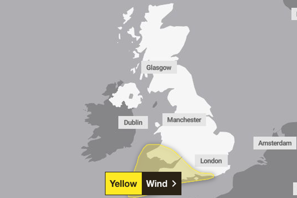 Met Office weather warning issued as 70mph winds set to hit UK this week
Winds of up to 70mph could hit a large part of England and Wales this week, the Met Office has warned. A yellow weather warning for wind has been issued across the south of England and much of Wales for Friday up until…
-
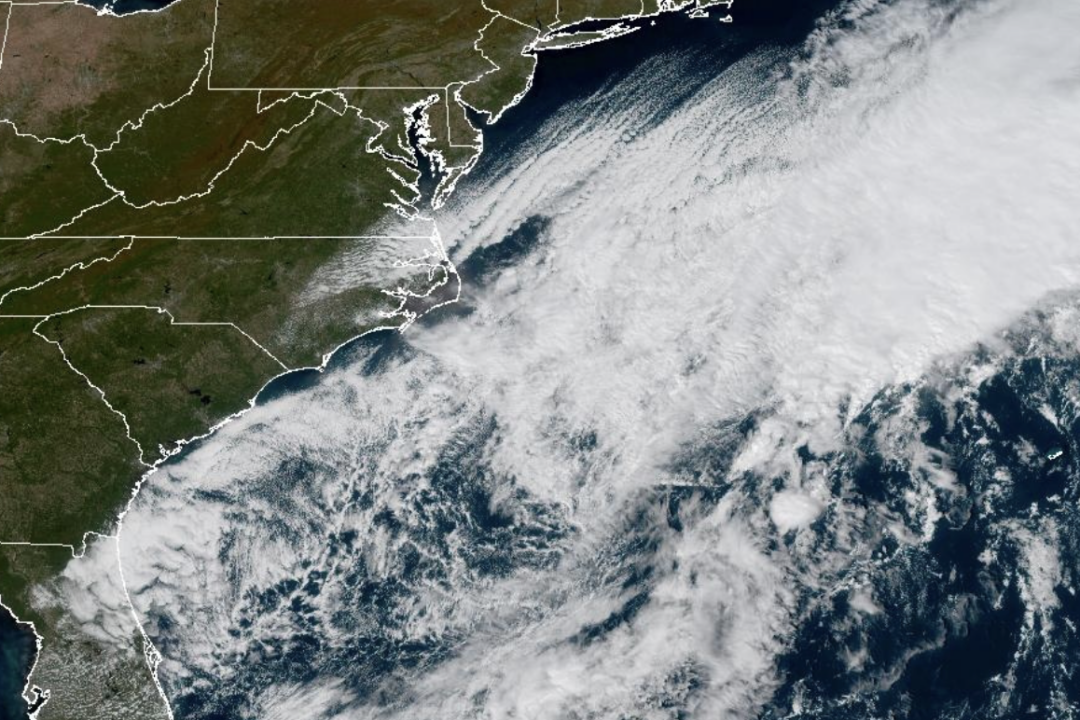 Weather System Off North Carolina Could Become Nor’Easter or Tropical Storm: What to Know
The National Weather Service and its National Hurricane Center are tracking a storm system sitting off the coast of North Carolina that has the opportunity to become either a proper Nor’easter or a Tropical Storm and is…
-
 Ocracoke travelers urged to reconsider plans as nor’easter nears
A long-duration coastal storm is forecast to bring coastal flooding, overwash and possible ferry disruptions around Ocracoke, prompting fresh warnings for late-October travel. Travelers bound for Ocracoke Island over…
- Grand Rapids Basks in Sunny Sunday as Quiet Fall Week Settles In
Temperatures should climb from the low 40s early to the upper 50s late afternoon, with southwest winds around 7 to 13 mph and gusts up to 26 mph. Sunday night stays clear, with a low near 41 and temperatures edging back…
- Grand Rapids Weather: Rain, Wind And Frost Ahead
Grand Rapids is starting Friday under cloudy skies and temperatures in the mid-50s, but the relatively mild morning will not last. Rain showers, gusty northwest winds and a sharp evening cooldown are lined up for the…
-
 Hatteras-Ocracoke ferry route will shift to offseason schedule Tuesday
MANTEO, N.C. (WAVY) — The North Carolina Ferry Division will transition the Hatteras-Ocracoke vehicle ferry route to its offseason schedule starting Tuesday, subject to weather conditions. The change will reduce service…
- Hurricane Simon Strengthens to 110 MPH as Mexico’s Pacific Coast Remains on Alert
Hurricane Simon has strengthened again off Mexico’s Pacific coast, reaching sustained winds of 110 mph (175 km/h) as the storm moves slowly west of Cabo Corrientes, according to the US National Hurricane Center. The…
-
 Travelers Urged to Prepare for Possible Impacts to N.C. 12 from Weather System
JavaScript Required JavaScript must be enabled to use some features of this site. For further assistance, call us at 1-877-DOT-4YOU ( 1-877-368-4968). For DMV questions, call us at 919-715-7000. Our mailing address is…
-
 Istanbul cancels ferry services as storms threaten city with severe rain
Istanbul canceled several ferry services on Friday as authorities warned of heavy rain and strong winds across the city and parts of western Türkiye. Sehir Hatlari, operated by the Istanbul Metropolitan Municipality…
- Nor’easter Taking Shape Offshore Leaves Philadelphia Impact Undecided
A nor'easter forming over the Atlantic could bring gusts of up to 60 mph to parts of the mid-Atlantic coast beginning late Saturday night. Philadelphia Patch reported on Friday, Oct. 16, that forecasters have not…
Sun & moon
Nearby
- Cap-Haïtien 47 km
- Saint-Raphaël 48 km
- Terrier Rouge 19 km
- Hinche 58 km
- San Fernando de Monte Cristi 29 km
- Dajabón 10 km
- San Ignacio de Sabaneta 48 km
- Villa Vásquez 37 km
- Fort Liberté 8 km
- Trou du Nord 26 km
- Las Matas de Santa Cruz 29 km
- Ouanaminthe 9 km
Forecasts, observations and alerts in the United States come from the National Weather Service (NOAA); radar from NOAA's Multi-Radar Multi-Sensor system; satellite imagery from NASA's Global Imagery Browse Services (GIBS) and NOAA's GOES satellites; the map from the U.S. Geological Survey's National Map; air quality from AirNow (EPA and its partners); hurricane information from the National Hurricane Center; climate normals and records from NOAA's Regional Climate Centers (ACIS). Forecasts outside the United States and the UV index: MET Norway (CC BY 4.0); observations outside the U.S.: airport reports via NOAA's Aviation Weather Center. Place names: GeoNames (CC BY 4.0). Data are copied on a schedule and may lag the sources; for warnings that affect your safety, follow your local National Weather Service office and emergency officials. Weather news is drawn from the 4Conservative index and reflects what the press published. Terms of use.