Install
Santa Ana, Petén, Guatemala Weather
Current conditions
Forecast for this hour (no station report in the last two hours)
Forecast
10-day-
Sunday
Light showers. High 28°. Precipitation 0.4 mm for the day.
-
Sunday Night
Mostly clear. Low 21°. Precipitation 0.4 mm for the day.
-
Monday
Light showers. High 28°. Precipitation 0.3 mm for the day.
MET Norway forecast updated 2 hrs ago.
Hourly
Hourly forecast- Now24°0.2
- 10:0025°
- 11:0026°
- 12:0027°
- 13:0028°
- 14:0028°
- 15:0028°
- 16:0027°
- 17:0026°
- 18:0024°
- 19:0023°
- 20:0022°
- 21:0022°
- 22:0022°
- 23:0021°
- Mon00:0021°
- 01:0020°
- 02:0020°
- 03:0020°
- 04:0019°
- 05:0019°
- 06:0019°
- 07:0021°
- 08:0023°
10-day forecast
DetailsRadar
Full mapWeather news near Santa Ana
More weather news-
 Be prepared for strong thunderstorms in the Orange County and Santa Ana Mountains area Friday evening
Santa Ana Mountains/Foothills, Orange County Coast, Orange County and San Bernardino and Riverside County Valleys were placed under an updated report for strong thunderstorms by the National Weather Service on Friday at…
-
 North County weather whiplash: Roasty to rainy, historic high tides
North San Diego County experienced another sharp October weather reversal over the past week, as warm Santa Ana conditions gave way to cooler temperatures, gusty winds and widespread showers that brought more than an…
- Tropical Cyclone Names
With an estimated sustained wind speed of 213 mph (185 kt / 325 km/h), Patricia became the strongest tropical cyclone (for wind speed) observed in the Western Hemisphere, October 23, 2015. The minimum air pressure of…
-
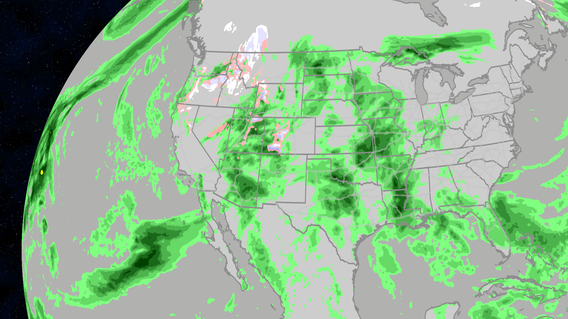 Halloween 2026 forecast: Who will see rain or snow?
The Weather Channel Halloween forecast: Will your weather impact your costume choices? Halloween is just a week away, and the weather may want you to change your costume. Much of the East may be clear and warm enough to…
-
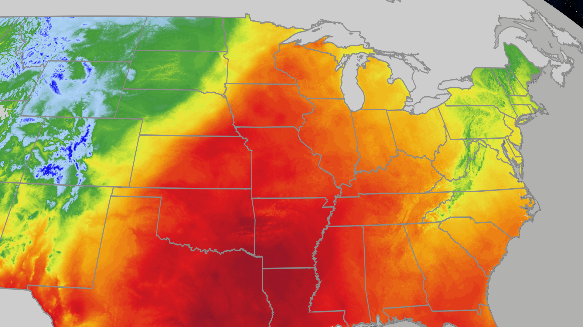 Great Lakes see highs in the 70s and 80s this weekend
The Weather Channel Kansas City, St. Louis, Chicago all in the 70s this weekend The Great Lakes will see highs in the 70s and 80s the rest of the weekend. Kansas City, Chicago and St. Louis are in the 70s. Highs are…
-
 Strong storms batter Southland, possible tornado investigated
Strong thunderstorms swept across the Southland Thursday, prompting flash flood warnings, severe thunderstorm warnings and numerous flood advisories, while weather officials investigated a possible tornado in Orange…
- Southland Preps for More Storms, Possible Tornado
Strong thunderstorms swept across the Southland Thursday, prompting flash flood warnings, severe thunderstorm warnings and numerous flood advisories, while weather officials investigated a possible tornado in Orange…
-
 Mapped: Where in OC did the most rain fall in latest storm?
The foothills of the Santa Ana Mountains got the most rain as the latest storm swept across the county Wednesday into Thursday, Oct. 22. Orange County saw a median 0.3 inches of rain in the 24 hours ending at 8 a.m…
-
 Weather alert announced for strong thunderstorms in the Orange County and Santa Ana Mountains area Wednesday evening
The Orange County and Santa Ana Mountains area is the focus of a weather alert for strong thunderstorms issued at 5:49 p.m. on Wednesday by the National Weather Service. The alert is in effect until 6:30 p.m. Residents…
-
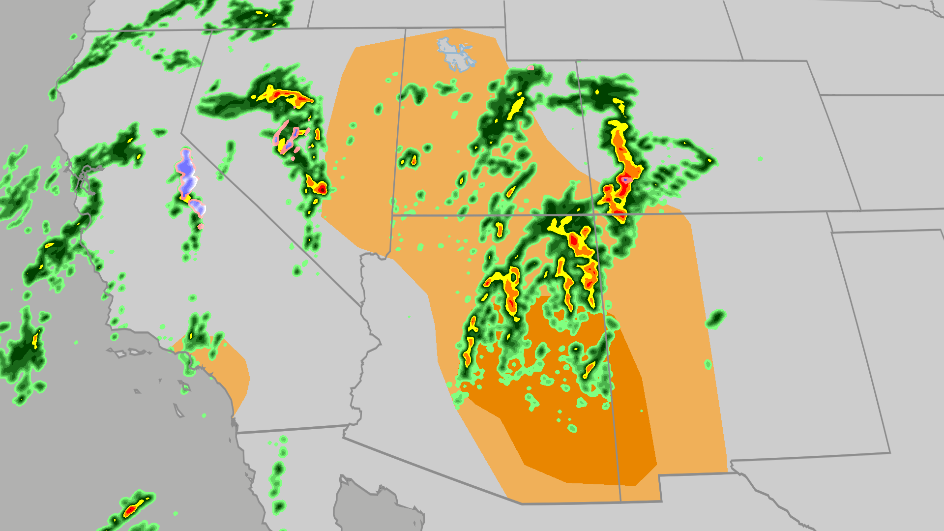 Severe weather, flood risk across Four Corners, California
The Weather Channel Tornadoes, flooding, large hail possible in Four Corners, California Parts of the Four Corners and Southern California face an elevated risk of severe weather on Thursday, which includes the…
Sun & moon
Nearby
- San Benito 16 km
- Flores 15 km
- Dolores 55 km
- Sayaxché 50 km
- La Libertad 31 km
- San Andrés 20 km
- San Francisco 12 km
Forecasts, observations and alerts in the United States come from the National Weather Service (NOAA); radar from NOAA's Multi-Radar Multi-Sensor system; satellite imagery from NASA's Global Imagery Browse Services (GIBS) and NOAA's GOES satellites; the map from the U.S. Geological Survey's National Map; air quality from AirNow (EPA and its partners); hurricane information from the National Hurricane Center; climate normals and records from NOAA's Regional Climate Centers (ACIS). Forecasts outside the United States and the UV index: MET Norway (CC BY 4.0); observations outside the U.S.: airport reports via NOAA's Aviation Weather Center. Place names: GeoNames (CC BY 4.0). Data are copied on a schedule and may lag the sources; for warnings that affect your safety, follow your local National Weather Service office and emergency officials. Weather news is drawn from the 4Conservative index and reflects what the press published. Terms of use. How to use Weather