Install
San Luis, Petén, Guatemala Weather
Current conditions
Forecast for this hour (no station report in the last two hours)
Forecast
10-day-
Friday
Light showers. High 28°. Precipitation 0.6 mm for the day.
-
Friday Night
Light rain. Low 21°. Precipitation 0.6 mm for the day.
-
Saturday
Rain. High 28°. Precipitation 0.8 mm for the day.
MET Norway forecast updated 11 hrs ago.
Hourly
Hourly forecast- Now21°
- 05:0021°
- 06:0021°
- 07:0021°
- 08:0022°
- 09:0023°
- 10:0024°0.2
- 11:0026°
- 12:0027°
- 13:0028°
- 14:0028°
- 15:0027°
- 16:0027°
- 17:0025°
- 18:0023°
- 19:0023°
- 20:0022°
- 21:0022°
- 22:0022°
- 23:0022°
- Sat00:0021°
- 01:0021°
- 02:0020°
- 03:0020°
Daily forecast
DetailsRadar
Full mapWeather news near San Luis
More weather news-
 ‘Weather Whiplash’ Bringing Back Rain and Snow to California
A “weather whiplash” will continue taking Californians for a ride this week, as last week’s high temperatures and blustery winds give way to clouds, rain and snow in the mountains. This week, the stormy weather returns…
- This SLO County heat wave will end soon. Once it does, be prepared for some rain
A live data feed from the National Weather Service containing official weather warnings, watches, and advisory statements. Tap warning areas for more details. Sources: NOAA, National Weather Service, NOAA GeoPlatform…
-
 Santa Ana winds ease Saturday, but offshore breezes linger early
by Chief Meteorologist Ilya Neyman BAKERSFIELD, Calif. (KBAK/KBFX) — The first "Santa Ana wind" event of the season is winding down after a couple blustery days across Kern County. Thursday's east/northeasterly winds…
-
 South Fork Visitor Center offers free winter coats as cold weather arrives
SOUTH FORK — Fresh snow on the high peaks and recent rain across the San Luis Valley are clear signs that the seasons are changing. With colder weather moving into the region, families are preparing for frosty mornings…
-
 Heat Advisory continues until 8 pm on Saturday, much cooler next week
Here is your Central Coast weather forecast for San Luis Obispo County and Santa Barbara County from Meteorologist Jim Castillo Mountain & Foothill Wind Speeds Red Flag Warnings end at 6 pm but gusty winds are still…
-
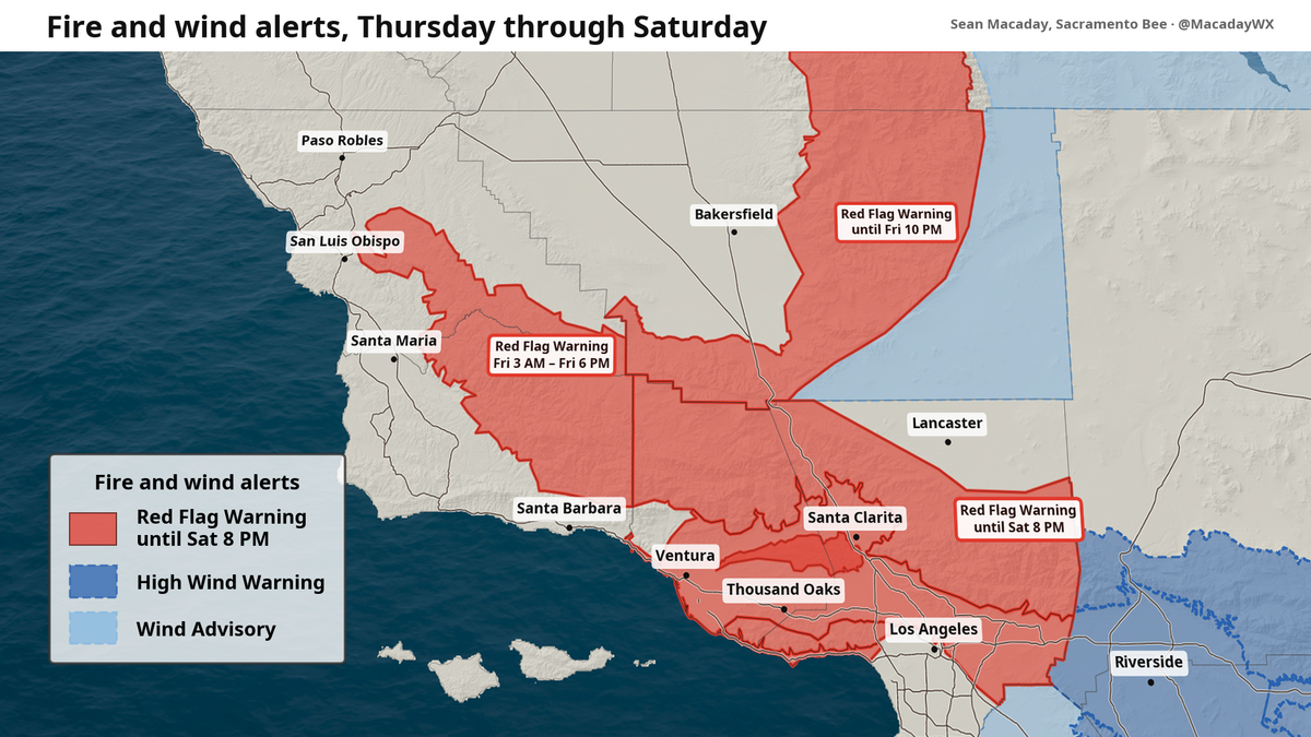 Heat and fire risk continue for SLO County, but up to an inch of rain could be next
As a strong Santa Ana wind event continues to strengthen across Southern California Friday, all eyes are to any fires that could spark or continue spreading. A series of red-flag warnings continued Friday across…
- Wind advisory previously issued for Desert Region will expire at 11 a.m.
San Luis Obispo Tribune The creation of this content included the use of AI based on templates created, reviewed and edited by journalists in the newsroom. Read more on our AI policy here. The advisory had been issued…
- UPDATE: Red flag warning for North Bay Interior Mountains predicted to expire at 11 a.m.
San Luis Obispo Tribune The creation of this content included the use of AI based on templates created, reviewed and edited by journalists in the newsroom. Read more on our AI policy here. The warning was for North Bay…
-
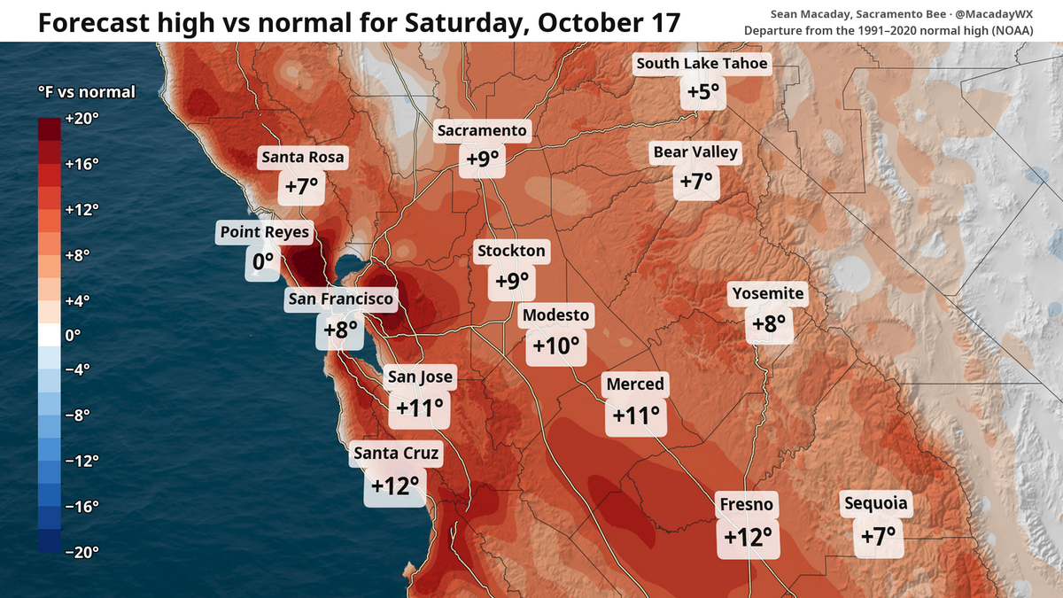 Wind, cooldown and rain? What to expect this weekend and beyond in NorCal weather
Despite a breeze, this weekend is set to be the warmest stretch for the foreseeable future. Those factors will provide some fire risk before temperatures tumble and a window for rain opens next week. It’s a great…
-
 Subfreezing temperatures with freeze warning active for Thursday night
KOAA News 5 Tonight's Forecast:Freeze warnings are active for the Pikes Peak Region and eastern adjacent plains from midnight until 9 a.m The San Luis Valley will see freeze warnings again too For Pueblo and the…
Forecasts, observations and alerts in the United States come from the National Weather Service (NOAA); radar from NOAA's Multi-Radar Multi-Sensor system; satellite imagery from NASA's Global Imagery Browse Services (GIBS) and NOAA's GOES satellites; the map from the U.S. Geological Survey's National Map; air quality from AirNow (EPA and its partners); hurricane information from the National Hurricane Center; climate normals and records from NOAA's Regional Climate Centers (ACIS). Forecasts outside the United States and the UV index: MET Norway (CC BY 4.0); observations outside the U.S.: airport reports via NOAA's Aviation Weather Center. Place names: GeoNames (CC BY 4.0). Data are copied on a schedule and may lag the sources; for warnings that affect your safety, follow your local National Weather Service office and emergency officials. Weather news is drawn from the 4Conservative index and reflects what the press published. Terms of use.