Install
Lefkímmi, Ionian Islands, Greece Weather
Current conditions
Forecast for this hour (no station report in the last two hours)
Forecast
10-day-
Tuesday Night
Partly cloudy. Low 21°.
-
Wednesday
Heavy rain. High 22°. Precipitation 2.3 mm for the day.
-
Wednesday Night
Light showers. Low 21°. Precipitation 2.3 mm for the day.
MET Norway forecast updated 4 hrs ago.
Hourly
Hourly forecast- Now21°
- 21:0021°
- 22:0021°
- 23:0021°
- Wed00:0021°
- 01:0021°
- 02:0021°
- 03:0021°
- 04:0021°
- 05:0021°
- 06:0021°
- 07:0021°
- 08:0021°
- 09:0021°
- 10:0021°
- 11:0021°
- 12:0021°0.5
- 13:0021°0.3
- 14:0022°1.1
- 15:0021°0.2
- 16:0022°
- 17:0022°
- 18:0022°
- 19:0022°0.2
10-day forecast
DetailsRadar
Full mapWeather news in Greece
More weather news-
 Warmer days are coming for Houston but don’t worry, fall is still here!
Click2Houston Each and everyday temperatures in the morning and afternoon will increase by a couple of degrees. Gone are the mornings in the 40s and afternoons in the 70s. It won’t be hot, but we’re losing that crisp…
-
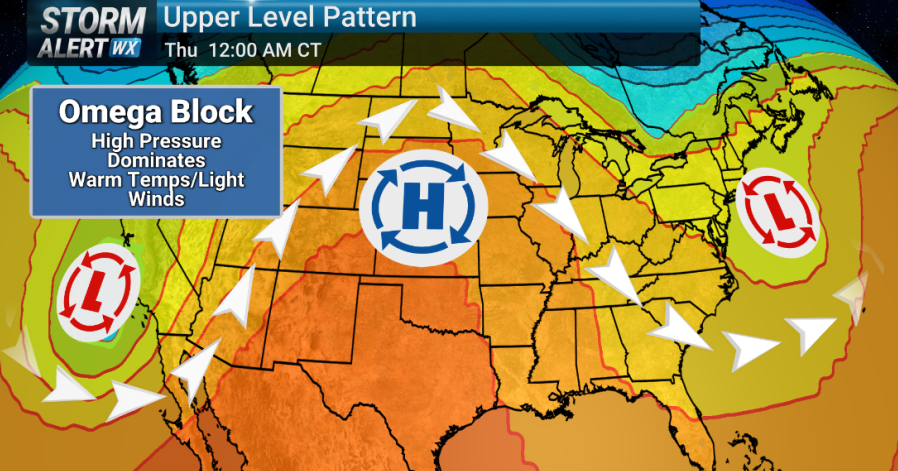 Storm Alert Wx 3: 'Omega Block' pattern keeps us sunny, dry this week
KIMT -- A stretch of sunny skies, lighter winds and above-normal temperatures is on the way this week thanks to a jet stream pattern called an 'Omega Block'. This early season Omega Block features a deep area of low…
-
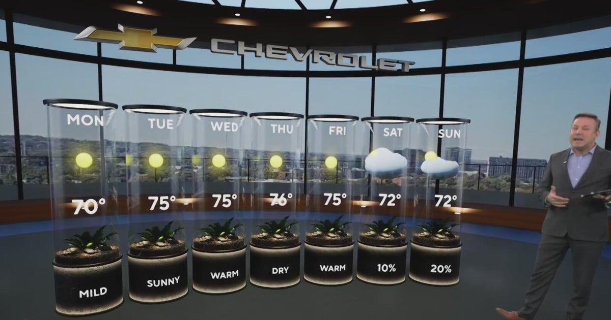 Sunshine and chilly mornings all week in Atlanta before weekend rain chances
CBS News Atlanta is a local news organization that is part of CBS News and Stations. Also referred to as WUPA and channel 69, CBS News Atlanta offers local breaking news, weather coverage and investigative reporting…
-
 A forecast stuck on repeat: Sunshine, warmth and no rain
If you’re looking for a change in the weather, good luck. Mother Nature has apparently lost the remote, and we’re stuck on the same channel all week. Sunshine, dry conditions and temperatures more typical of late summer…
-
 A quiet, warm stretch of weather takes hold this week
kaaltv.com A quiet, warm stretch of weather takes hold this week We are settling into a stretch of quiet fall weather, with temperatures gradually climbing through the middle of the week. Highs will reach the 60s…
-
 Warmer weather, local showers forecast across Greece
Greece is forecast to see generally fair weather Sunday, with clouds increasing in some areas from midday, according to the National Meteorological Service. Isolated showers are possible in eastern Macedonia, Thrace and…
-
 Winter coats at the ready in Badenoch and Strathspey with one week to go!
With the clocks going back in just a week’s time, it seems that everyone is just itching to get back into their winter mode. Here’s an impatient ptarmigan getting changed already. The change will no doubt be complete by…
-
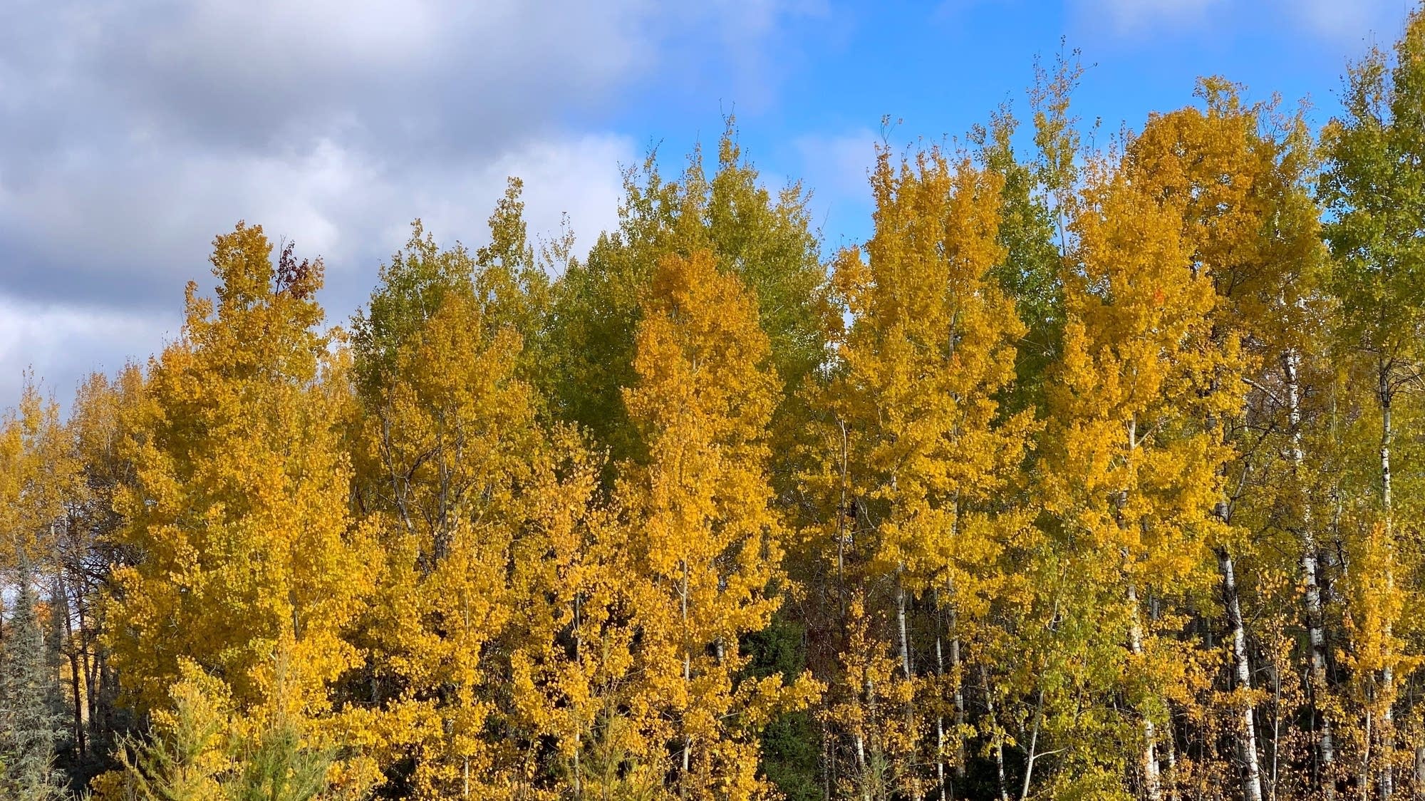 Unseasonably warm, dry weather across Minnesota this week
Omega blocking pattern stalls weather systems Get ready for a stretch of unusually warm and dry weather across Minnesota, with temperatures climbing well above normal for mid-October. Rain chances will remain limited…
-
 Early Snowfall Hits Northern Greece as Temperatures Plunge
Greek City Times (GCT) is a digital news and lifestyle platform focusing on Greek news, culture, history, sports, and current affairs. It serves as a key source of information for Greek residents and the global Greek…
-
 Huge anticyclone over Europe: fog in Czechia, storms in the south
An extensive area of high pressure will form over northern Europe early in the week, pushing cyclones and rainfall further south. According to weather forecasts, the dry and relatively warm weather that has held across…
Sun & moon
Nearby
Forecasts, observations and alerts in the United States come from the National Weather Service (NOAA); radar from NOAA's Multi-Radar Multi-Sensor system; satellite imagery from NASA's Global Imagery Browse Services (GIBS) and NOAA's GOES satellites; the map from the U.S. Geological Survey's National Map; air quality from AirNow (EPA and its partners); hurricane information from the National Hurricane Center; climate normals and records from NOAA's Regional Climate Centers (ACIS). Forecasts outside the United States and the UV index: MET Norway (CC BY 4.0); observations outside the U.S.: airport reports via NOAA's Aviation Weather Center. Place names: GeoNames (CC BY 4.0). Data are copied on a schedule and may lag the sources; for warnings that affect your safety, follow your local National Weather Service office and emergency officials. Weather news is drawn from the 4Conservative index and reflects what the press published. Terms of use.