Install
Zhinvali, Mtskheta-Mtianeti, Georgia Weather
Current conditions
Forecast for this hour (no station report in the last two hours)
Forecast
10-day-
Sunday
Heavy rain. High 17°. Precipitation 10.4 mm for the day.
-
Sunday Night
Rain. Low 9°. Precipitation 10.4 mm for the day.
-
Monday
Light rain. High 17°. Precipitation 1.1 mm for the day.
MET Norway forecast updated 20 hrs ago.
Hourly
Hourly forecast- Now11°
- 10:0013°
- 11:0015°
- 12:0015°
- 13:0016°
- 14:0017°2.1
- 15:0014°0.8
- 16:0014°2.4
- 17:0013°1.5
- 18:0012°0.2
- 19:0012°
- 20:0012°0.2
- 21:0012°0.4
- 22:0012°0.5
- 23:0012°0.3
- Mon00:0011°0.3
- 01:0011°0.2
- 02:0011°0.2
- 03:0011°0.2
- 04:0011°
- 05:0011°
- 06:0011°
- 07:0011°
- 08:0011°
Daily forecast
DetailsRadar
Full mapWeather news in Georgia
More weather news-
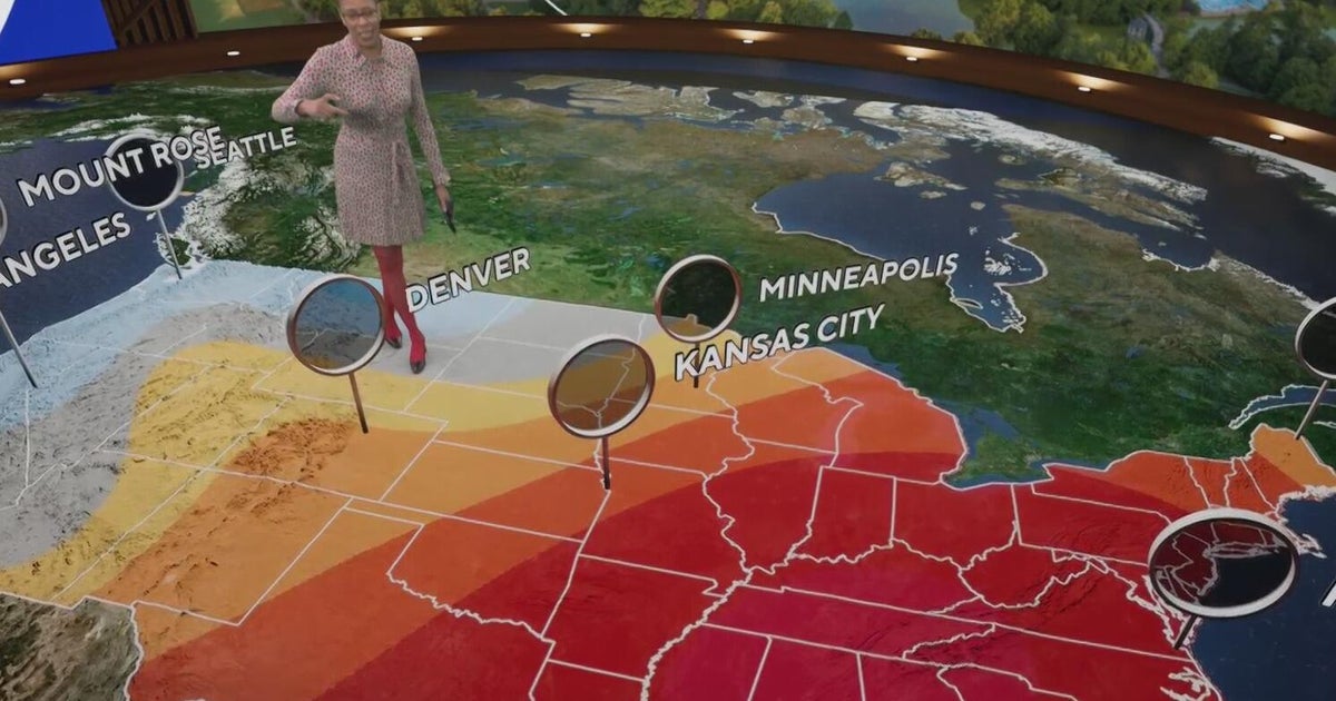 Fall weather in full force across Georgia this weekend
CBS News Atlanta is a local news organization that is part of CBS News and Stations. Also referred to as WUPA and channel 69, CBS News Atlanta offers local breaking news, weather coverage and investigative reporting…
-
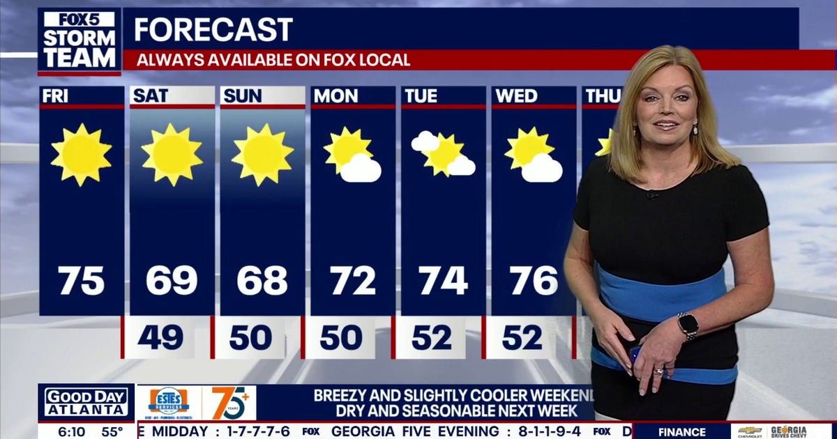 North Georgia forecast: Sunny weekend, fall colors nearing peak
Atlanta starts Friday at 55 degrees, with temperatures expected to reach 72 by 4 p.m. Clear, dry weather will continue through the weekend, though breezy conditions should keep highs below 70 on Saturday and Sunday…
-
 Cobb climate summary & weather forecast for Saturday, October 24, 2026
Tonight it is expected to be mostly clear, with an overnight low of around 48 degrees. Sunny, with a high near 70. East wind 5 to 10 mph, with gusts as high as 20 mph. Mostly clear, with a low around 48. East wind 5 to…
-
 🔴LIVE | First Alert Daily: Elevated fire risk, rough waters from a strong breeze this weekend
TALLAHASSEE, Fla. (WCTV) - The nice weather continues for your weekend, but a little deja vu with winds picking back up. Tune in around 10 a.m. for an update: Low humidity and strong winds will lead to an increased fire…
- Breezy Peachtree Weekend Sets Stage for Atlanta Warmup
Atlanta is starting Saturday clear and cool, with temperatures around 54 degrees before a sunny afternoon pushes the city close to 70. The tradeoff for all that blue sky is a northeast breeze that will make exposed…
-
 Winds kick up this weekend: Here’s what to expect
TALLAHASSEE, Fla. (WCTV) - Your weekend forecast is here, and it’s breezy! 🌬️ Chief Meteorologist Mike McCall is breaking down what you need to know. Tonight Through Saturday Night Another calm, cool night is ahead…
- Wind picks up this weekend with an eye on the tides for Coastal Georgia, Lowcountry
Friday is set to start off cool with lows in the 40s to around 50 degrees. A mild afternoon can be expected with highs in the 70s. Gusty winds arrive to start the weekend with gusts of 20-25+ mph expected, highest at…
-
 Jamie Ertle’s weekend forecast for Oct. 23, 2026
SAVANNAH, Ga. (WTOC) - A few degrees cooler this afternoon, bright blue skies and a little breezy. Strong northeast flow this weekend and early next week will result in several coastal hazards including tidal flooding…
- Sunny Skies Over Atlanta Friday as Bone-Dry Air Fuels Fire Danger Before Cool, Breezy Weekend
The National Weather Service says humidity could fall to 25% or lower across central Georgia Friday afternoon and evening, keeping elevated fire danger in place. Anyone using outdoor flames should use extra caution…
-
 First Alert Weather: Local nor’easter brings weekend showers and coastal, river impacts
Here's what the First Alert Weather Team said you can expect for the forecast: This evening will be dry and breezy. Local nor'easter conditions are here for the weekend. A few showers will begin closer to the coast on…
Sun & moon
Nearby
Forecasts, observations and alerts in the United States come from the National Weather Service (NOAA); radar from NOAA's Multi-Radar Multi-Sensor system; satellite imagery from NASA's Global Imagery Browse Services (GIBS) and NOAA's GOES satellites; the map from the U.S. Geological Survey's National Map; air quality from AirNow (EPA and its partners); hurricane information from the National Hurricane Center; climate normals and records from NOAA's Regional Climate Centers (ACIS). Forecasts outside the United States and the UV index: MET Norway (CC BY 4.0); observations outside the U.S.: airport reports via NOAA's Aviation Weather Center. Place names: GeoNames (CC BY 4.0). Data are copied on a schedule and may lag the sources; for warnings that affect your safety, follow your local National Weather Service office and emergency officials. Weather news is drawn from the 4Conservative index and reflects what the press published. Terms of use.