Install
Samtredia, Imereti, Georgia Weather
Current conditions
Observed at Kutaisi/Kopitnarii Intl · 1 hr ago
Forecast
10-day-
Wednesday Night
Heavy rain. Low 17°. Precipitation 7.1 mm for the day.
-
Thursday
Rain. High 19°. Precipitation 16.0 mm for the day.
-
Thursday Night
Heavy rain. Low 15°. Precipitation 16.0 mm for the day.
MET Norway forecast updated 4 hrs ago.
Hourly
Hourly forecast- Now17°4.2
- 22:0017°1.1
- 23:0017°0.8
- Thu00:0016°0.5
- 01:0016°0.8
- 02:0016°1.1
- 03:0016°1.7
- 04:0016°4.2
- 05:0016°2.2
- 06:0016°0.9
- 07:0016°0.8
- 08:0016°0.5
- 09:0016°0.3
- 10:0016°0.2
- 11:0018°0.3
- 12:0018°0.5
- 13:0018°0.8
- 14:0019°0.8
- 15:0018°0.3
- 16:0019°
- 17:0018°
- 18:0017°
- 19:0016°
- 20:0015°
10-day forecast
DetailsRadar
Full mapWeather news in Georgia
More weather news-
 High fire danger expected across much of Georgia Wednesday
Cobb County and most of north and central Georgia face high fire danger Wednesday afternoon into the evening, Oct. 21, according to a special weather statement issued by the National Weather Service. Relative humidity…
-
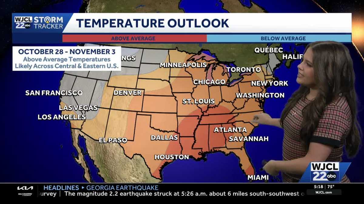 Comfortable conditions continue across Southeast Georgia and the Lowcountry
WJCL A look at the chilly mornings ahead and nice afternoon highs Temperatures drop overnight Tuesday into Wednesday with lows Wednesday morning in the 40s and 50s across Southeast Georgia and the Lowcountry. Have a…
-
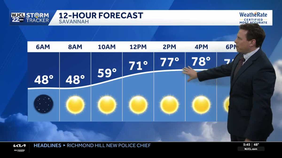 Sunny skies and pleasant fall weather continue across Southeast Georgia and the Lowcountry
Sunshine and pleasantly mild temperatures through the end of the workweek Savannah, Ga. (WJCL)- There will be sunny skies throughout the day with temperatures a few degrees milder this afternoon. Highs will be in the…
-
 Dry weather leads to possible High Fire Danger Conditions
41NBC News Dry weather leads to possible High Fire Danger Conditions MACON, Georgia (41NBC/WMGT) – High pressure over the southeast is expected to sit and spin in place through the rest of the work week. There is no…
-
 After morning clouds, we will be back to the warm and dry weather
fox21online.com Seasonal day with some sunshine before rain moves in Thursda⦠Seasonal temperatures will persist today with highs in the 5⦠The warm and dry fall conditions continues in the Northland ⦠The…
-
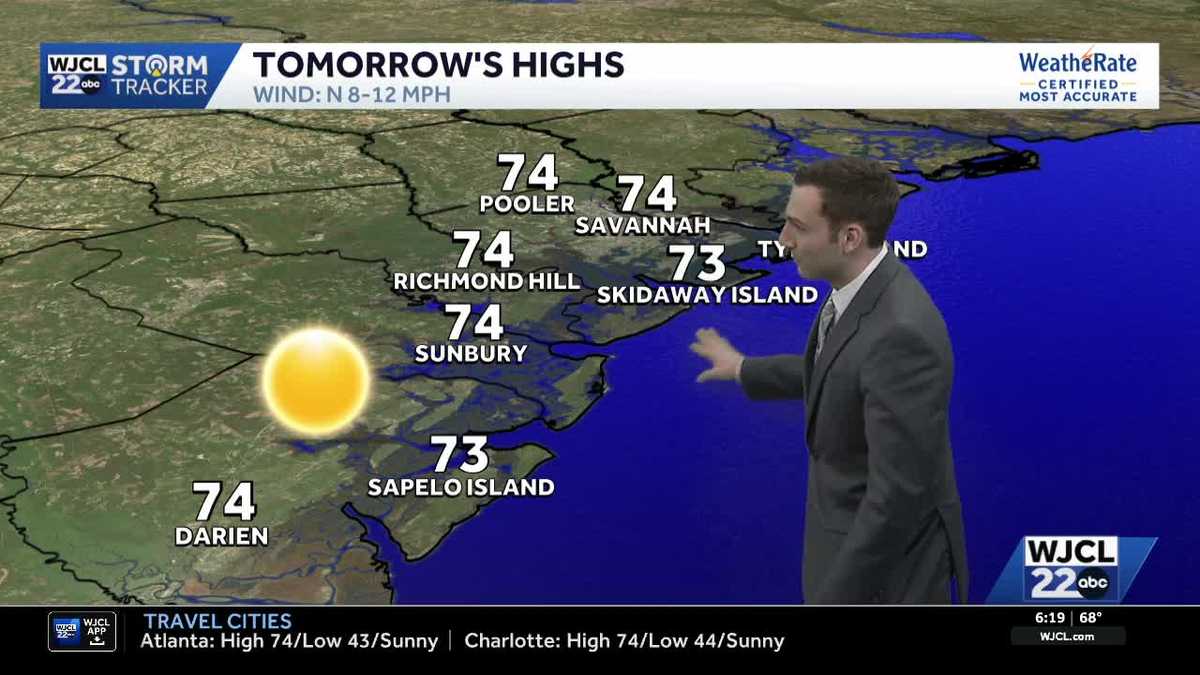 Sunshine stays in the forecast for Southeast Georgia & the Lowcountry this week
WJCL Tuesday morning will feature a clear & cold start with lows in the 40s across Southeast Georgia & the Lowcountry Similar to the start of the work week, there will be plenty of sunshine during the day, but a light…
-
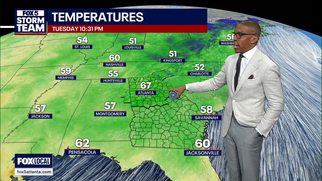 Tuesday night forecast
FOX 5 Atlanta Chilly, November-like mornings and comfortable afternoons continue across North Georgia. Highs reach the mid-70s Wednesday with plenty of sunshine before a late-week cold front brings cooler air, leaving…
-
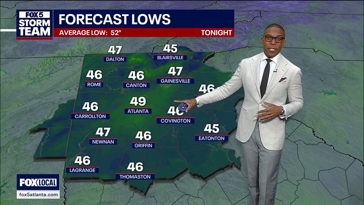 Tuesday evening weather forecast
FOX 5 Atlanta Chilly, November-like mornings and comfortable afternoons continue across North Georgia. Highs reach the mid-70s Wednesday with plenty of sunshine before a late-week cold front brings cooler air, leaving…
- Carolina Blue Skies Stick Around as Charlotte Braces for Cooler Weekend
North-northeast winds around 5 to 7 mph will accompany Wednesday's sunshine, while afternoon humidity drops to the middle 20s percent. The official increased fire danger statement covers northeast Georgia rather than…
-
 When does the first frost hit your state? Here are the average dates
A light freeze of 29°F to 32°F is enough to kill buckwheat, tomatoes, peppers, and basil, according to University of Georgia Cooperative Extension. Meteorologists track freezes rather than frost, because a freeze is…
Sun & moon
Nearby
Forecasts, observations and alerts in the United States come from the National Weather Service (NOAA); radar from NOAA's Multi-Radar Multi-Sensor system; satellite imagery from NASA's Global Imagery Browse Services (GIBS) and NOAA's GOES satellites; the map from the U.S. Geological Survey's National Map; air quality from AirNow (EPA and its partners); hurricane information from the National Hurricane Center; climate normals and records from NOAA's Regional Climate Centers (ACIS). Forecasts outside the United States and the UV index: MET Norway (CC BY 4.0); observations outside the U.S.: airport reports via NOAA's Aviation Weather Center. Place names: GeoNames (CC BY 4.0). Data are copied on a schedule and may lag the sources; for warnings that affect your safety, follow your local National Weather Service office and emergency officials. Weather news is drawn from the 4Conservative index and reflects what the press published. Terms of use.