Install
Aghaiani, Shida Kartli, Georgia Weather
Current conditions
Forecast for this hour (no station report in the last two hours)
Forecast
10-day-
Wednesday
Light rain. High 22°. Precipitation 2.8 mm for the day.
-
Wednesday Night
Heavy rain. Low 13°. Precipitation 2.8 mm for the day.
-
Thursday
Heavy rain. High 18°. Precipitation 15.7 mm for the day.
MET Norway forecast updated 11 hrs ago.
Hourly
Hourly forecast- Now14°1.6
- 01:0014°
- 02:0014°
- 03:0014°
- 04:0014°
- 05:0013°
- 06:0013°
- 07:0013°
- 08:0013°
- 09:0015°
- 10:0018°
- 11:0019°
- 12:0021°
- 13:0022°
- 14:0022°
- 15:0021°0.2
- 16:0019°0.2
- 17:0018°
- 18:0017°
- 19:0016°0.6
- 20:0016°
- 21:0016°
- 22:0015°
- 23:0015°
Daily forecast
DetailsRadar
Full mapWeather news in Georgia
More weather news-
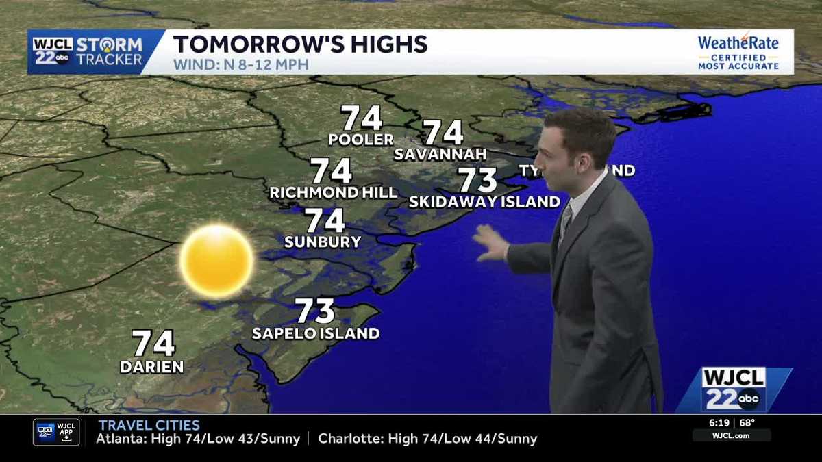 Sunshine stays in the forecast for Southeast Georgia & the Lowcountry this week
WJCL Tuesday morning will feature a clear & cold start with lows in the 40s across Southeast Georgia & the Lowcountry Similar to the start of the work week, there will be plenty of sunshine during the day, but a light…
-
 🔥 High fire danger today in Cobb County and North Georgia
Relative humidity could fall to 30% or lower for at least four hours, with northeast winds of 5 to 10 mph. Dry vegetation and low humidity will increase the risk of fires spreading. Residents should check with local…
-
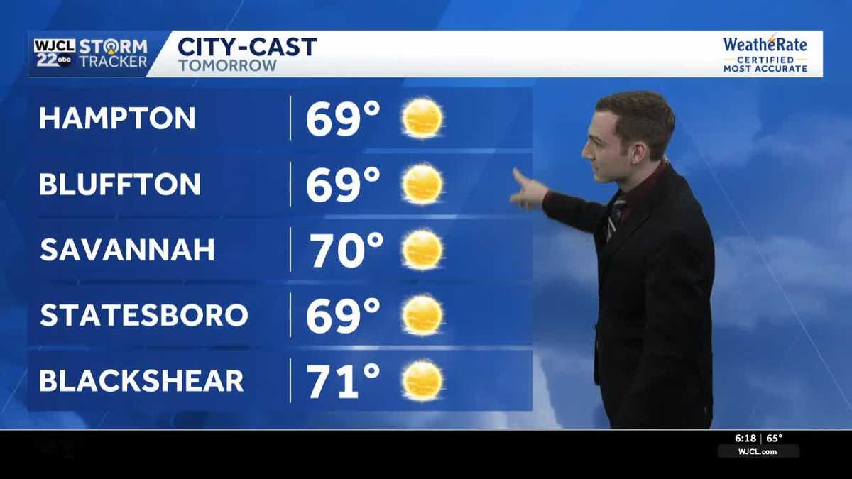 Chilly mornings & pleasant afternoons continue across Southeast Georgia & the Lowcountry this week
WJCL Monday will feature another chilly start as you head out the door with lows in the upper 40 - low 50s & a light northeasterly breeze to go along, so make sure to grab a jacket. There is still a lot of dry air in…
-
 FIRST ALERT FORECAST: Mostly sunny, 70s this afternoon
ATLANTA, Ga. (Atlanta News First) — It’ll be another nice day in north Georgia with warmer afternoon highs. Plan on the mid 70s in Atlanta with the upper 70s as you travel further south. Due to dry air in north Georgia…
-
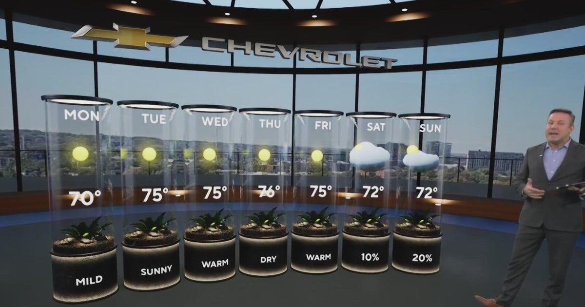 Sunshine and chilly mornings all week in Atlanta before weekend rain chances
CBS News Atlanta is a local news organization that is part of CBS News and Stations. Also referred to as WUPA and channel 69, CBS News Atlanta offers local breaking news, weather coverage and investigative reporting…
-
 A beautiful stretch of Fall weather ahead
41NBC News A beautiful stretch of Fall weather ahead MACON, Georgia (41NBC/WMGT) – A Fire Danger Statement is in effect for portions of North and Middle Georgia through 8 PM this evening. Autumn, it would appear, is…
-
 Cobb climate summary & weather forecast for Tuesday, October 20, 2026
Tonight it is expected to be mostly clear, with an overnight low of around 47 degrees. Sunny, with a high near 75. Calm wind. Mostly clear, with a low around 47. North wind around 5 mph becoming calm. Sunny, with a high…
-
 Feeling Like Fall! Cool, dry conditions prevail for Metro Atlanta this week
After a relentless Summer that continued well into the Fall season, perfect Autumnal weather will stick around this week. — After a relentless Summer that continued well into the Fall season, we are rewarded with…
-
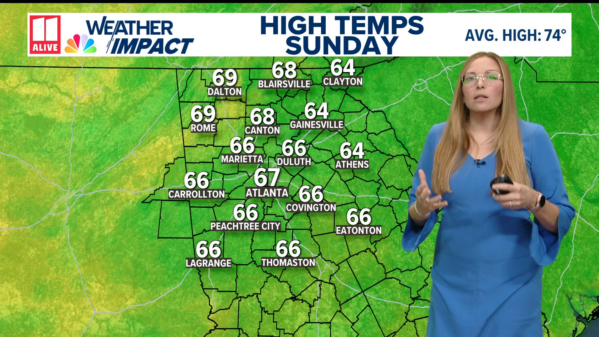 Weather forecast: cold and breezy across North Georgia
11Alive.com Weather forecast: cold and breezy across North Georgia To stream 11Alive on your phone, you need the 11Alive app. Download the 11Alive app Next up in 5 Example video title will go here for this video Before…
-
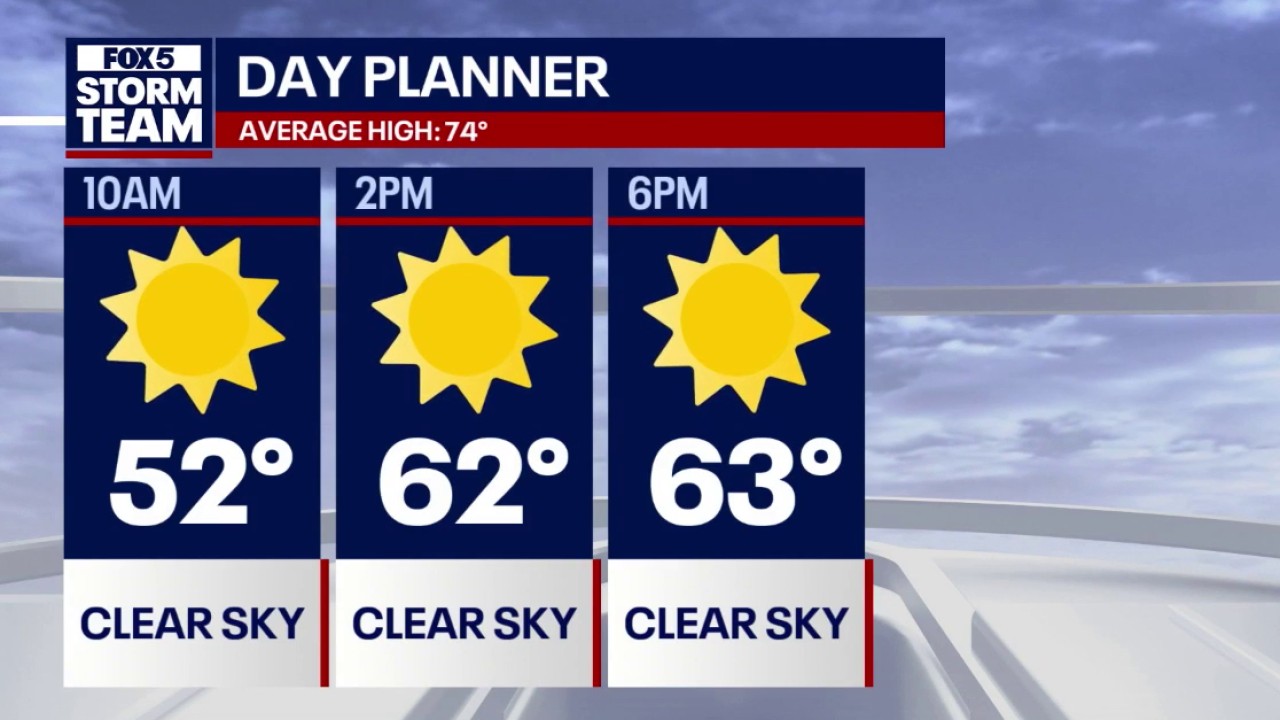 Crisp fall weather & 70s warming trend for North Georgia
FOX 5 Atlanta Lows dipped into the 30s across mountain communities and North Georgia overnight, with Atlanta starting near 50 degrees accompanied by 18 mph northeasterly winds. Daytime highs remain below seasonal…
Sun & moon
Nearby
Forecasts, observations and alerts in the United States come from the National Weather Service (NOAA); radar from NOAA's Multi-Radar Multi-Sensor system; satellite imagery from NASA's Global Imagery Browse Services (GIBS) and NOAA's GOES satellites; the map from the U.S. Geological Survey's National Map; air quality from AirNow (EPA and its partners); hurricane information from the National Hurricane Center; climate normals and records from NOAA's Regional Climate Centers (ACIS). Forecasts outside the United States and the UV index: MET Norway (CC BY 4.0); observations outside the U.S.: airport reports via NOAA's Aviation Weather Center. Place names: GeoNames (CC BY 4.0). Data are copied on a schedule and may lag the sources; for warnings that affect your safety, follow your local National Weather Service office and emergency officials. Weather news is drawn from the 4Conservative index and reflects what the press published. Terms of use.