Install
Reading, England, United Kingdom Weather
Current conditions
Observed at Benson · 41 min ago
Forecast
10-day-
Tuesday
Light rain. High 11°. Precipitation 0.2 mm for the day.
-
Tuesday Night
Cloudy. Low 10°. Precipitation 0.2 mm for the day.
-
Wednesday
Rain. High 11°. Precipitation 2.6 mm for the day.
MET Norway forecast updated 1 hr ago.
Hourly
Hourly forecast- Now11°
- 17:0011°
- 18:0011°
- 19:0011°
- 20:0011°
- 21:0010°
- 22:0010°
- 23:0010°
- Wed00:009°
- 01:008°
- 02:008°
- 03:008°
- 04:008°
- 05:008°0.5
- 06:009°0.3
- 07:0010°0.4
- 08:0010°
- 09:0011°0.7
- 10:0010°
- 11:0010°
- 12:0010°
- 13:0010°
- 14:0010°
- 15:009°0.3
10-day forecast
DetailsRadar
Full mapWeather news near Reading
More weather news-
 Mumbai Weather Update: Mercury Set To Touch 36°C Today As Hot & Humid Conditions Persist; AQI Remains In Unhealthy Range
Mumbai is expected to reach 36°C on Tuesday amid humid conditions and generally clear skies, according to the India Meteorological Department. The minimum temperature was 29°C in the morning. Last week, the city…
-
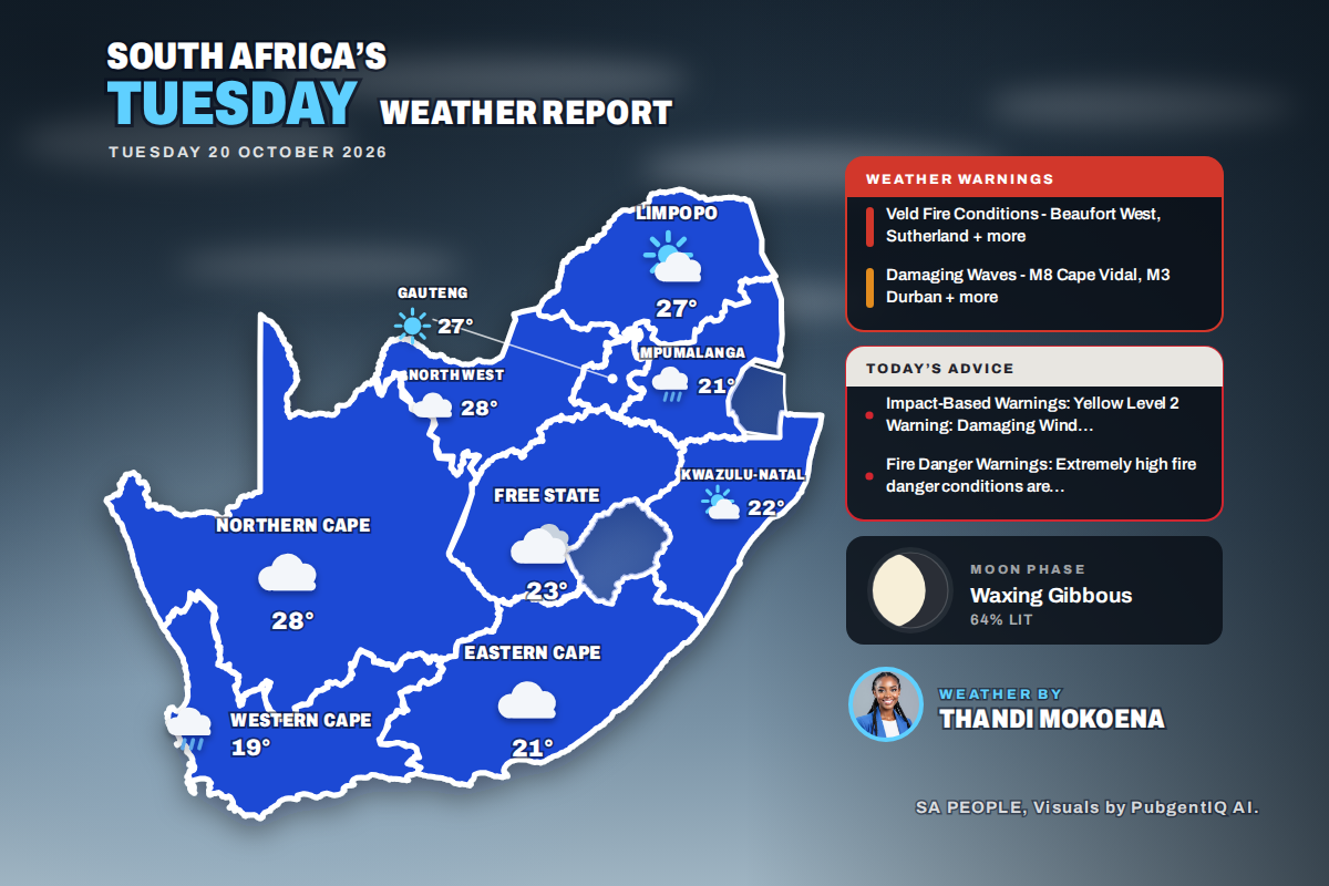 Here is today’s weather by province: Damaging waves expected along the KwaZulu-Natal coast today
Home » Here is today’s weather by province: Damaging waves expected along the KwaZulu-Natal coast today Mahikeng swings from a chilly 6°C at dawn to the country’s warmest reading of 28°C, while Cape Town tops out at…
-
 Patchy fog tonight, mild afternoons this week
Temperature-wise, we will be feeling more like late-September and early-October instead of the final week or so before Halloween. Highs will routinely sit in the mid and upper 60s with a few 70° readings not out of the…
-
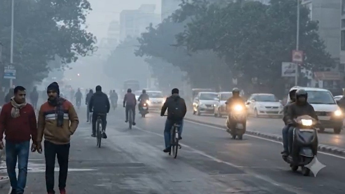 Delhi Shivers As Temperature Drops To 17.1°C On October's Coldest Night, IMD Forecasts Clear Skies
New Delhi: Delhi recorded its coldest night of October so far on Sunday, October 18, as the minimum temperature dropped to 17.1°C, according to the India Meteorological Department (IMD). The temperature was 1.3°C below…
-
 New Maps Forecast Winter 26/27 as El Niño Strengthens
Powder and Yahoo may earn commission from links in this article. Popular YouTube weather forecaster Direct Weather has updated his Winter 26/27 long-range forecast as El Niño strengthens and winter approaches. "The…
-
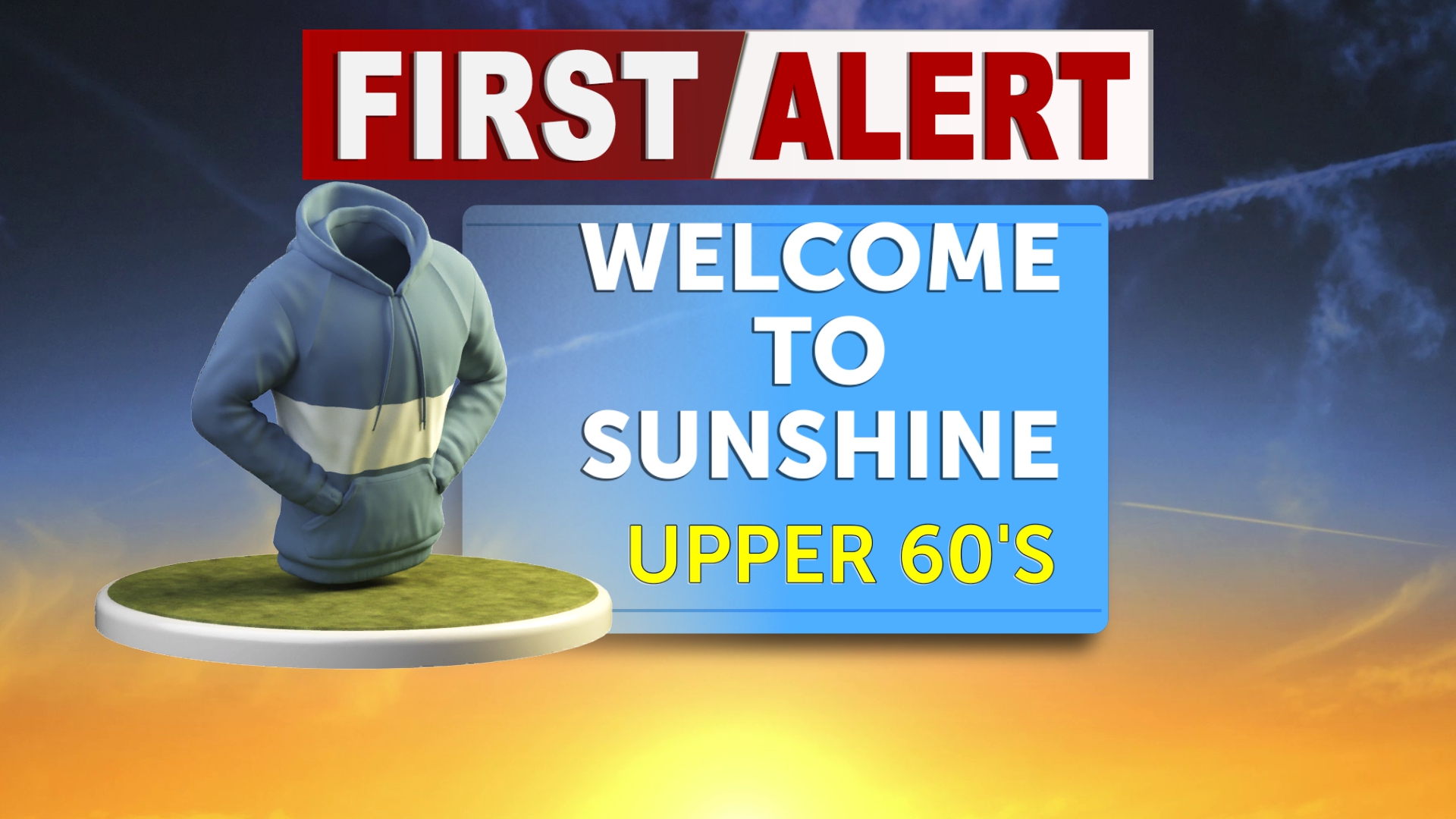 Tracking sunshine and above average temps for the start of the week
A Pacific storm system brings a changing weather pattern this week, with rain chances increasing Thursday and Friday before a cooler, breezier weekend across Eastern Idaho and Western Wyoming. The biggest changes are…
-
 Mumbai Hits 38°C In October: Will The City Get A Proper Winter This Year? Here's What To Expect
Mumbai’s scorching October has raised a familiar question: will the city finally experience a proper winter this year, or will the heat and humidity linger well into the cooler months? The immediate forecast offers…
-
 UK storm forecast: Five weather systems to bring heavy rain and gales
Britain faces two weeks of unsettled weather ahead of Halloween, with forecasts indicating five periods of heavy rain and strong winds as Atlantic low-pressure systems move across the country. Wind gusts could reach 60…
- Karachi residents brace for more heat as high temperatures loom in November
Karachi’s average daytime temperature for November is 32.6°C. KARACHI: Karachi residents can expect several more days of hot, dry weather, with temperatures potentially climbing to 38 degrees Celsius by Friday, the…
-
 Karachi temperature expected to remain above normal in November: Met Office
Published October 19, 2026 KARACHI: Hot and dry weather is expected to persist in Karachi until Friday, with the intensity of the heat likely to remain high and temperatures potentially reaching 38°C during the period…
Sun & moon
Nearby
- Slough 27 km
- Oxford 38 km
- Harrow 46 km
- High Wycombe 25 km
- Watford 46 km
- Basingstoke 23 km
- Woking 32 km
- Hemel Hempstead 49 km
- Hayes 38 km
- Wembley 48 km
- Southall 42 km
- Bracknell 16 km
Forecasts, observations and alerts in the United States come from the National Weather Service (NOAA); radar from NOAA's Multi-Radar Multi-Sensor system; satellite imagery from NASA's Global Imagery Browse Services (GIBS) and NOAA's GOES satellites; the map from the U.S. Geological Survey's National Map; air quality from AirNow (EPA and its partners); hurricane information from the National Hurricane Center; climate normals and records from NOAA's Regional Climate Centers (ACIS). Forecasts outside the United States and the UV index: MET Norway (CC BY 4.0); observations outside the U.S.: airport reports via NOAA's Aviation Weather Center. Place names: GeoNames (CC BY 4.0). Data are copied on a schedule and may lag the sources; for warnings that affect your safety, follow your local National Weather Service office and emergency officials. Weather news is drawn from the 4Conservative index and reflects what the press published. Terms of use.