Install
Newcastle upon Tyne, England, United Kingdom Weather
Current conditions
Forecast for this hour (no station report in the last two hours)
Forecast
10-day-
Sunday
Mostly sunny. High 10°.
-
Sunday Night
Mostly clear. Low 8°.
-
Monday
Heavy rain. High 15°. Precipitation 4.4 mm for the day.
MET Norway forecast updated 4 hrs ago.
Hourly
Hourly forecast- Now9°
- 18:009°
- 19:009°
- 20:008°
- 21:008°
- 22:008°
- 23:009°
- Mon00:009°
- 01:009°
- 02:009°
- 03:008°
- 04:008°
- 05:007°
- 06:008°
- 07:008°
- 08:008°0.2
- 09:008°0.3
- 10:008°0.7
- 11:008°0.9
- 12:008°0.8
- 13:009°1.1
- 14:0010°0.4
- 15:0011°
- 16:0013°
10-day forecast
DetailsRadar
Full mapWeather news near Newcastle upon Tyne
More weather news-
 Horndean - Weather warnings issued
Tonight will become mostly dry with plenty of clear spells once any daytime showers die out. A chilly night under light winds. Tomorrow is expected to be a dry and fine day with extensively sunny skies and little to no…
-
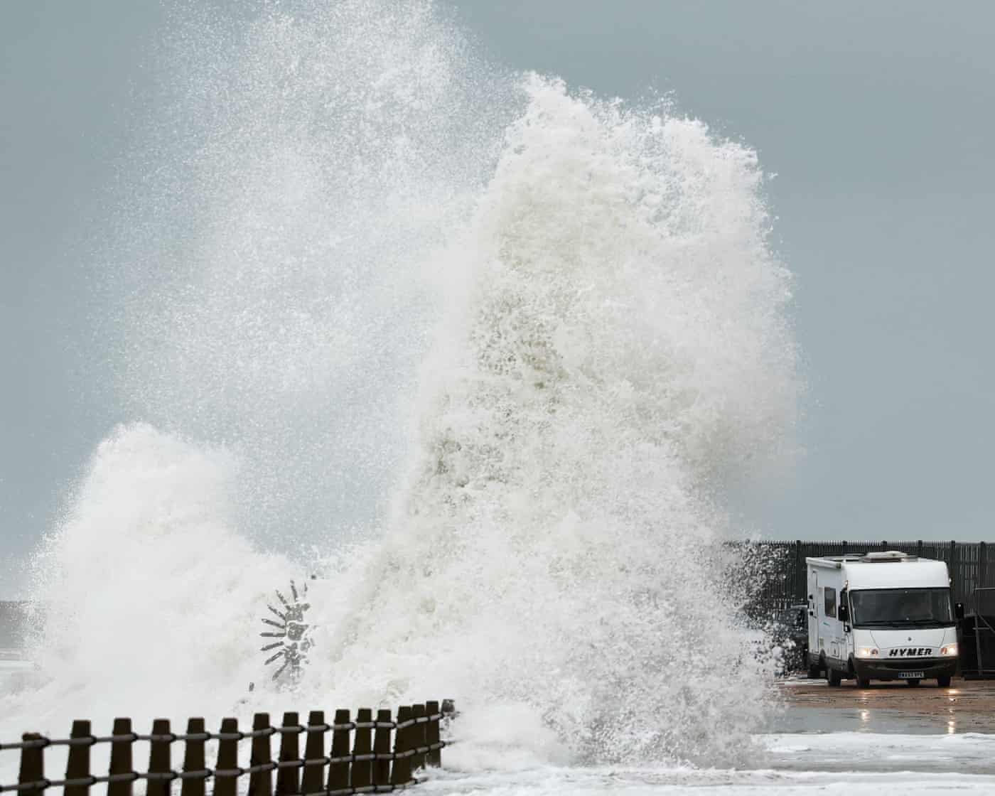 United Kingdom prepares for Storm Boelo with strong winds and rain
KOHA JONË United Kingdom prepares for Storm Boelo with strong winds and rain The United Kingdom is bracing for the second storm this weekend, as strong winds and heavy rain are expected to cause travel disruption and…
-
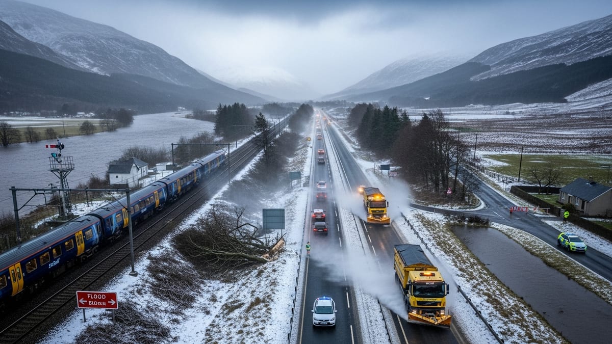 Storm Boelo batters Scotland with 85mph overnight winds
Storm Boelo has slammed into Scotland with winds up to 85 mph, flooding, and severe travel disruption affecting rail, road, air and ferry connections. Overnight gusts reaching 85 mph have battered parts of Scotland as…
-
 Will Liverpool vs Brighton be called off? Storm Boelo cancels events and travel
Liverpool will be hoping to put an end to a six-month wait for a league victory at Anfield, with a clash against Brighton set to truly test Andoni Iraola's side. There have beeen doubts about the Premier League meeting…
-
 UK clocks go back today: New time difference with Kenya and what travellers should know
Travellers between Kenya and the United Kingdom will need to adjust to a new time difference from Sunday, October 25, 2026, when the UK turns its clocks back by one hour and ends daylight saving time. The change means…
-
 Did the Clocks Go Back in the UK? Why October 25 Marks the End of British Summer Time, How the BST-to-GMT Change Works and When the Next Clock Change Will Take Place
Clocks across the United Kingdom have gone back by one hour on Sunday, October 25, marking the end of British Summer Time (BST) and the return to Greenwich Mean Time (GMT). The annual autumn change gives people an extra…
-
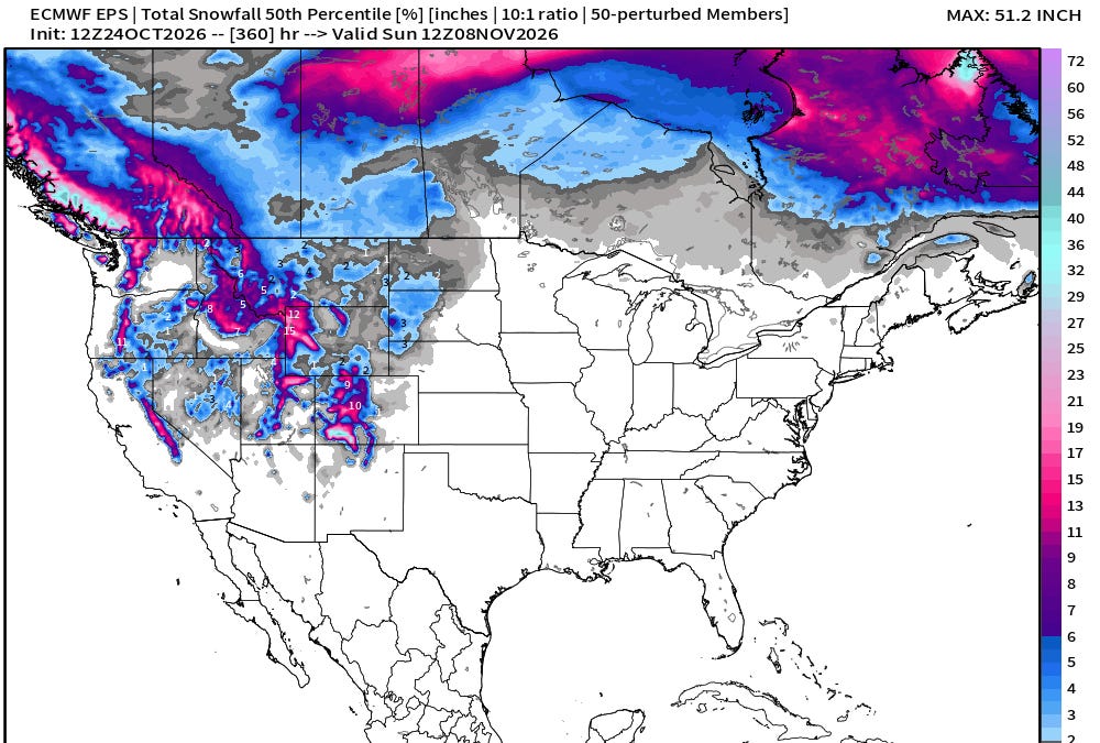 October 24, 2026 Saturday Weather Update
This is Forecast Post number 1055 — Day 297 of 2026 Author: Dr. Ryan Maue (X @RyanWeather X @weathertrader) Thank you for visiting! The goal of this newsletter is to highlight the beautiful and sometimes extreme weather…
-
 Latest Met Office weather forecast ahead of Manchester United vs Bournemouth
Storm Boelo has caused widespread disruption across the United Kingdom this weekend, with strong winds and heavy rainfall raising concerns over travel and sporting events. The second named storm to hit Britain in as…
-
 Storm Boelo’s amber winds threaten major UK travel disruption
Storm Boelo has triggered amber wind warnings across northern UK, with forecasts of 80 mph gusts, cancelled ferries and rail disruption through Sunday. Storm Boelo is sweeping into the north of the United Kingdom this…
-
 Storm Boelo Batters Northern UK With 80Mph Winds And Heavy Rain As Met Office Issues Amber Weather Warnings
Zaini is Editor at The Sunday Guardian. She focuses on geopolitics, defence, international affairs, and breaking news coverage. She has worked in fast-paced newsrooms, including WION, Republic Media Network, India Today…
Sun & moon
Nearby
- Sunderland 17 km
- Middlesbrough 50 km
- Darlington 50 km
- Hartlepool 41 km
- South Shields 12 km
- Stockton-on-Tees 49 km
- Gateshead 1 km
- Washington 10 km
- Tynemouth 13 km
- Durham 22 km
- Wallsend 5 km
- Newburn 8 km
Forecasts, observations and alerts in the United States come from the National Weather Service (NOAA); radar from NOAA's Multi-Radar Multi-Sensor system; satellite imagery from NASA's Global Imagery Browse Services (GIBS) and NOAA's GOES satellites; the map from the U.S. Geological Survey's National Map; air quality from AirNow (EPA and its partners); hurricane information from the National Hurricane Center; climate normals and records from NOAA's Regional Climate Centers (ACIS). Forecasts outside the United States and the UV index: MET Norway (CC BY 4.0); observations outside the U.S.: airport reports via NOAA's Aviation Weather Center. Place names: GeoNames (CC BY 4.0). Data are copied on a schedule and may lag the sources; for warnings that affect your safety, follow your local National Weather Service office and emergency officials. Weather news is drawn from the 4Conservative index and reflects what the press published. Terms of use. How to use Weather