Install
Dunfermline, Scotland, United Kingdom Weather
Current conditions
Observed at Edinburgh Arpt · 1 hr ago
Forecast
10-day-
Wednesday
Heavy rain. High 11°. Precipitation 21.6 mm for the day.
-
Wednesday Night
Heavy rain. Low 7°. Precipitation 21.6 mm for the day.
-
Thursday
Cloudy. High 10°.
MET Norway forecast updated 18 hrs ago.
Hourly
Hourly forecast- Now9°2.6
- 10:0010°2.1
- 11:009°2.0
- 12:009°1.0
- 13:009°0.3
- 14:0010°
- 15:0010°
- 16:0011°
- 17:0010°
- 18:009°0.2
- 19:008°
- 20:008°
- 21:007°
- 22:007°
- 23:007°
- Thu00:006°
- 01:005°
- 02:004°
- 03:004°
- 04:004°
- 05:003°
- 06:003°
- 07:003°
- 08:003°
Daily forecast
DetailsRadar
Full mapWeather news near Dunfermline
More weather news-
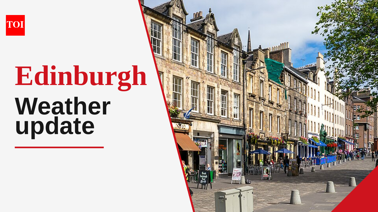 Edinburgh weather forecast: Enjoy a sunny day today before rain returns this week
The Times of India Edinburgh, October 18, 2026, is welcoming residents with a sunny day that will stand in stark contrast to the weather expected in the coming days Today's temperatures are predicted to reach a maximum…
-
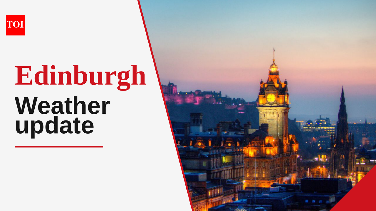 Edinburgh experiences sunny intervals and potential rain today with highs of 12°C
The Times of India Edinburgh, 16 October 2026 Today, residents can expect a day filled with sunny intervals, a welcome change amid the slightly chillier temperatures typical for this time of year The high will reach…
-
 Met Office Names Storm Austen as UK Wind Warning Takes Effect
Storm Austen, the first named storm of autumn, is expected to bring damaging winds and heavy rain to parts of the United Kingdom from Thursday night, prompting the Met Office to issue a yellow wind warning for southern…
- Weather Forecast and Conditions for Ilfracombe, England, United Kingdom - The Weather Channel
| Weather.com The Weather Channel Ilfracombe, England, United Kingdom
-
 UK Weather Update: What The Met Office Forecast Says About Rain, Storms And Strong Winds in Scotland And Northern England
Scotland and Northern England may experience rain and strong winds in late October as the Met Office forecasts increasingly unsettled weather across the UK. Scotland And Northern England Weather Update: Met Office…
-
 Met Office Explains UK Snow Outlook as El Niño Strengthens
News and Information Media for the Public In an October 15 report, residents in Halton were told they would need to wait for greater certainty about the prospect of a white winter. A subsequent report published on…
-
 Met Office issues major UK snow update as El Nino 'strengthening rapidly'
Members of the public are wondering if a white Christmas is on the way(Image: Derby Telegraph) The Met Office has provided a major UK snow update as El Nino continues ‘strengthening rapidly’ ahead of reaching its peak…
-
 Met Office issues verdict on when UK could face snow as temperatures set to plunge
The Met Office has shared an updated on a possible 'white Christmas' this year.(Image: Getty) The Met Office has provided an update regarding the prospects of a white Christmas across Britain this year. According to the…
Sun & moon
Nearby
- Glasgow 55 km
- Edinburgh 21 km
- Dundee 53 km
- East Kilbride 56 km
- Livingston 19 km
- Hamilton 49 km
- Meikle Earnock 51 km
- Cumbernauld 36 km
- Kirkcaldy 19 km
- Perth 36 km
- Coatbridge 42 km
- Glenrothes 22 km
Forecasts, observations and alerts in the United States come from the National Weather Service (NOAA); radar from NOAA's Multi-Radar Multi-Sensor system; satellite imagery from NASA's Global Imagery Browse Services (GIBS) and NOAA's GOES satellites; the map from the U.S. Geological Survey's National Map; air quality from AirNow (EPA and its partners); hurricane information from the National Hurricane Center; climate normals and records from NOAA's Regional Climate Centers (ACIS). Forecasts outside the United States and the UV index: MET Norway (CC BY 4.0); observations outside the U.S.: airport reports via NOAA's Aviation Weather Center. Place names: GeoNames (CC BY 4.0). Data are copied on a schedule and may lag the sources; for warnings that affect your safety, follow your local National Weather Service office and emergency officials. Weather news is drawn from the 4Conservative index and reflects what the press published. Terms of use.