Install
Castleford, England, United Kingdom Weather
Current conditions
Forecast for this hour (no station report in the last two hours)
Forecast
10-day-
Friday
Heavy rain. High 13°. Precipitation 4.5 mm for the day.
-
Friday Night
Rain. Low 6°. Precipitation 4.5 mm for the day.
-
Saturday
Heavy rain. High 13°. Precipitation 11.7 mm for the day.
MET Norway forecast updated 8 hrs ago.
Hourly
Hourly forecast- Now11°
- 11:0012°
- 12:0012°
- 13:0013°
- 14:0013°1.2
- 15:0011°0.2
- 16:0010°
- 17:009°0.2
- 18:007°0.3
- 19:007°0.7
- 20:007°0.6
- 21:006°0.2
- 22:007°
- 23:007°
- Sat00:007°
- 01:007°
- 02:007°
- 03:007°
- 04:007°
- 05:007°
- 06:007°
- 07:007°
- 08:007°
- 09:008°
Daily forecast
DetailsRadar
Full mapWeather news near Castleford
More weather news-
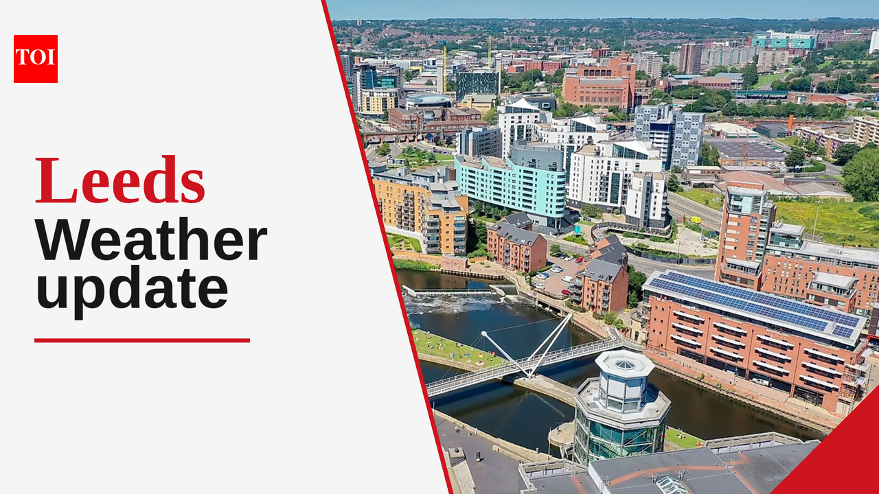 Leeds weather update: Light rain expected today with temperatures between 8°C and 11°C
The Times of India Today, Leeds experiences a weather preview of October's signature unpredictability with light rain likely to dampen the day As early as 7:43 AM, residents can expect a cool start with temperatures…
-
 Good morning, Bradford! Here's today's weather!
Mainly sunny. Wind becoming southwest 30 km/h gusting to 50 this morning. High 15. UV index 4 or moderate. Clear. Wind southwest 20 km/h gusting to 40 becoming light near midnight. Low plus 4. Sunny. High 17. UV index 4…
-
 Tropical development possible off Southeast coast as system drifts northeast
Mid-Atlantic coastal waters are watching a non-tropical low-pressure system with a 40% chance of development over seven days. The system is expected to meander over warm waters and drift slowly northeast away from Tampa…
-
 Leeds weather forecast: sunny intervals with a chance of rain today, October 18, 2026
The Times of India Leeds, October 18, 2026 - Today, residents of Leeds can expect a day characterized by sunny intervals, bringing some much-needed brightness after a spell of gray weather The maximum temperature is…
-
 Leeds weather forecast for October 17, 2026: Mild temperatures and sunny intervals expected
The Times of India Leeds, October 17, 2026, is welcoming a day characterized by mild temperatures and sunny intervals The maximum temperature is set to reach 12°C, while the minimum will hover around 5°C Conditions…
-
 Road Report for Oct. 19 to Oct. 23
PennDOT has announced the following weather-dependent road projects that could affect drivers in the greater Chadds Ford area from Oct. 19 to Oct. 23. Motorists are urged to allow extra time traveling through one of the…
-
 Leeds weather update: Light rain today with temperatures ranging from 7°C to 17°C
The Times of India Leeds, October 15, 2026 The city is experiencing light rain today, marking a wet start to the day Expect temperatures to range from a minimum of 7°C in the morning to a maximum of 17°C in the…
-
 More winter rain, more potholes, road crews warn
Ed Bradford says increasingly extreme weather is creating new challenges for road maintenance teams Gritting crews have warned that increasingly extreme weather is making it harder to keep roads in good condition, as…
-
 Phase III water shortage continues as local rainfall stays below normal
APOPKA, Fla. — Below-average September rainfall prolonged dry conditions across much of the St. Johns River Water Management District, limiting the usual seasonal recovery in several northern and western counties…
-
 September rainfall
Below-average rainfall across much of the St. Johns River Water Management District in September prolonged dry conditions in several northern and western counties, limiting the seasonal recovery typically seen at this…
Sun & moon
Nearby
Forecasts, observations and alerts in the United States come from the National Weather Service (NOAA); radar from NOAA's Multi-Radar Multi-Sensor system; satellite imagery from NASA's Global Imagery Browse Services (GIBS) and NOAA's GOES satellites; the map from the U.S. Geological Survey's National Map; air quality from AirNow (EPA and its partners); hurricane information from the National Hurricane Center; climate normals and records from NOAA's Regional Climate Centers (ACIS). Forecasts outside the United States and the UV index: MET Norway (CC BY 4.0); observations outside the U.S.: airport reports via NOAA's Aviation Weather Center. Place names: GeoNames (CC BY 4.0). Data are copied on a schedule and may lag the sources; for warnings that affect your safety, follow your local National Weather Service office and emergency officials. Weather news is drawn from the 4Conservative index and reflects what the press published. Terms of use.