Install
Cambridge, England, United Kingdom Weather
Current conditions
Observed at Cambridge Arpt · 1 hr ago
Forecast
10-day-
Wednesday
Heavy rain. High 12°. Precipitation 9.2 mm for the day.
-
Wednesday Night
Cloudy. Low 8°. Precipitation 9.2 mm for the day.
-
Thursday
Cloudy. High 13°. Precipitation 2.2 mm for the day.
MET Norway forecast updated 45 min ago.
Hourly
Hourly forecast- Now12°3.3
- 14:0010°2.1
- 15:009°0.5
- 16:009°0.3
- 17:009°
- 18:008°
- 19:009°
- 20:009°
- 21:009°
- 22:008°
- 23:008°
- Thu00:008°
- 01:007°
- 02:008°1.0
- 03:008°0.4
- 04:008°0.2
- 05:008°
- 06:009°
- 07:008°
- 08:009°
- 09:009°
- 10:0010°
- 11:0010°
- 12:0012°
10-day forecast
DetailsRadar
Full mapWeather news near Cambridge
More weather news- Boston Basks In Sunny Sunday Before Blustery, Mostly Dry Week Of Coastal Gales
Boston is starting Sunday clear and chilly, with temperatures near 37 degrees before sunshine takes over and pushes the city toward a high of 55. The calm, bright day offers a welcome outdoor window before stronger…
-
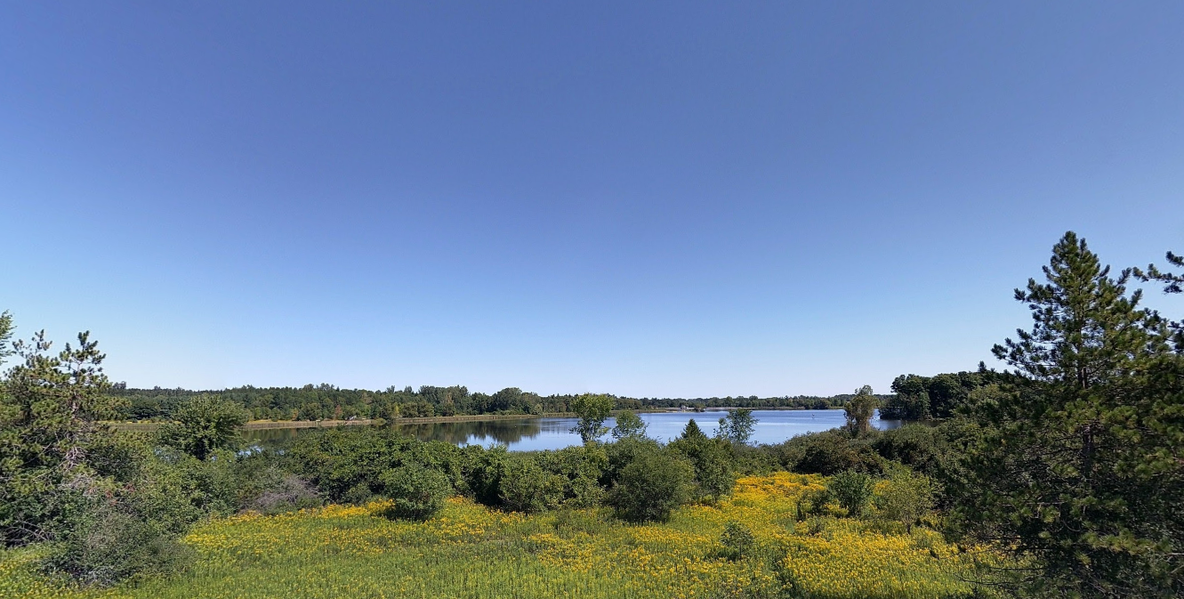 Sunshine takes over Waterloo Region’s forecast for upcoming week
Posted Oct 18, 2026 10:57:24 AM. The Environment Canada forecast says sunny skies will stick around all day on Sunday, with some light cloud coverage in the afternoon. Sunday’s high will reach a mild 14°C, with…
-
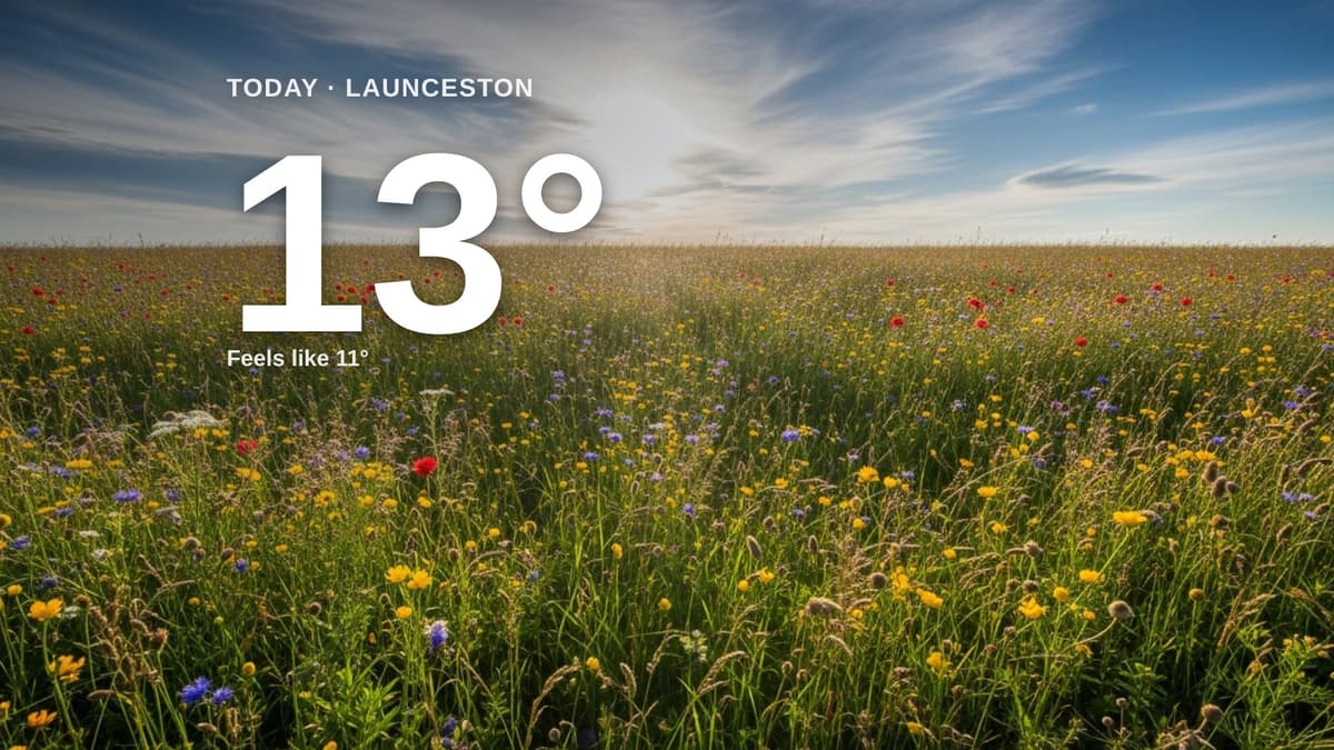 Launceston weather: partly cloudy Sunday with little chance of rain and a high of 13°C
Clouds and sun for Launceston today - here's your Sunday forecast Cornish & Devon Post Launceston weather: partly cloudy Sunday with little chance of rain and a high of 13°C Clouds and sun share the sky across…
-
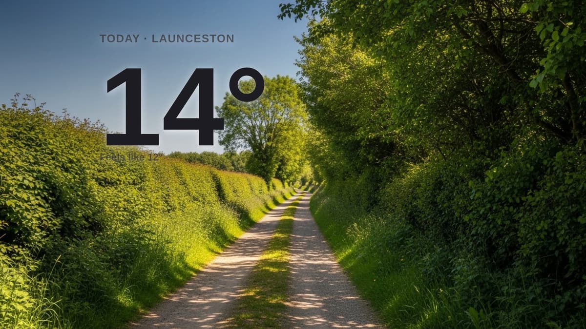 Launceston weather: sunny Saturday with little chance of rain and a high of 14°C
Sunshine dominates across Launceston and the surrounding area today, with a gentle breeze from the north-east. The day will feel a little cooler than the actual temperature, with a high of around 14°C. There is little…
-
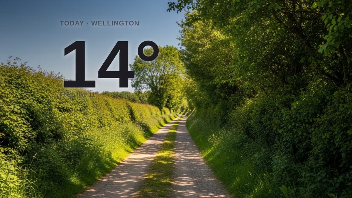 Wellington weather: sunny Saturday with little chance of rain and a high of 13°C
Sunshine for Wellington today - here's what to expect Wellington Weekly News Wellington weather: sunny Saturday with little chance of rain and a high of 13°C Sunshine dominates across Wellington and the surrounding area…
-
 Severe Storms Tonight, Strong Winds Overnight
SEVERE T-STORM WATCH - SUSSEX SEVERE T-STORM WATCH - CAMBRIDGE DELMARVA - A powerful cold front moving across Delmarva Friday evening will bring the threat of severe thunderstorms, damaging wind gusts and heavy…
-
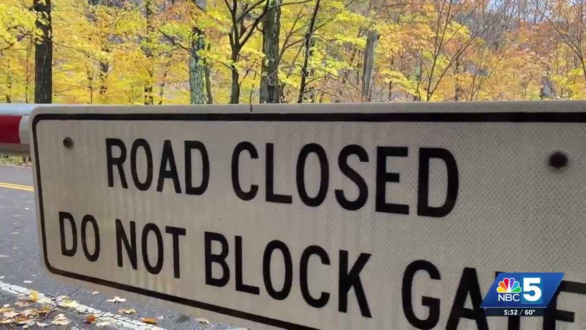 Smugglers' Notch Road to close for the weekend as winter weather approaches
With temperatures expected to drop below freezing this weekend, VTrans is taking precautions by closing a stretch of Route 108 between Stowe and Cambridge. The road is known for its steep grades and narrow turns, which…
-
 Smugglers Notch road off-limits to leaf peepers this weekend
CAMBRIDGE, Vt. (WCAX) - Vermont’s scenic Route 108 between Cambridge and Stowe will be closed this weekend due to the threat of inclement weather. The Notch will be closed starting at 6 p.m. Friday. Vermont’s Agency of…
-
 Met Office maps show when temperatures will plunge to 2C in north west after UK highs of 21C
Temperatures are set to drop as low as 2C over the coming days(Image: scu) Temperatures across north west England are forecast to drop as low as 2C in the coming days, according to Met Office weather maps. The chill…
-
 'Colour, contrast and confusion' are likely this autumn, warn NT experts
SUMMER'S DROUGHT IS LIKELY TO LEAVE ITS MARK AS NEW SEASON PROGRESSES VIBRANT but unpredictable autumn is on the way after the summer drought, according to experts at the National Trust. ‘Colour, contrast and confusion’…
Sun & moon
Nearby
- Luton 51 km
- Peterborough 48 km
- Chelmsford 57 km
- Bedford 40 km
- Harlow 47 km
- Stevenage 40 km
- St Albans 59 km
- Wellingborough 56 km
- Braintree 47 km
- Dunstable 56 km
- Welwyn Garden City 50 km
- Cheshunt 56 km
Forecasts, observations and alerts in the United States come from the National Weather Service (NOAA); radar from NOAA's Multi-Radar Multi-Sensor system; satellite imagery from NASA's Global Imagery Browse Services (GIBS) and NOAA's GOES satellites; the map from the U.S. Geological Survey's National Map; air quality from AirNow (EPA and its partners); hurricane information from the National Hurricane Center; climate normals and records from NOAA's Regional Climate Centers (ACIS). Forecasts outside the United States and the UV index: MET Norway (CC BY 4.0); observations outside the U.S.: airport reports via NOAA's Aviation Weather Center. Place names: GeoNames (CC BY 4.0). Data are copied on a schedule and may lag the sources; for warnings that affect your safety, follow your local National Weather Service office and emergency officials. Weather news is drawn from the 4Conservative index and reflects what the press published. Terms of use.