Install
Brampton, England, United Kingdom Weather
Current conditions
Forecast for this hour (no station report in the last two hours)
Forecast
10-day-
Friday Night
Rain. Low 4°. Precipitation 1.6 mm for the day.
-
Saturday
Heavy rain. High 11°. Precipitation 15.5 mm for the day.
-
Saturday Night
Heavy rain. Low 2°. Precipitation 15.5 mm for the day.
MET Norway forecast updated 5 hrs ago.
Hourly
Hourly forecast- Now4°
- Sat00:003°
- 01:003°
- 02:002°
- 03:002°
- 04:002°
- 05:002°
- 06:002°
- 07:003°
- 08:004°
- 09:005°
- 10:006°0.3
- 11:007°0.4
- 12:007°1.2
- 13:007°1.9
- 14:008°1.9
- 15:008°1.1
- 16:009°1.8
- 17:009°4.0
- 18:0011°1.7
- 19:009°0.9
- 20:008°
- 21:007°
- 22:008°
10-day forecast
DetailsRadar
Full mapWeather news near Brampton
More weather news-
 Brampton’s weather, highway closures and top stories on Oct. 22
Expect a mix of sun and cloud this morning and closures on Highway 401, Highway 403, Highway 410 and Queen Elizabeth Way Todayâs news, weather and traffic. Happy Thursday morning Brampton! Environment Canada is…
-
 Oct. 22 weather: Wind, fog and frost in southern Ontario
Published October 21, 2026 at 7:23 pm Thursday’s forecast calls for fog patches, a frost risk and windy conditions in the Greater Toronto Area with gusts up to 40 km/h in southern Ontario. Environment and Climate Change…
-
 Oct. 21 weather: Sunny and high near 15 C in southern Ontario
Published October 20, 2026 at 7:30 pm Wednesday’s weather forecast calls for mostly sunny skies in the Greater Toronto Area and across southern Ontario. Environment and Climate Change Canada says the morning will be…
-
 Oct. 20 weather: Fog patches and frost in southern Ontario
Published October 19, 2026 at 7:26 pm Tuesday is expected to bring warmer-than-usual temperatures to the Greater Toronto Area with a chance of fog patches and frost across southern Ontario. Environment and Climate…
-
 Sunny skies and mild temperatures forecast across southern Ontario this week
Published October 18, 2026 at 5:07 pm Residents across the Greater Toronto Area and southern Ontario can expect sunny skies and mild temperatures throughout the week of Oct. 19, following a cooler stretch last week that…
- Brampton’s weather, highway closures and top stories on Oct. 18
Brampton Guardian For more details about weather visit our Weather page. Todayâs news, weather and traffic. Happy Sunday morning Brampton! Environment Canada is forecasting a mainly clear sky this morning in Brampton…
- Brampton’s weather, highway closures and top stories on Oct. 17
Brampton Guardian For more details about weather visit our Weather page. Todayâs news, weather and traffic. Happy Saturday morning Brampton! Environment Canada is forecasting a mainly clear sky this morning in…
-
 Frost advisory issued for Mississauga, Brampton for Friday night, areas north of Highway 401 most likely to be impacted
Environment Canada says freezing temperatures are expected the night of Friday, Oct. 16 into Saturday morning. Environment Canada has issued a frost advisory for Brampton and Mississauga. Environment and Climate Change…
-
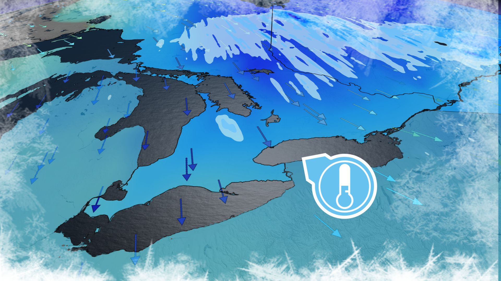 Will this fall chill stick around across southern Ontario?
Chilly temperatures will dominate the region heading into this weekend Fall-lovers are in luck this weekend as a brisk airmass swoops across southern Ontario. Temperatures will dip close to the freezing mark in some…
-
 Frost advisory issued for parts of GTA: Environment Canada
Environment Canada issued a yellow-level frost advisory for parts of the Greater Toronto Area Friday. Freezing temperatures are expected Friday night into Saturday morning, the weather agency says. Toronto, Mississauga…
Sun & moon
Nearby
Forecasts, observations and alerts in the United States come from the National Weather Service (NOAA); radar from NOAA's Multi-Radar Multi-Sensor system; satellite imagery from NASA's Global Imagery Browse Services (GIBS) and NOAA's GOES satellites; the map from the U.S. Geological Survey's National Map; air quality from AirNow (EPA and its partners); hurricane information from the National Hurricane Center; climate normals and records from NOAA's Regional Climate Centers (ACIS). Forecasts outside the United States and the UV index: MET Norway (CC BY 4.0); observations outside the U.S.: airport reports via NOAA's Aviation Weather Center. Place names: GeoNames (CC BY 4.0). Data are copied on a schedule and may lag the sources; for warnings that affect your safety, follow your local National Weather Service office and emergency officials. Weather news is drawn from the 4Conservative index and reflects what the press published. Terms of use.