Install
Ammanford, Wales, United Kingdom Weather
Current conditions
Observed at Pembry Sands · 21 min ago
Forecast
10-day-
Friday Night
Partly cloudy. Low 8°.
-
Saturday
Heavy rain. High 15°. Precipitation 33.0 mm for the day.
-
Saturday Night
Heavy rain. Low 8°. Precipitation 33.0 mm for the day.
MET Norway forecast updated 53 min ago.
Hourly
Hourly forecast- Now8°
- 22:008°
- 23:008°
- Sat00:008°
- 01:008°
- 02:008°
- 03:008°
- 04:008°
- 05:008°0.2
- 06:008°0.2
- 07:008°0.5
- 08:009°1.1
- 09:009°2.0
- 10:0010°2.3
- 11:0011°2.3
- 12:0011°4.5
- 13:0012°7.6
- 14:0013°4.8
- 15:0014°2.8
- 16:0014°1.2
- 17:0015°1.5
- 18:0015°1.5
- 19:0013°0.5
- 20:0012°
10-day forecast
DetailsRadar
Full mapWeather news near Ammanford
More weather news-
 Storm Austen: Full List of UK Areas Under Amber and Yellow Weather Warnings
Storm Austen is expected to bring strong winds and heavy rain to parts of the UK on Friday, with the Met Office issuing an amber wind warning for Cornwall, the Isles of Scilly and parts of West Devon. Yellow warnings…
-
 Storm Austen to batter Wales coast with 70mph winds
Delays and cancellations to public transport are likely, the Met Office said Travel disruption and damage to buildings are expected when Storm Austen, the first named storm of the autumn, hits south Wales later this…
- How forecasters track rapid Atlantic cyclogenesis before a major blow — and why coastal gusts reach 70mph
Peak gusts in excess of 70mph are possible on the most exposed coastal areas, while 50-60mph are likely more widely within the warning area. Weather warnings are under constant review and could be updated as confidence…
-
 UK weather: First named storm of the season to hit Britain in just days
Britain is set to be battered by the season's first named storm, with Storm Austen to bring winds up to 70mph and potentially disruptive weather in just days. The Met Office has issued a yellow weather warning for wind…
-
 Met Office issues yellow weather warning as storm threatens to batter 17 parts of Wales
Heavy rain and wind gusts of up to 70mph are forecast across Wales, with the UK potentially facing its first named storm of the season later this week. The Met Office has issued a yellow weather warning for strong winds…
-
 Storm Austen lashes UK as yellow wind warning widens
Storm Austen, the UK’s first named storm of the season, is bringing 80 mph gusts, travel disruption and a broad yellow wind warning across large areas. Storm Austen, the first named storm of the 2026–27 windstorm…
- Trains cancelled amid amber wind warning and 80mph gust threat
Network Rail has announced railway closures, beginning on Saturday night, as two storms are expected to bring disruption across the country this weekend. The Met Office has issued several amber warnings for wind across…
-
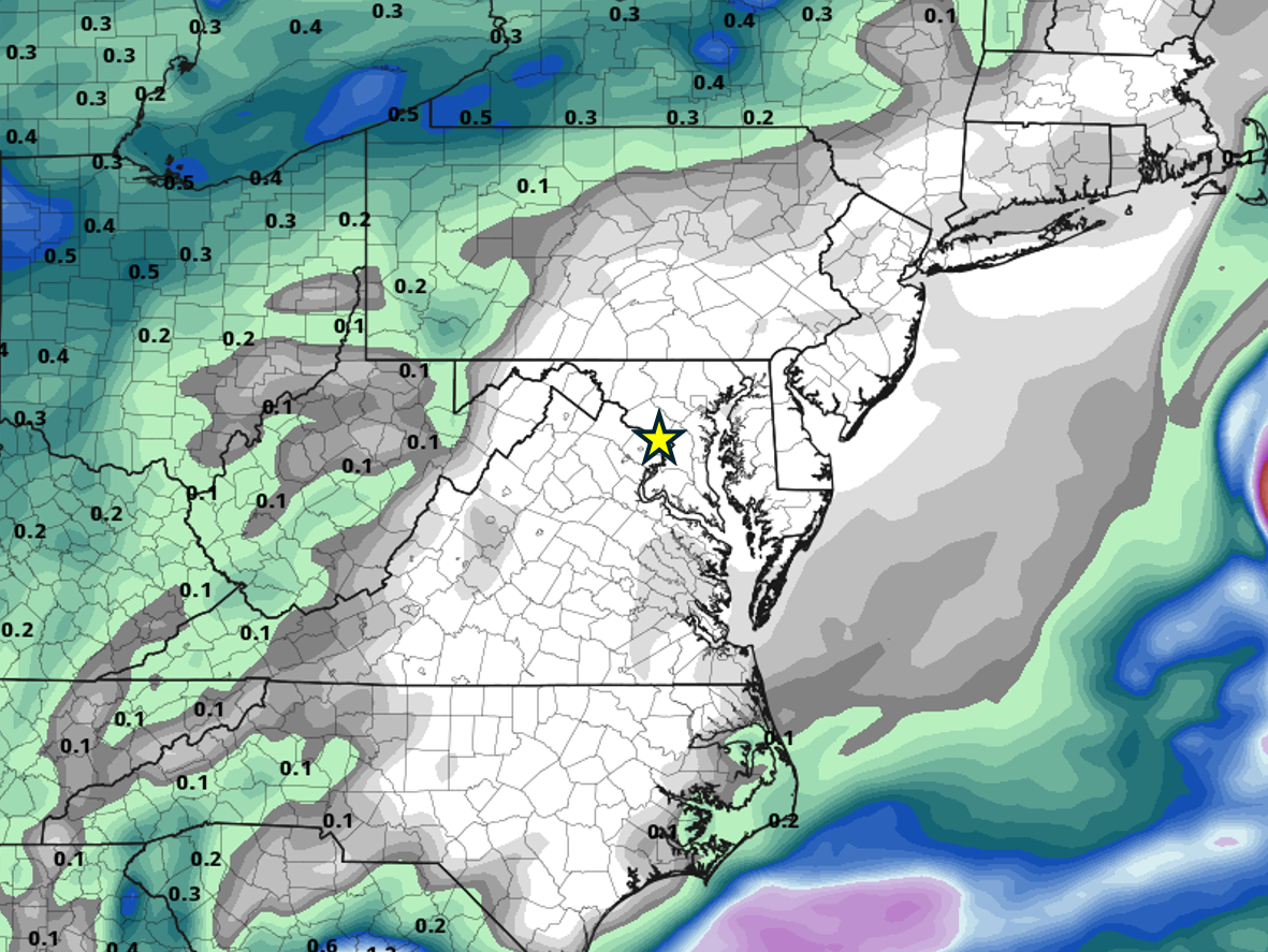 When will it rain in the DC area again?
Probably not for a while. All the major weather models show no precipitation anywhere close to the DC area through at least the end of the month, thanks to high pressure remaining locked in place most of the time. Of…
-
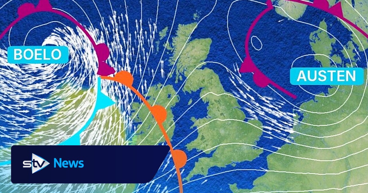 Storm Boloe: When and where will it hit Scotland?
Thursday, October 22nd, 2026 The second named storm of the season follows Storm Austen and could see gusts of 80mph Storm Austen, our first named storm of the current storm season, will arrive from the southwest of the…
-
 Storm Boelo to batter 53 UK areas with strong winds as yellow warning issued
Storm Boelo is set to batter 53 parts of the United Kingdom over the weekend, prompting the Met Office to issue a yellow weather warning. The latest named storm will hit Northern Ireland, Scotland and areas of northern…
Sun & moon
Nearby
- Swansea 19 km
- Rhondda 40 km
- Tonypandy 41 km
- Bridgend 43 km
- Llanelli 17 km
- Neath 19 km
- Merthyr Tydfil 42 km
- Coity 42 km
- Briton Ferry 21 km
- Ebbw Vale 54 km
- Pontypridd 49 km
- Aberdare 38 km
Forecasts, observations and alerts in the United States come from the National Weather Service (NOAA); radar from NOAA's Multi-Radar Multi-Sensor system; satellite imagery from NASA's Global Imagery Browse Services (GIBS) and NOAA's GOES satellites; the map from the U.S. Geological Survey's National Map; air quality from AirNow (EPA and its partners); hurricane information from the National Hurricane Center; climate normals and records from NOAA's Regional Climate Centers (ACIS). Forecasts outside the United States and the UV index: MET Norway (CC BY 4.0); observations outside the U.S.: airport reports via NOAA's Aviation Weather Center. Place names: GeoNames (CC BY 4.0). Data are copied on a schedule and may lag the sources; for warnings that affect your safety, follow your local National Weather Service office and emergency officials. Weather news is drawn from the 4Conservative index and reflects what the press published. Terms of use.