Install
Sées, Normandy, France Weather
Current conditions
Forecast for this hour (no station report in the last two hours)
Forecast
10-day-
Wednesday
Light showers. High 11°. Precipitation 2.8 mm for the day.
-
Wednesday Night
Rain. Low 7°. Precipitation 2.8 mm for the day.
-
Thursday
Rain. High 15°. Precipitation 4.4 mm for the day.
MET Norway forecast updated 19 hrs ago.
Hourly
Hourly forecast- Now10°
- 11:0010°
- 12:0011°0.2
- 13:0011°0.2
- 14:0011°0.2
- 15:0011°0.3
- 16:0011°
- 17:0011°
- 18:0010°
- 19:009°
- 20:009°
- 21:008°
- 22:008°
- 23:008°
- Thu00:008°
- 01:008°
- 02:008°
- 03:008°
- 04:008°
- 05:008°
- 06:008°
- 07:008°
- 08:009°
- 09:009°
Daily forecast
DetailsRadar
Full mapWeather news near Sées
More weather news-
 Producers See First Hard Frost Of The Season
Wisconsin had 4.7 days suitable for fieldwork statewide for the week ending October 18, 2026, according to the USDA’s National Agricultural Statistics Service. Statewide rains kept some farmers out of their fields for a…
-
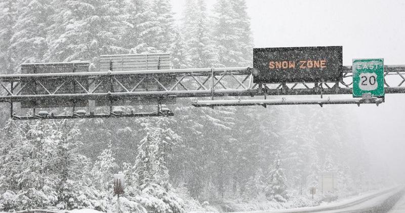 Oregon may see Cascade snow as record-warm October turns cooler
Light snow could fall on Cascade Mountain roads next weekend — Oct. 24 to 25. After one of the warmest and driest Octobers on record, it should start to feel like autumn late this week and next weekend. The Cascade…
-
 Weather Shift: Delhi Sees a Change in Weather With a Light Haze Blanketing the City
Abplive.com stands as one of India’s fastest-growing and most trusted English news platforms, known for its sharp, fearless, and balanced journalism. The website delivers accurate and timely updates from across India…
-
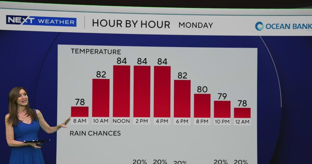 South Florida to see lower rain chances, cooler temperatures this week
CBS News Baltimore 8am CBS News Boston 8am CBS News Chicago 7am CBS News Colorado This Morning 6am CBS News Los Angeles Mornings 5am CBS News Miami 8am CBS News New York 8am CBS News Texas 7am
-
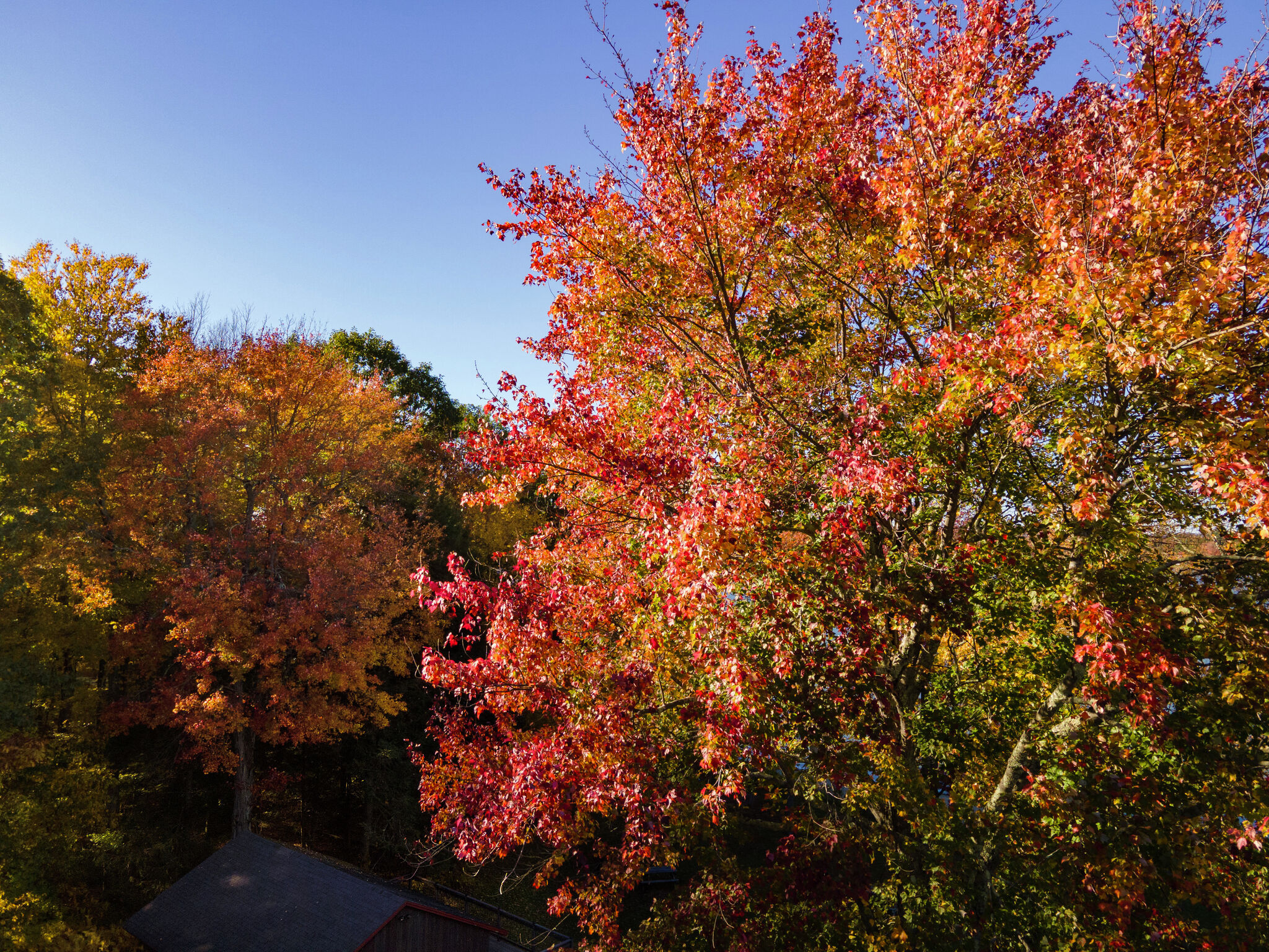 Colorful peak fall foliage is spreading across Connecticut. Here’s when to see it
Trees bursting with color at Bantam Lake in Morris Oct. 15, 2026. Fall foliage surrounds First Congregational Church in Litchfield Oct. 15, 2026. Fall foliage along Bantam Lake's eastern/southeastern shore in Morris…
-
 LI Weather For Work Week Ahead: See What's In Store
LONG ISLAND, NY — With work and school in full swing for residents across Long Island, see what Mother Nature has in store for the week ahead. Here's a look at the forecast for the week, according to the National…
-
 See where frost is possible
NASHVILLE, Tenn. (WSMV) - Several more chilly nights are expected. Clear and calm weather early Monday morning will make for isolated patches of frost over the northeastern part of our area. While most of the Midstate…
-
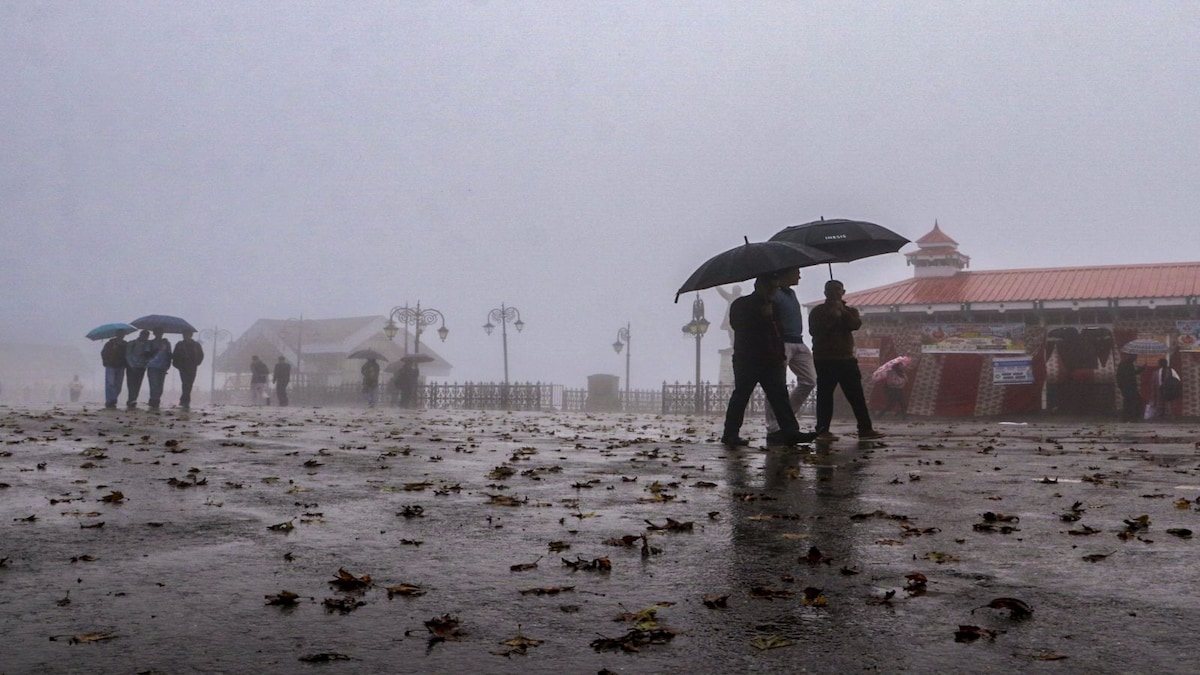 IMD weather forecast October 19: Heavy rain likely in South India, Delhi to see clear skies
IMD weather forecast: Rain alert for South India The IMD has forecast isolated heavy rainfall over Kerala and Mahe from October 19 to 24, and South Interior Karnataka from October 19 to 24. Tamil Nadu, Puducherry and…
-
 After deluge, Chennai likely to see lighter rain on Ayudha Puja
The Times of India
-
 Weather in Paris and Île-de-France this week: rain and wind from October 19 to 25
The weather in Paris and Île-de-France puts the mild spell behind it for the week of Monday, October 19 to Sunday, October 25, 2026. After a noticeable cool-down over the weekend, the sky will cloud over, rain returning…
Sun & moon
Nearby
- Alençon 20 km
- Argentan 21 km
- Flers 57 km
- Nogent-le-Rotrou 57 km
- La Ferté-Bernard 58 km
- Falaise 42 km
- La Ferté-Macé 39 km
- Verneuil-sur-Avre 57 km
- Mamers 32 km
- Condé-sur-Noireau 60 km
- Canon 56 km
- Mortagne-au-Perche 29 km
Forecasts, observations and alerts in the United States come from the National Weather Service (NOAA); radar from NOAA's Multi-Radar Multi-Sensor system; satellite imagery from NASA's Global Imagery Browse Services (GIBS) and NOAA's GOES satellites; the map from the U.S. Geological Survey's National Map; air quality from AirNow (EPA and its partners); hurricane information from the National Hurricane Center; climate normals and records from NOAA's Regional Climate Centers (ACIS). Forecasts outside the United States and the UV index: MET Norway (CC BY 4.0); observations outside the U.S.: airport reports via NOAA's Aviation Weather Center. Place names: GeoNames (CC BY 4.0). Data are copied on a schedule and may lag the sources; for warnings that affect your safety, follow your local National Weather Service office and emergency officials. Weather news is drawn from the 4Conservative index and reflects what the press published. Terms of use.