Install
Nevers, Bourgogne-Franche-Comté, France Weather
Current conditions
Forecast for this hour (no station report in the last two hours)
Forecast
10-day-
Thursday
Light rain. High 15°. Precipitation 0.5 mm for the day.
-
Thursday Night
Cloudy. Low 8°. Precipitation 0.5 mm for the day.
-
Friday
Rain. High 14°. Precipitation 3.3 mm for the day.
MET Norway forecast updated 3 hrs ago.
Hourly
Hourly forecast- Now8°
- 01:008°
- 02:008°
- 03:008°
- 04:008°
- 05:008°
- 06:008°
- 07:008°0.2
- 08:009°
- 09:009°
- 10:0011°
- 11:0012°
- 12:0013°
- 13:0014°
- 14:0015°
- 15:0015°
- 16:0015°
- 17:0014°0.2
- 18:0013°
- 19:0013°
- 20:0013°
- 21:0012°
- 22:0013°
- 23:0012°
Daily forecast
DetailsRadar
Full mapWeather news near Nevers
More weather news-
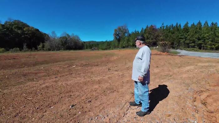 Recent rain improves drought conditions in Southwest and Central Virginia, but recovery continues
HENRY COUNTY, Va. – Tim Belcher says one of the most alarming signs of Virginia’s drought was seeing a creek on his property dry up. “The biggest scare factor that I’ve had is seeing creeks physically go dry—even on my…
-
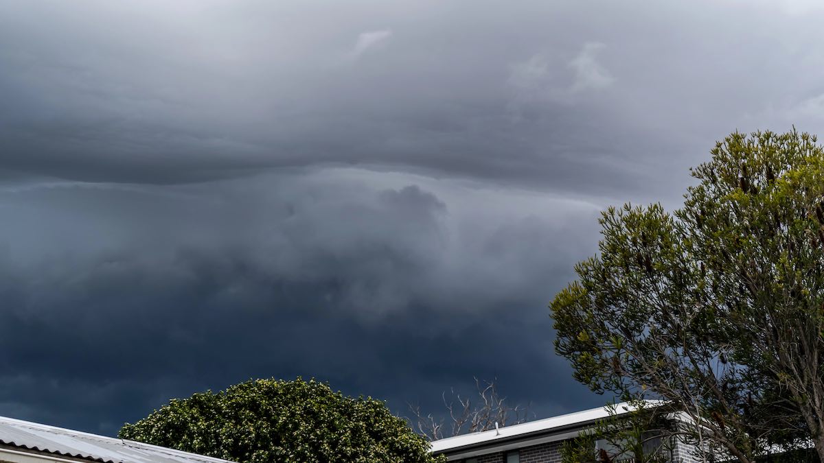 Severe thunderstorm warning expands across SA as large hail and damaging winds threaten
The Bureau of Meteorology has issued a severe thunderstorm warning for four South Australian regions, with damaging winds, large hail and flash flooding possible. The Bureau of Meteorology has issued an updated severe…
-
 Potentially historic El Niño could bring wetter winter, testing Kern County farm
by Michelle Roldan, Eyewitness News BAKERSFIELD, Calif. (KBAK/KBFX) — A potentially historic El Niño could bring above-average rainfall to Kern County this winter, adding another layer of uncertainty for local farmers…
-
 A calmer, mild week ahead for north central Wisconsin
It's another quiet day across the region with mainly sunny to partly cloudy skies. Plenty more of these days are to come. WAUSAU, Wis. (WSAW) - If you enjoyed all the sunshine over the weekend, get used to plenty more…
-
 Beautiful late-October week ahead
SAGINAW, Mich. (WNEM) - It’s been a beautiful, though chilly at times, weekend around Mid-Michigan. And if you haven’t been able to take advantage up to this point, never fear, we’re in for more of the same through much…
-
 What the Super El Niño Means for Texas This Winter
The Pacific is running hot, and the latest models take El Niño to record territory by December. Here is what that could mean for rain, cold and snow in Texas this winter. The Pacific is running hot right now, and it…
-
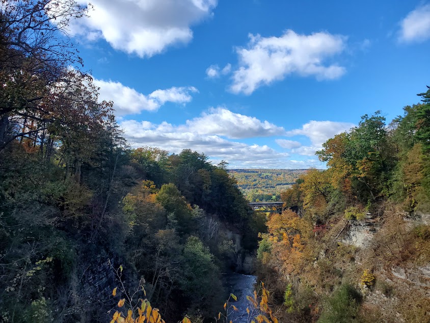 Weather: Seasonable and dry all week
New to Tompkins County? Don't miss tomorrow's stories! We never share your information with anyone. The high will hold in place over the Eastern Great Lakes for the next few days, perhaps drifting northward a little, as…
-
 352 WORKWEEK WEATHER FORECAST OCT. 19-23: Firmly fall?
Days in the 70s and nights in the 50s—could autumn finally be here in force? MARION COUNTY, FL (352today.com) – So we kinda got it wrong about no rain at all over the weekend, but it certainly turned out to be beautiful…
- San Francisco’s Last Sunny Day Before Sneaker Waves, Midweek Rain Roll In
San Francisco gets one more sunny day Sunday before a cooler, unsettled stretch moves in. Temperatures are forecast in the mid- to upper 60s in San Francisco, while west-southwest winds strengthen through the afternoon…
- Las Vegas Forecast Turns Unsettled After Mild Sunday and Monday
Las Vegas is expected to have its best stretch for outdoor plans Sunday and Monday, before rain chances return midweek. The National Weather Service forecast calls for a high near 79 Sunday and about 81 Monday, then a…
Sun & moon
Nearby
- Bourges 58 km
- Moulins 49 km
- Yzeure 49 km
- Saint-Amand-Montrond 58 km
- Cosne-Cours-sur-Loire 50 km
- Varennes-Vauzelles 3 km
- Decize 29 km
- La Charité-sur-Loire 24 km
- Saint-Germain-du-Puy 53 km
- Fourchambault 6 km
- Clamecy 59 km
- Garchizy 8 km
Forecasts, observations and alerts in the United States come from the National Weather Service (NOAA); radar from NOAA's Multi-Radar Multi-Sensor system; satellite imagery from NASA's Global Imagery Browse Services (GIBS) and NOAA's GOES satellites; the map from the U.S. Geological Survey's National Map; air quality from AirNow (EPA and its partners); hurricane information from the National Hurricane Center; climate normals and records from NOAA's Regional Climate Centers (ACIS). Forecasts outside the United States and the UV index: MET Norway (CC BY 4.0); observations outside the U.S.: airport reports via NOAA's Aviation Weather Center. Place names: GeoNames (CC BY 4.0). Data are copied on a schedule and may lag the sources; for warnings that affect your safety, follow your local National Weather Service office and emergency officials. Weather news is drawn from the 4Conservative index and reflects what the press published. Terms of use.