Install
Mitry-Mory, Île-de-France, France Weather
Current conditions
Observed at Paris/De Gaulle Arpt · 33 min ago
Forecast
10-day-
Saturday
Heavy rain. High 11°. Precipitation 15.3 mm for the day.
-
Saturday Night
Heavy rain. Low 10°. Precipitation 15.3 mm for the day.
-
Sunday
Rain. High 14°. Precipitation 12.0 mm for the day.
MET Norway forecast updated 7 hrs ago.
Hourly
Hourly forecast- Now10°1.9
- 19:0010°1.8
- 20:0010°2.3
- 21:0010°1.9
- 22:0011°2.0
- 23:0011°2.2
- Sun00:0011°2.0
- 01:0012°
- 02:0013°
- 02:0014°0.7
- 03:0014°2.0
- 04:0014°3.4
- 05:0014°2.6
- 06:0014°0.8
- 07:0013°0.2
- 08:0013°
- 09:0012°
- 10:0013°
- 11:0013°
- 12:0014°
- 13:0014°
- 14:0014°
- 15:0014°
- 16:0014°
Daily forecast
DetailsRadar
Full mapWeather news near Mitry-Mory
More weather news- France issues orange alert in 15 departments ahead of Storm Austen
The warning covers parts of western and northern France, with winds forecast to reach 140 kilometres per hour. Heavy rain is also expected in Brittany and Normandy. France issued an orange alert on Thursday for 15…
-
 Hard freeze coming to Massachusetts this weekend
Massachusetts is in for a stretch of quiet, dry weather, but forecasters say residents should prepare for a hard freeze this weekend as temperatures plunge well below freezing across much of the state. Post-Tropical…
-
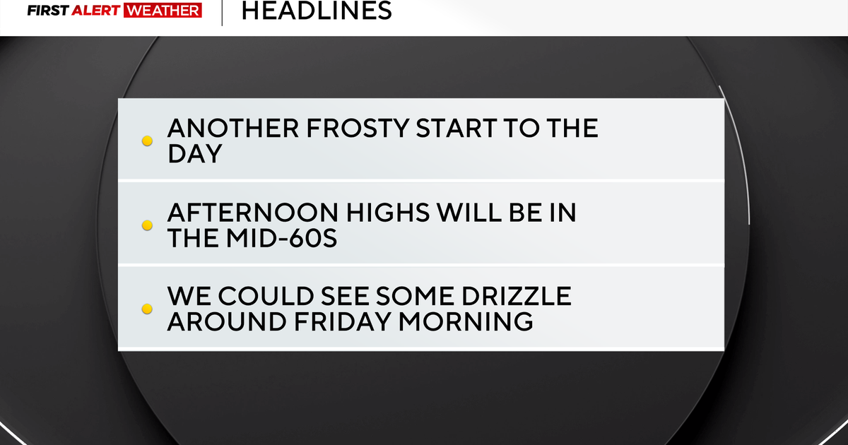 Frosty mornings turn into sunny and comfortable afternoons in the Pittsburgh region
October 22, 2026 / 6:47 AM EDT / CBS Pittsburgh The stretch of cool mornings giving way to pleasant afternoons will continue for at least the next week and beyond. This is the time of year when morning traffic accidents…
-
 Canada issued new travel advisories for 7 popular vacation spots, including Japan and Mexico
Typhoons, hurricanes, protests and disease outbreaks have all led to new warnings. Global Affairs Canada updates its travel advice constantly. As nights get longer and temperatures plummet, plenty of Canadians are…
-
 Icy conditions across the capital area
Icy patches can be found in many places across the capital area. mbl.is/Árni Sæberg Temperatures dropped below freezing in the capital area overnight, and many motorists will undoubtedly need to get out their ice…
-
 Weather in Paris and Île-de-France this week: rain and wind from October 19 to 25
The weather in Paris and Île-de-France puts the mild spell behind it for the week of Monday, October 19 to Sunday, October 25, 2026. After a noticeable cool-down over the weekend, the sky will cloud over, rain returning…
-
 Storm Austen prompts Met Office yellow wind alert
Storm Austen, the first named storm of the 2026–27 season, is forecast to bring disruptive winds, heavy rain and travel disruption across southern UK and Ireland. Storm Austen has been named by the Met Office as a…
-
 Subtropical storm formation possible in the Atlantic, how does it differ from a tropical storm?
(PINPOINT WEATHER) -- The nor'easter continues to crank along the coast, causing coastal flooding and beach erosion. While the nor'easter moves farther away from the coast and more into the open waters of the Atlantic…
-
 Video. Weather Europe Today (2026/10/21)
Euronews.com Video. Weather Europe Today (2026/10/21) Get the latest weather forecast from Euronews, covering conditions across Europe and around the world. Our regular weather update walks you through temperatures…
-
 Near-perfect autumn weather continues Tuesday
WPXI Near-perfect autumn weather continues Tuesday PITTSBURGH â Near-perfect autumn weather will continue today with lots of sunshine and seasonably mild temperatures. Once again, many areas will be in the mid to…
Sun & moon
Nearby
- Paris 24 km
- Marne La Vallée 17 km
- Paris 15 Vaugirard 28 km
- Paris 20 Ménilmontant 21 km
- Paris 18 Buttes-Montmartre 22 km
- Paris 13 Gobelins 25 km
- Paris 19 Buttes-Chaumont 21 km
- Paris 16 Passy 28 km
- Paris 17 Batignolles-Monceau 24 km
- Paris 11 Popincourt 22 km
- Paris 12 Reuilly 23 km
- Paris 14 Observatoire 27 km
Forecasts, observations and alerts in the United States come from the National Weather Service (NOAA); radar from NOAA's Multi-Radar Multi-Sensor system; satellite imagery from NASA's Global Imagery Browse Services (GIBS) and NOAA's GOES satellites; the map from the U.S. Geological Survey's National Map; air quality from AirNow (EPA and its partners); hurricane information from the National Hurricane Center; climate normals and records from NOAA's Regional Climate Centers (ACIS). Forecasts outside the United States and the UV index: MET Norway (CC BY 4.0); observations outside the U.S.: airport reports via NOAA's Aviation Weather Center. Place names: GeoNames (CC BY 4.0). Data are copied on a schedule and may lag the sources; for warnings that affect your safety, follow your local National Weather Service office and emergency officials. Weather news is drawn from the 4Conservative index and reflects what the press published. Terms of use.