Install
Mâcon, Bourgogne-Franche-Comté, France Weather
Current conditions
Forecast for this hour (no station report in the last two hours)
Forecast
10-day-
Wednesday Night
Mostly clear. Low 7°.
-
Thursday
Cloudy. High 14°.
-
Thursday Night
Cloudy. Low 5°.
MET Norway forecast updated 2 hrs ago.
Hourly
Hourly forecast- Now8°
- 23:007°
- Thu00:007°
- 01:006°
- 02:006°
- 03:006°
- 04:006°
- 05:006°
- 06:006°
- 07:006°
- 08:005°
- 09:006°
- 10:008°
- 11:009°
- 12:0010°
- 13:0012°
- 14:0013°
- 15:0014°
- 16:0014°
- 17:0014°
- 18:0013°
- 19:0011°
- 20:0011°
- 21:0010°
10-day forecast
DetailsRadar
Full mapWeather news near Mâcon
More weather news-
 First Alert: Looking ahead to a sunny and seasonable next several days
MONTGOMERY, Ala. (WSFA) - Conditions have turned much quieter across central and southern Alabama over the past several days, and that very quiet pattern is expected to stick around for the ... MONTGOMERY, Ala. (WSFA)…
- Sunny Atlanta Turns Tinderbox As Dry Winds Trigger High Fire Danger
The National Weather Service’s Peachtree City office says humidity could fall to 30% or lower for at least four hours Sunday afternoon into the evening, while northeast winds run 10 to 15 mph with gusts up to 20 to 25…
-
 First freeze of fall expected in western North Carolina mountains Sunday morning
A Frost Advisory is in effect Sunday morning from 1 AM to 9 AM for the southern NC mountains, eastern foothills, Upstate SC, and NE Georgia. A Freeze Warning is in effect Sunday morning from 1 AM to 9 AM for counties…
-
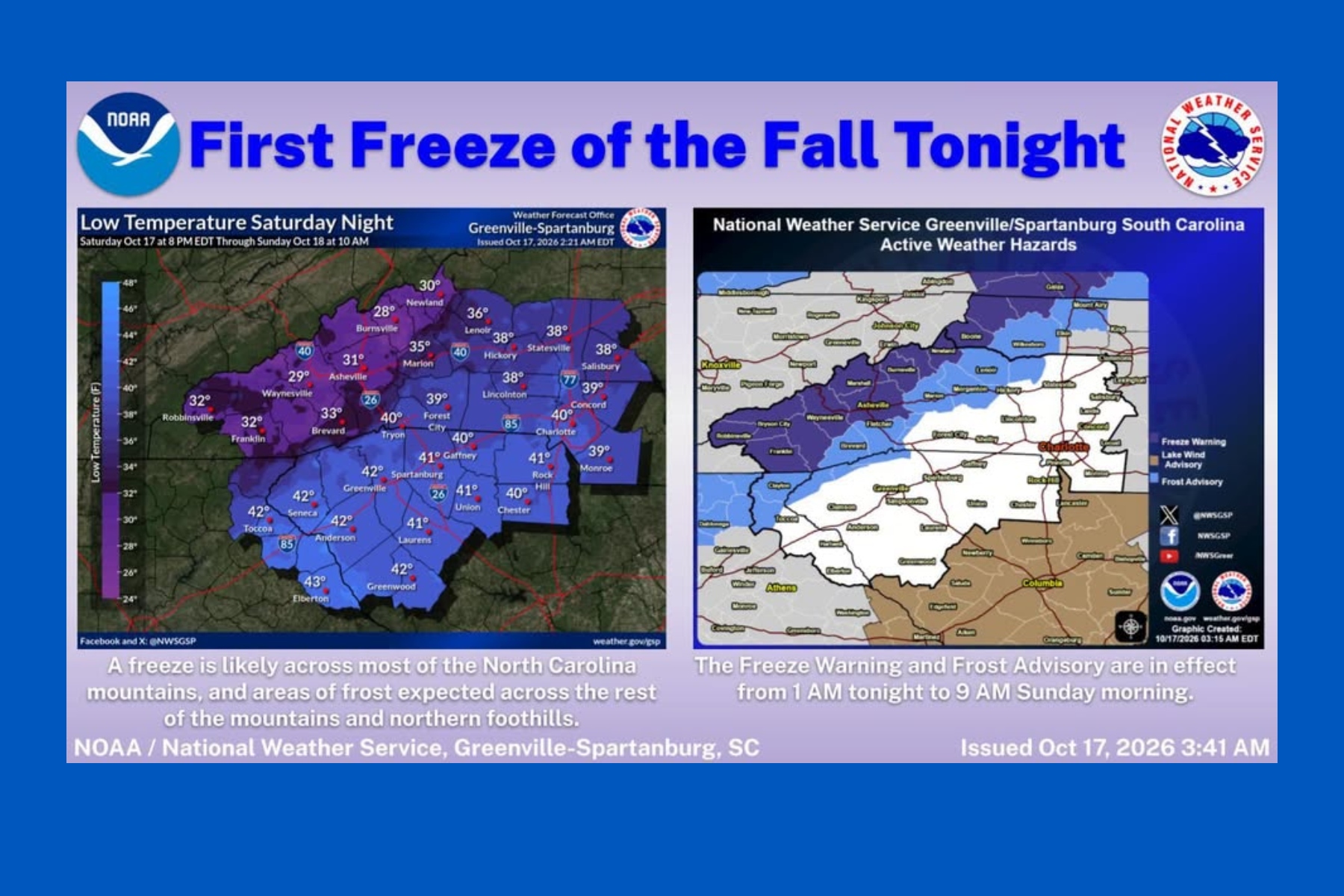 First snow falls in NC mountains as freeze warning looms
Mount Mitchell sees snow as temperatures plunge across Western North Carolina ASHEVILLE, N.C. (828newsNOW) — Fall colors are still hanging on in the North Carolina mountains, but winter made an early appearance Saturday…
- Freeze warning in place for Western North Carolina for Sunday
At 1:21 a.m. on Saturday, the NWS Greenville-Spartanburg SC released a freeze warning valid for Sunday between 1 a.m. and 9 a.m. The warning is for Northern Jackson and Southern Jackson as well as Avery, Madison…
- Freeze watch active for Western North Carolina Sunday - temperatures to drop to 30
A freeze watch was released by the NWS Greenville-Spartanburg SC on Friday at 1:56 p.m. valid for Sunday between 1 a.m. and 9 a.m. The watch is for Northern Jackson and Southern Jackson as well as Avery, Madison…
- Cold front will send Georgia temperatures plunging this weekend
Georgia is in for a noticeable cooldown this weekend, with temperatures expected to fall by more than 20 degrees in some parts of the state from a strong cold front. The National Weather Service forecast calls for sunny…
-
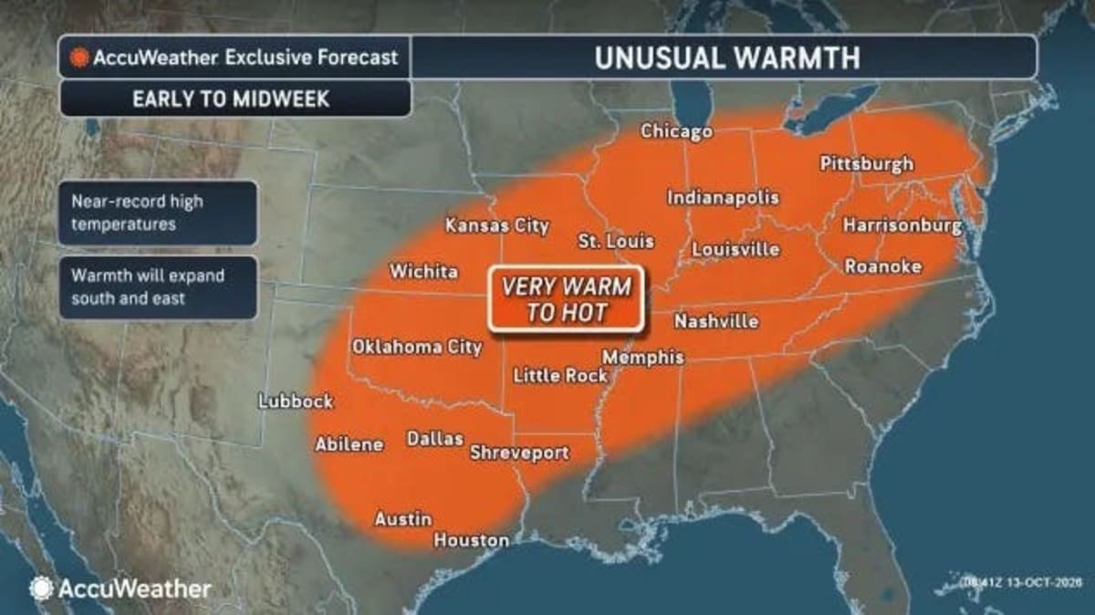 Georgia just broke heat records, what happened to fall?
Georgia just broke October heat records, and if you've been wondering when fall is finally going to arrive, you'll have to wait just a little longer. Wednesday, Oct. 14, brought another round of unusually warm weather…
-
 Crisp Fall temperatures finally reach Middle Georgia this weekend
41NBC News Crisp Fall temperatures finally reach Middle Georgia this weekend MACON, Georgia (41NBC/WMGT) – The main story for the weekend will be a sharp cold front pushing through North and Middle Georgia later today…
- Frost advisory for the Kansas City area for Saturday - temperatures could sink to 32
The National Weather Service released a frost advisory at 1:51 a.m. on Friday valid for Saturday between 1 a.m. and 9 a.m. The advisory is for Leavenworth, Wyandotte, Johnson, Platte, Clay, Jackson, Miami, Linn…
Sun & moon
Nearby
- Chalon-sur-Saône 52 km
- Bourg-en-Bresse 33 km
- Caluire-et-Cuire 58 km
- Vaulx-en-Velin 59 km
- Villefranche-sur-Saône 37 km
- Saint-Leu 53 km
- Rillieux-la-Pape 56 km
- Montceau-les-Mines 53 km
- Ambérieu-en-Bugey 56 km
- Tarare 56 km
- Paray-le-Monial 57 km
- Saint-Vallier 50 km
Forecasts, observations and alerts in the United States come from the National Weather Service (NOAA); radar from NOAA's Multi-Radar Multi-Sensor system; satellite imagery from NASA's Global Imagery Browse Services (GIBS) and NOAA's GOES satellites; the map from the U.S. Geological Survey's National Map; air quality from AirNow (EPA and its partners); hurricane information from the National Hurricane Center; climate normals and records from NOAA's Regional Climate Centers (ACIS). Forecasts outside the United States and the UV index: MET Norway (CC BY 4.0); observations outside the U.S.: airport reports via NOAA's Aviation Weather Center. Place names: GeoNames (CC BY 4.0). Data are copied on a schedule and may lag the sources; for warnings that affect your safety, follow your local National Weather Service office and emergency officials. Weather news is drawn from the 4Conservative index and reflects what the press published. Terms of use.