Install
Isle, New Aquitaine, France Weather
Current conditions
Observed at Limoges/Bellegarde Arpt · 1 hr ago
Forecast
10-day-
Tuesday Night
Partly cloudy. Low 7°.
-
Wednesday
Heavy rain. High 12°. Precipitation 9.7 mm for the day.
-
Wednesday Night
Light rain. Low 7°. Precipitation 9.7 mm for the day.
MET Norway forecast updated 4 hrs ago.
Hourly
Hourly forecast- Now11°
- 20:009°
- 21:008°
- 22:008°
- 23:007°
- Wed00:007°
- 01:008°
- 02:008°
- 03:008°
- 04:008°
- 05:009°0.2
- 06:009°1.1
- 07:009°3.9
- 08:009°1.1
- 09:009°0.7
- 10:0010°0.8
- 11:0010°1.0
- 12:0010°0.5
- 13:0010°0.3
- 14:0012°
- 15:0012°
- 16:0012°
- 17:0012°
- 18:0012°
10-day forecast
DetailsRadar
Full mapWeather news near Isle
More weather news-
 FIRST ALERT WEATHER: Sunshine Expected All Week Long, with Cooler Temperatures Arriving Late Week
PRESQUE ISLE, Maine (WAGM) - Good evening everyone and happy Monday. A quiet stretch of fall weather continues across Northern Maine this week, with plenty of sunshine expected through Wednesday. Temperatures will turn…
-
 Chilly mornings, nice afternoons continue all week
FOX 8 Local First NEW ORLEANS (WVUE) - Fall mornings and warm afternoons are in the forecast for southeastern Louisiana and southern Mississippi this week, with dry weather expected to continue through at least the…
- Cold front off NC coast watched for possible tropical development
The low-pressure cold front that has brought chilly, blustery weather and dangerous conditions to the North Carolina coast this weekend could develop into a subtropical weather system later this week. The next name on…
- London Faces 43mph Gales as Met Office Warns First Autumn Storm Is Coming
London is bracing for gale-force winds reaching up to 43mph as the Met Office warns an aggressive Atlantic weather pattern is preparing to unleash the season’s first major storm across the capital. Forecasters tracking…
- Lawn Mowing Cut-Off Dates Revealed as Garden Experts Issue Winter Frost Warning
As overnight temperatures drop toward freezing, garden blades cut too late can struggle to recover. Once local temperatures consistently fall below 7°C, grass slows its growth rate significantly, leaving open blade…
-
 AB55 - Weather warnings issued
Today will be a dry and settled day with long sunny spells on the mainland and Orkney. Shetland will see patchy cloud and the odd light shower to start, but sunshine will develop later too. Tonight, the mainland will…
- Fettercairn - Weather warnings issued
Today will be a dry and settled day with long sunny spells on the mainland and Orkney. Shetland will see patchy cloud and the odd light shower to start, but sunshine will develop later too. Tonight, the mainland will…
-
 First Alert weather on The Breakfast Show 10/17
KLTV.com First Alert weather on The Breakfast Show 10/17 Pine Belt Walk to End Alzheimer’s raises $93k for Alzheimer’s Association Nor’easter remains on track for long-duration coastal impacts Tropical development…
- Weather alert for winds in Lowcountry until Saturday evening
The State The creation of this content included the use of AI based on templates created, reviewed and edited by journalists in the newsroom. Read more on our AI policy here. The NWS Charleston SC issued a report at…
-
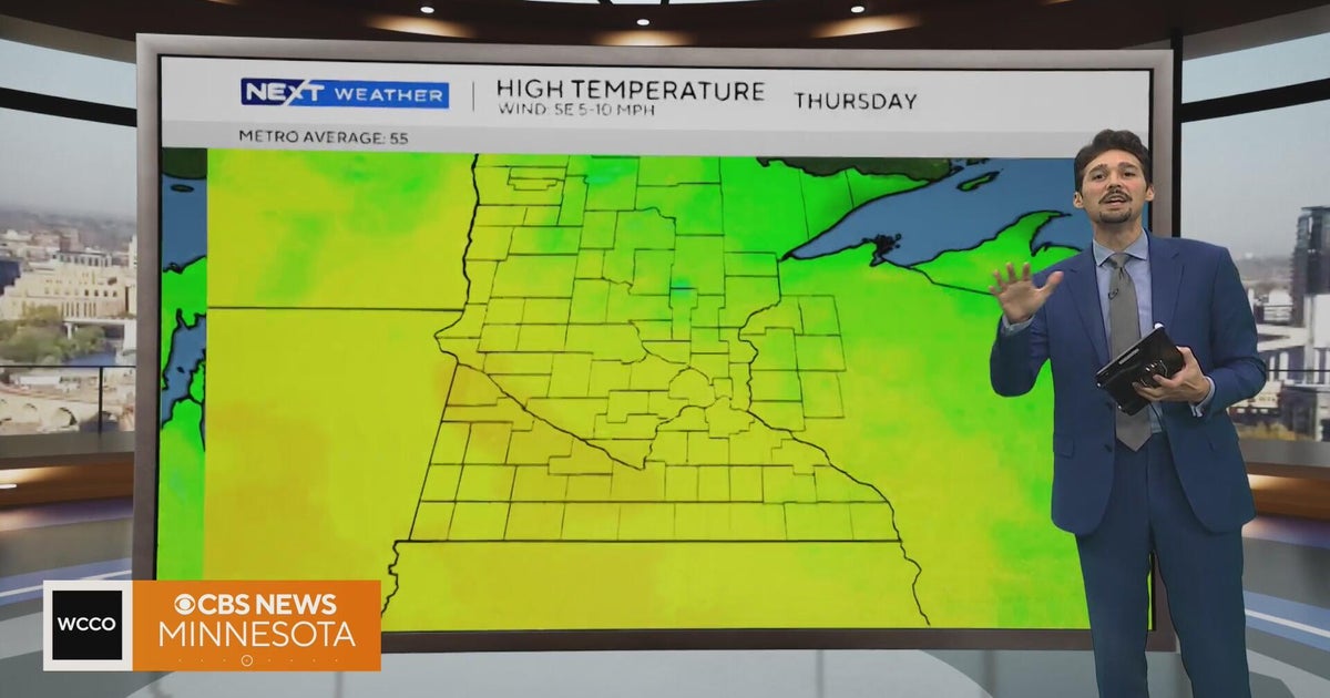 Minnesota weather stays unusually warm, with highs 15 to 20 degrees above normal | Oct. 20, 2026
CBS News Minnesota weather stays unusually warm, with highs 15 to 20 degrees above normal | Oct. 20, 2026 Preview: Golf 101 at Park 365 in Roseville Twin Cities man, 18, accused in MOA terror plot, and more headlines…
Sun & moon
Nearby
- Limoges 4 km
- Saint-Junien 27 km
- Panazol 8 km
- Saint-Yrieix-la-Perche 32 km
- Couzeix 8 km
- Le Palais-sur-Vienne 10 km
- Aixe-sur-Vienne 7 km
- Feytiat 8 km
- La Souterraine 52 km
- Ambazac 22 km
- Bellac 38 km
- Saint-Léonard-de-Noblat 21 km
Forecasts, observations and alerts in the United States come from the National Weather Service (NOAA); radar from NOAA's Multi-Radar Multi-Sensor system; satellite imagery from NASA's Global Imagery Browse Services (GIBS) and NOAA's GOES satellites; the map from the U.S. Geological Survey's National Map; air quality from AirNow (EPA and its partners); hurricane information from the National Hurricane Center; climate normals and records from NOAA's Regional Climate Centers (ACIS). Forecasts outside the United States and the UV index: MET Norway (CC BY 4.0); observations outside the U.S.: airport reports via NOAA's Aviation Weather Center. Place names: GeoNames (CC BY 4.0). Data are copied on a schedule and may lag the sources; for warnings that affect your safety, follow your local National Weather Service office and emergency officials. Weather news is drawn from the 4Conservative index and reflects what the press published. Terms of use.